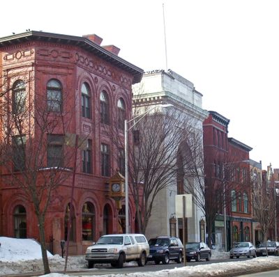
Main Street Historic District, Historic district in Danbury, United States.
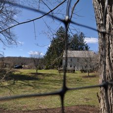
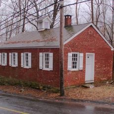
The Main Street Historic District is a historic district in central Danbury, Connecticut, listed on the National Register of Historic Places. It covers a dense mix of shops, churches, government buildings, and homes arranged along Main Street and its surrounding roads.
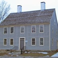
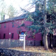
The area took shape in the late 18th century and was the site of one of the earliest military actions of the American Revolution in Connecticut, when British forces raided the town in 1777. In the decades that followed, it grew into a true town center, adding buildings from different periods one after another.
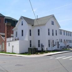
The district brings together buildings from very different periods, from Georgian-style structures to early 20th-century commercial fronts, all standing side by side along the same street. Moving from one block to the next, you can see how building styles and uses shifted over time.
The district is easy to walk through since Main Street and the surrounding roads are accessible on foot from several points. Taking a slow walk across a few blocks is the best way to notice the building details and how the streets are laid out.
Elmwood Park, a small green space inside the district, was set aside as community land in 1801, more than 50 years before it became a public park in 1853. It is one of the older planned public spaces in the region and still sits at the center of the district today.
The community of curious travelers
AroundUs brings together thousands of curated places, local tips, and hidden gems, enriched daily by 60,000 contributors worldwide.