Saipan, Pacific island in Northern Mariana Islands, United States
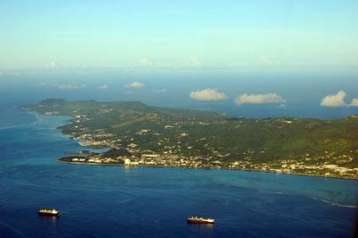
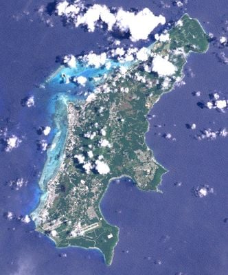
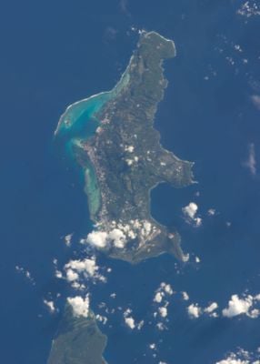
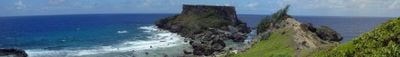
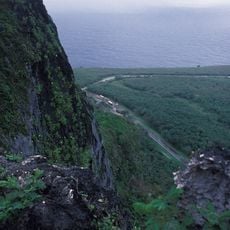
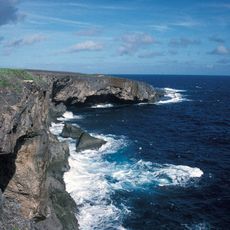
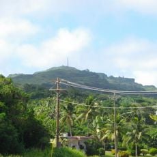
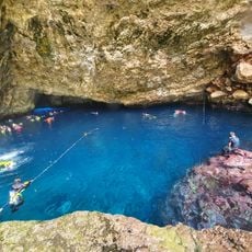
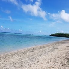
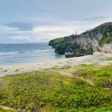
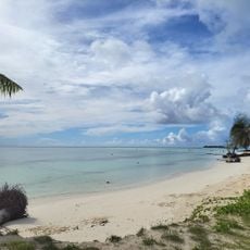
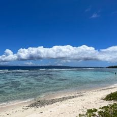
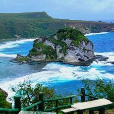
Saipan sits in the Philippine Sea, stretching around 14 miles long and reaching up to 5 miles wide, with Mount Tapochau rising to about 1,560 feet (475 meters). The shoreline shifts from sandy beaches along the west to rocky cliffs in the northeast, while the interior holds rolling hills and limestone formations.
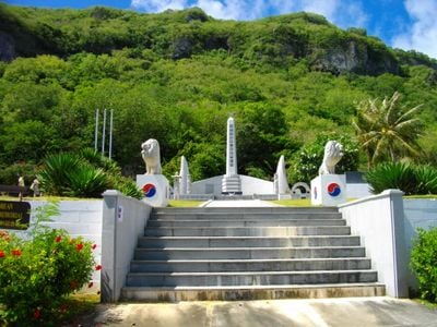
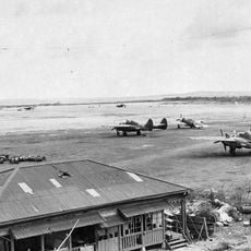
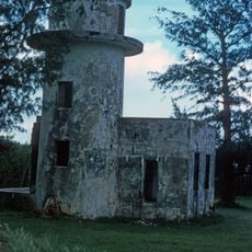
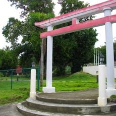
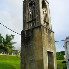
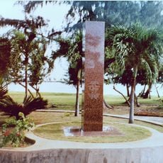
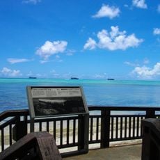
Spanish authority ended in 1899 when Germany took over, then Japan assumed control. American forces landed in 1944 during intense fighting that reshaped much of the landscape visitors see today.
Residents celebrate their Chamorro roots through festivals that feature dance performances and meals built around fish, rice, and tropical produce. Markets and roadside stalls sell handwoven textiles, jewelry, and other crafts, giving visitors a direct look at everyday island life.
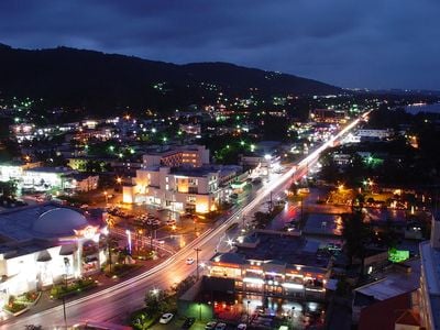
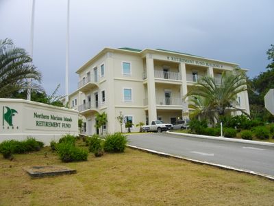
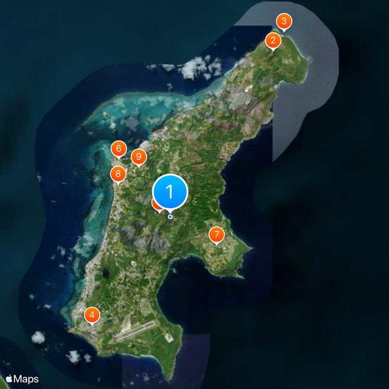
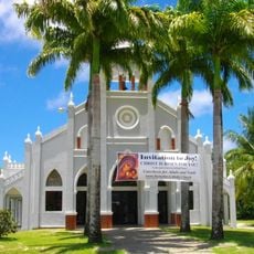
Most hotels and guesthouses cluster along the western shore near Garapan, where restaurants and shops are also concentrated. Francisco C. Ada International Airport sits on the southern part of the island, connecting arrivals to the main resort areas.
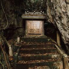
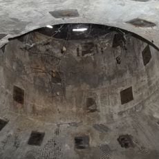
The limestone ground holds ancient Latte stones, megalithic pillars and caps built by early Chamorro ancestors over 4,000 years ago. These stone supports once held up raised houses and remain visible at several sites across the island.
The community of curious travelers
AroundUs brings together thousands of curated places, local tips, and hidden gems, enriched daily by 60,000 contributors worldwide.