Enable Location

We need your location to show you interesting places around you

Discover nearby places

Find interesting locations and hidden gems around you

Precise directions

Get accurate directions and distances to places

Your location is never shared with other users. It's only used when you tap the location button.

Topeka

Log in to your account

Start exploring — it's free

Trusted by 61,508 travelers worldwide

Continue with Google
Continue with Apple
or

We will send you a code to connect

By continuing, you accept our Terms and Conditions and our Privacy Policy

Check your inbox

We've sent a pincode in your inbox. Please enter the code below.

Topeka, Capital city in Kansas, United States.

Description

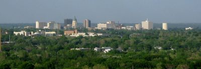
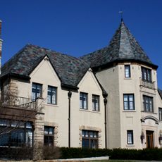
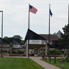
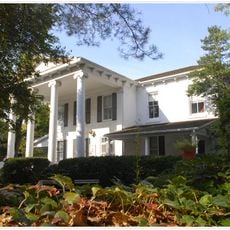
Topeka is the state capital in northern Kansas, sitting along both banks of the Kansas River with a population around 125,000. The city spreads over gently rolling hills and shows a mix of low-rise government buildings in the center and broad residential neighborhoods with gardens and parks all around.

History

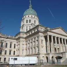
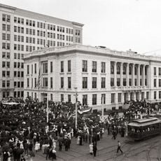
The settlement began in 1854 just before Kansas Territory was established, and it became the capital in 1861 when Kansas joined the Union. Its role in civil rights grew through local legal challenges in the mid-20th century that sparked nationwide changes in law.

Culture

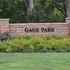
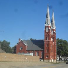
The city takes its name from the Kansa word meaning "where we dig prairie potatoes," and locals often gather around the Gage Park band shell on summer evenings. The neighborhoods along Huntoon Street show rows of early 20th-century houses with wooden porches and tree-lined sidewalks where people still walk to nearby shops.

Practical

The central part can be explored on foot, while neighborhoods and parks farther out are easier to reach by car. Most public buildings and museums have accessible entrances and remain open year-round.

Did you know?

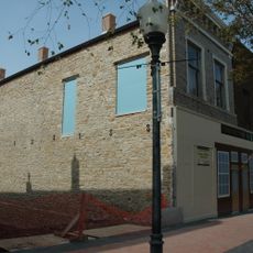
An old railroad tunnel runs beneath the downtown and was once used for freight trains but now carries utility lines. Some street corners still show cast-iron hydrants from the late 1800s that remain in working order.

Location
Inception
1854
Elevation above the sea
288 m
GPS coordinates
39.04833,-95.67804
Latest update
December 15, 2025 03:43

AroundUs brings together thousands of curated places, local tips, and hidden gems, enriched daily by 60,000 contributors worldwide. Discover all places nearby (Shawnee County).

Around this place
Equality House
United States of America

Equality House

3.7 km
Kansas State Capitol
United States of America

Kansas State Capitol

37 m
United States of America

Kansas State Capitol

23 m
Topeka High School
United States of America

Topeka High School

656 m
Cedar Crest
United States of America

Cedar Crest

6.3 km
Gage Park
United States of America

Gage Park

4.6 km
Topeka Zoo
United States of America

Topeka Zoo

4.2 km
Brown v. Board of Education National Historical Park
United States of America

Brown v. Board of Education National Historical Park

1.1 km
United States of America

Kansas Historical Society

8.5 km
Combat Air Museum
United States of America

Combat Air Museum

11.3 km
United States of America

Sumner Elementary School

1.1 km
Topeka & Shawnee County Public Library
United States of America

Topeka & Shawnee County Public Library

1.6 km
Kansas Museum of History
United States of America

Kansas Museum of History

8.5 km
Reinisch Rose Garden and Doran Rock Garden
United States of America

Reinisch Rose Garden and Doran Rock Garden

4.6 km
Yager Stadium
United States of America

Yager Stadium

2.6 km
Constitution Hall
United States of America

Constitution Hall

822 m
St. Joseph's Catholic Church
United States of America

St. Joseph's Catholic Church

997 m
United States of America

Crane Observatory

2.3 km
Ward-Meade House
United States of America

Ward-Meade House

1.7 km
Church of the Assumption and Rectory
United States of America

Church of the Assumption and Rectory

369 m
Memorial Building
United States of America

Memorial Building

273 m
Evel Knievel Museum
United States of America

Evel Knievel Museum

2.1 km
Topeka Council of Colored Women's Clubs Building
United States of America

Topeka Council of Colored Women's Clubs Building

1.4 km
United States of America

Ward-Meade Park Botanical Gardens

1.7 km
United States of America

Topeka Boulevard Bridge

1.8 km
United States of America

Westgate Bridge

5.3 km
Pottawatomie Baptist Mission Building
United States of America

Pottawatomie Baptist Mission Building

8.4 km
Discovery Center of Kansas
United States of America

Discovery Center of Kansas

4.8 km
Show the full map
« Topeka - Capital city in Kansas, United States » is provided by Around Us (aroundus.com). Images and texts are derived from Wikimedia project under a Creative Commons license. You are allowed to copy, distribute, and modify copies of this page, under the conditions set by the license, as long as this note is clearly visible.

Discover hidden gems everywhere you go!

From secret cafés to breathtaking viewpoints, skip the crowded tourist spots and find places that match your style. Our app makes it easy with voice search, smart filtering, route optimization, and insider tips from travelers worldwide. Download now for the complete mobile experience.

Around Us App Screenshot

A unique approach to discovering new places

Le Figaro

All the places worth exploring

France Info

A tailor-made excursion in just a few clicks

20 Minutes

Around Us
Travel Guide & Maps
Download

Send to your phone

QR Code
1

Open the camera app on your mobile.

2

Point at the QR code with your camera. A notification will appear.

3

Tap the notification to open the link.