Chest opened
+${chestReward.xp} XP
Explorer
NOUVEAU ×${chestReward.collectible.quantity}
tapez pour fermer

See the monuments around you in AR Open chests in the app

Around Us is built for your phone — point your camera at the streets and discover the monuments and places around you in augmented reality. Around Us is built for your phone — chests unlock when you walk, explore and capture nearby places.

Enable Location

We need your location to show you interesting places around you

Discover nearby places

Find interesting locations and hidden gems around you

Precise directions

Get accurate directions and distances to places

Your location is never shared with other users. It's only used when you tap the location button.

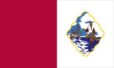
Cecil County

Log in to your account

Start exploring — it's free

Trusted by 86,974 travelers worldwide

Continue with Google
Continue with Apple
or

We will send you a code to connect

By continuing, you accept our Terms and Conditions and our Privacy Policy

Check your inbox

We've sent a pincode in your inbox. Please enter the code below.

Discussion Reviews 4 Photos
40.4k Popularity

Cecil County, Administrative county in northeastern Maryland, US

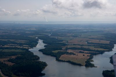
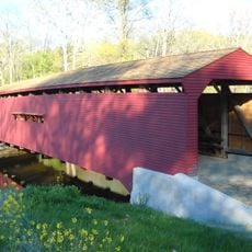
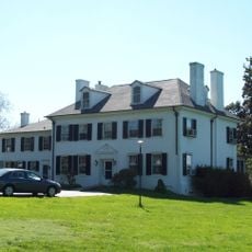
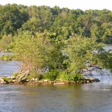
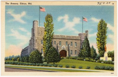
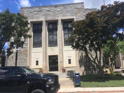
Cecil County is an administrative division in northeastern Maryland that stretches between the Delaware River and Chesapeake Bay. The area combines rural regions with smaller towns and features forests, farmland, and multiple waterways throughout its landscape.

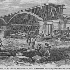
The county was founded in 1674 and named after Cecil Calvert, the second Baron Baltimore, an early colonial proprietor of the region. The area rapidly developed into an important trading center with ironworks and harbors connected to Philadelphia and Baltimore.

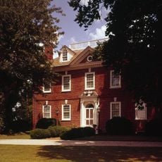
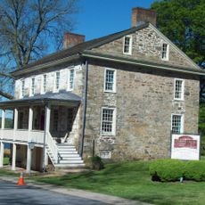
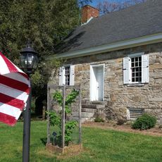
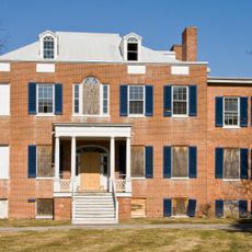
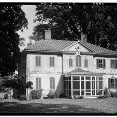
The National Register of Historic Places lists numerous Cecil County properties that represent the architectural and social evolution from colonial times.

Interstate 95 and US Route 40 run through the area and connect it to the nearby larger cities of Philadelphia and Baltimore. Visitors can use these main highways to explore different parts of the county or to reach other regions quickly.

British forces during the War of 1812 targeted Cecil County's trading posts and iron works, fundamentally altering the region's economic landscape.

The community of curious travelers

AroundUs brings together thousands of curated places, local tips, and hidden gems, enriched daily by 60,000 contributors worldwide.
Start exploring
Location
Inception
1674
Capital city
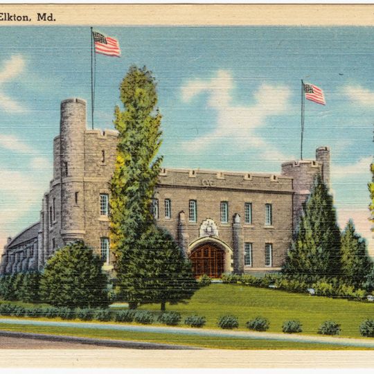
Elkton
Shares border with
Chester County, Lancaster County, New Castle County, Harford County, Kent County
GPS coordinates
39.54146,-75.99975
Latest update
September 12, 2026 07:04
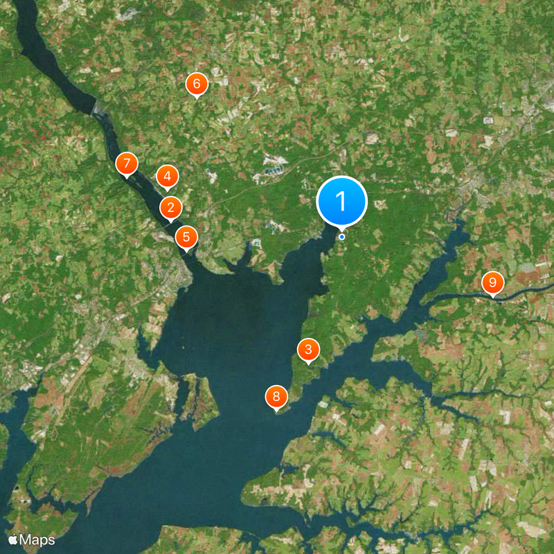
Around this place
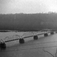
Millard E. Tydings Memorial Bridge
United States of America

Millard E. Tydings Memorial Bridge

6.4 mi
Elk Neck State Park
United States of America

Elk Neck State Park

4.1 mi
Tome School
United States of America

Tome School

7.2 mi
Thomas J. Hatem Memorial Bridge
United States of America

Thomas J. Hatem Memorial Bridge

5 mi
West Nottingham Academy
United States of America

West Nottingham Academy

9.8 mi
Susquehanna State Park
United States of America

Susquehanna State Park

9 mi
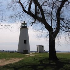
Turkey Point Light
United States of America

Turkey Point Light

6.4 mi
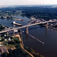
Chesapeake City Bridge
United States of America

Chesapeake City Bridge

10 mi
Garrett Island
United States of America

Garrett Island

5 mi
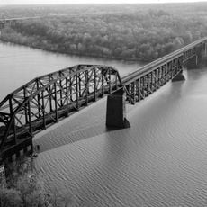
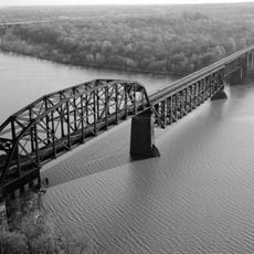
Amtrak Susquehanna River Bridge
United States of America

Amtrak Susquehanna River Bridge

4.7 mi
Concord Point Light
United States of America

Concord Point Light

4.5 mi
Sion Hill
United States of America

Sion Hill

6.9 mi
Plumpton Park Zoo
United States of America

Plumpton Park Zoo

11.3 mi
United States of America

Bulle Rock Golf Course

6.9 mi
Conowingo Bridge
United States of America

Conowingo Bridge

14.5 mi
CSX Susquehanna River Bridge
United States of America

CSX Susquehanna River Bridge

5 mi
Mount Harmon
United States of America

Mount Harmon

11.3 mi
P.W. & B. Railroad Bridge
United States of America

P.W. & B. Railroad Bridge

4.6 mi
Gilpin's Falls Covered Bridge
United States of America

Gilpin's Falls Covered Bridge

7.8 mi
Perry Point Mansion House and Mill
United States of America

Perry Point Mansion House and Mill

3.8 mi
Port Deposit Bridge
United States of America

Port Deposit Bridge

8.8 mi
Rodgers Tavern
United States of America

Rodgers Tavern

4.3 mi
Fishing Battery Light
United States of America

Fishing Battery Light

5.5 mi
Steppingstone Museum
United States of America

Steppingstone Museum

8.6 mi
United States of America

Elk Neck State Forest

5.7 mi
Holly Hall
United States of America

Holly Hall

10.1 mi
United States of America

Susquehanna National Wildlife Refuge

5.5 mi
Bohemia Farm
United States of America

Bohemia Farm

9.7 mi
Show the full map
Reviews
Share your experience

No review yet

Discussions
Start a discussion...

No discussion yet

« Cecil County - Administrative county in northeastern Maryland, US » is provided by Around Us (aroundus.com). Images and texts are derived from Wikimedia project under a Creative Commons license. You are allowed to copy, distribute, and modify copies of this page, under the conditions set by the license, as long as this note is clearly visible.

Discover hidden gems everywhere you go!

From secret cafés to breathtaking viewpoints, skip the crowded tourist spots and find places that match your style. Our app makes it easy with voice search, smart filtering, route optimization, and insider tips from travelers worldwide. Download now for the complete mobile experience.
Around Us App Screenshot

A unique approach to discovering new places

Le Figaro

All the places worth exploring

France Info

A tailor-made excursion in just a few clicks

20 Minutes

Around Us
Travel Guide & Maps
Download

Send to your phone

QR Code
1

Open the camera app on your mobile.

2

Point at the QR code with your camera. A notification will appear.

3

Tap the notification to open the link.