Enable Location

We need your location to show you interesting places around you

Discover nearby places

Find interesting locations and hidden gems around you

Precise directions

Get accurate directions and distances to places

Your location is never shared with other users. It's only used when you tap the location button.

Carver

Log in to your account

Start exploring — it's free

Trusted by 63,835 travelers worldwide

Continue with Google
Continue with Apple
or

We will send you a code to connect

By continuing, you accept our Terms and Conditions and our Privacy Policy

Check your inbox

We've sent a pincode in your inbox. Please enter the code below.

Discussion Reviews 1 Photos
17.3k Popularity

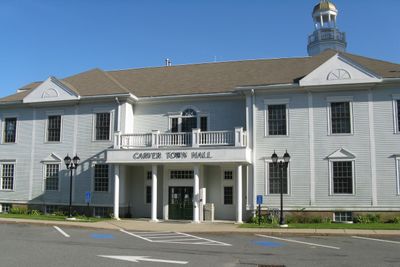
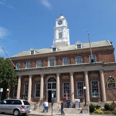
Carver, town in Plymouth County, Massachusetts, United States

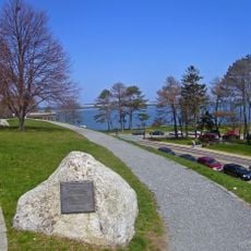
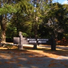
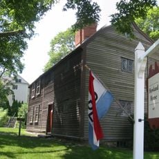
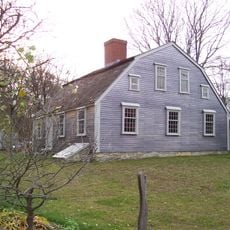
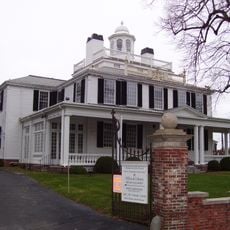
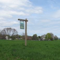
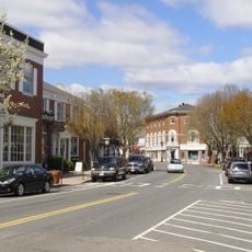
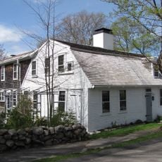
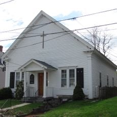
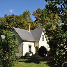
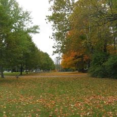
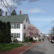
Carver is a small town in Plymouth County, Massachusetts, spread across rural land with fields, forests, and ponds throughout. The area is defined by farmland, particularly cranberry bogs, and quiet streets lined with simple, well-kept homes and local shops.

Carver was founded in 1790 and grew from early settlements based on farming and later iron production. After the iron industry declined in the late 1800s, residents turned to cranberry cultivation, which became the defining feature of the town.

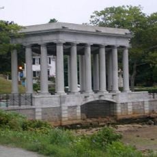
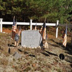
Carver is named after John Carver, the first governor of Plymouth Colony, reflecting the town's connection to early American settlement and regional heritage. Community gatherings and seasonal events, particularly around cranberry harvesting, keep local traditions visible and active.

Visitors should plan to arrive by car, as public transportation is limited and attractions are spread across the rural area. US Route 44 runs through the northern part of town and connects to nearby communities like Plymouth and Wareham.

During the 1940s, Carver was the world's leading cranberry producer, a distinction the town still takes pride in today. This remarkable achievement from a single crop reveals how extraordinary the land's productivity was for shaping the community's identity.

The community of curious travelers

AroundUs brings together thousands of curated places, local tips, and hidden gems, enriched daily by 60,000 contributors worldwide.

Start exploring
Location
Inception
1660
Elevation above the sea
28 m
GPS coordinates
41.88333,-70.76306
Latest update
February 17, 2026 01:00
Around this place
Plymouth Rock
United States of America

Plymouth Rock

11.8 km
National Monument to the Forefathers
United States of America

National Monument to the Forefathers

11.2 km
Mayflower II
United States of America

Mayflower II

11.9 km
Edaville Railroad
United States of America

Edaville Railroad

4.2 km
Burial Hill
United States of America

Burial Hill

11.4 km
Cole's Hill
United States of America

Cole's Hill

11.7 km
Pilgrim Hall Museum
United States of America

Pilgrim Hall Museum

11.5 km
Myles Standish State Forest
United States of America

Myles Standish State Forest

8.4 km
Richard Sparrow House
United States of America

Richard Sparrow House

11.3 km
Pilgrim Memorial State Park
United States of America

Pilgrim Memorial State Park

11.8 km
Jabez Howland House
United States of America

Jabez Howland House

11.5 km
Harlow Old Fort House
United States of America

Harlow Old Fort House

11.6 km
Mayflower House Museum
United States of America

Mayflower House Museum

11.7 km
Parting Ways
United States of America

Parting Ways

7.4 km
Jenney Grist Mill
United States of America

Jenney Grist Mill

11.3 km
Camp Avoda
United States of America

Camp Avoda

8.6 km
Holmes Reservation
United States of America

Holmes Reservation

11.8 km
Plymouth Village Historic District
United States of America

Plymouth Village Historic District

11.6 km
Sgt. William Harlow Family Homestead
United States of America

Sgt. William Harlow Family Homestead

11.8 km
Plymouth Antiquarian House
United States of America

Plymouth Antiquarian House

11.6 km
Memorial Hall
United States of America

Memorial Hall

11.5 km
Plymouth Post Office Building
United States of America

Plymouth Post Office Building

11.5 km
Bethel African Methodist Episcopal Church and Parsonage
United States of America

Bethel African Methodist Episcopal Church and Parsonage

11.3 km
Hillside
United States of America

Hillside

10 km
Bartlett-Russell-Hedge House
United States of America

Bartlett-Russell-Hedge House

11.5 km
Plympton Village Historic District
United States of America

Plympton Village Historic District

8.9 km
Bradford-Union Street Historic District
United States of America

Bradford-Union Street Historic District

11.7 km
East Rochester Church and Cemetery Historic District
United States of America

East Rochester Church and Cemetery Historic District

11 km
Show the full map
Reviews
Share your experience

No review yet

Discussions
Start a discussion...

No discussion yet

« Carver - town in Plymouth County, Massachusetts, United States » is provided by Around Us (aroundus.com). Images and texts are derived from Wikimedia project under a Creative Commons license. You are allowed to copy, distribute, and modify copies of this page, under the conditions set by the license, as long as this note is clearly visible.

Discover hidden gems everywhere you go!

From secret cafés to breathtaking viewpoints, skip the crowded tourist spots and find places that match your style. Our app makes it easy with voice search, smart filtering, route optimization, and insider tips from travelers worldwide. Download now for the complete mobile experience.

Around Us App Screenshot

A unique approach to discovering new places

Le Figaro

All the places worth exploring

France Info

A tailor-made excursion in just a few clicks

20 Minutes

Around Us
Travel Guide & Maps
Download

Send to your phone

QR Code
1

Open the camera app on your mobile.

2

Point at the QR code with your camera. A notification will appear.

3

Tap the notification to open the link.