Miami County, Administrative county in eastern Kansas, United States.
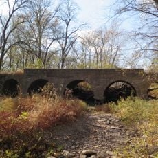
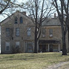
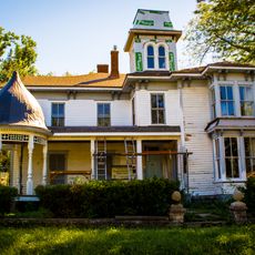
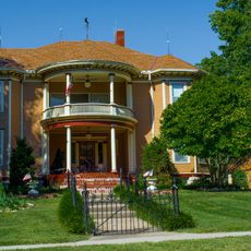
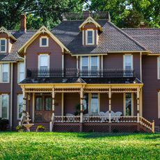
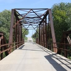
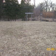
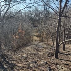
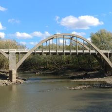
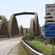
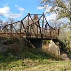
Miami County is an administrative county in eastern Kansas that encompasses rural farmland mixed with suburban residential areas centered around Paola. The landscape combines open grasslands with wooded sections typical of the transitional region between the Great Plains and the eastern United States.
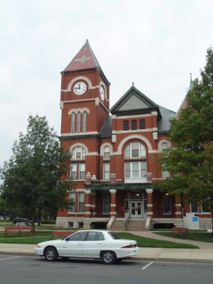
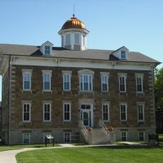
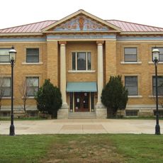
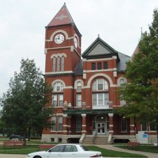
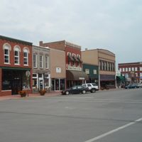
Miami County was established in 1855 as part of Kansas territorial expansion and settlement efforts. The courthouse, completed in 1898, became the focal point of civic life and remains the most recognizable structure in the county seat.
The five-member board of county commissioners holds weekly meetings in Paola, maintaining direct engagement with citizens through regular public sessions and community programs.
The county administration office is located across from the historic courthouse in Paola and provides access to public services and community information. Visitors can find answers to questions about local governance and county resources during regular business hours.
The courthouse was constructed with Carthage limestone and features a distinctive tower that rises above Paola's downtown. Inside, the original oak woodwork and interior details from the 1890s remain intact, giving the building its enduring character.
The community of curious travelers
AroundUs brings together thousands of curated places, local tips, and hidden gems, enriched daily by 60,000 contributors worldwide.