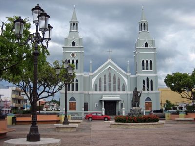
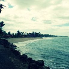
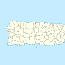
Aguada, municipality in Puerto Rico
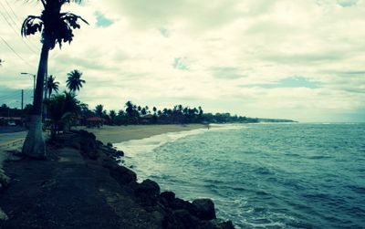
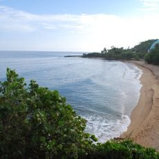
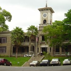
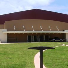
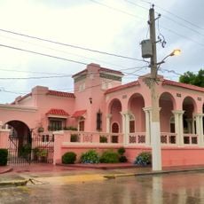
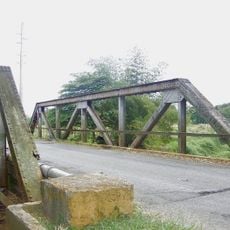
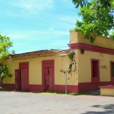
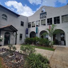
Aguada is a municipality in northwestern Puerto Rico, located along the Atlantic coast and made up of several neighborhoods called barrios. The territory covers coastal areas, residential zones, and farmland that extends toward the inland hills.
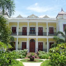
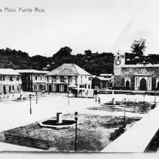
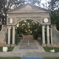
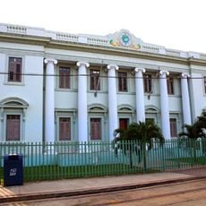
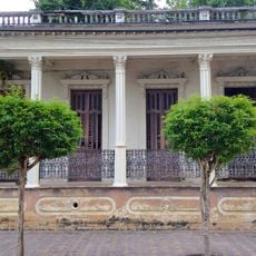
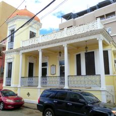
Aguada was formally established in the 17th century and was one of the first Spanish settlements on the island, valued for its freshwater sources that supplied passing ships. Over time, it grew into a farming community, with sugarcane and later coconuts shaping how the land was used.
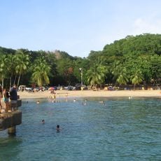
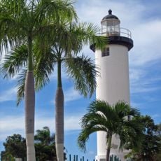
Aguada is nicknamed La Ciudad del Coco, or the City of the Coconut, because coconut farming has long been central to local life. You can still see coconut palms across the landscape and find coconut-based foods at local markets and roadside stands.
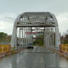
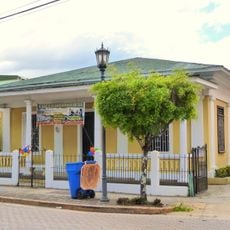
The neighborhoods within the municipality are spread out, so having a vehicle makes it much easier to move between the coast, the town center, and the inland areas. Some roads in rural parts have limited lighting, so daytime travel is a safer choice for those who are not familiar with the area.
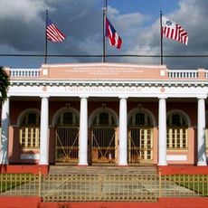
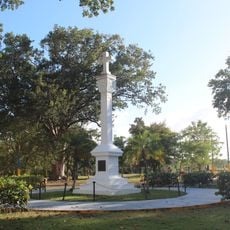
Aguada is one of several places in Puerto Rico that claim to be the spot where Christopher Columbus landed during his second voyage in 1493, though no definitive proof has ever settled the debate. This claim has given the town a notable place in local memory, even as nearby municipalities make the same argument.
The community of curious travelers
AroundUs brings together thousands of curated places, local tips, and hidden gems, enriched daily by 60,000 contributors worldwide.