Enable Location

We need your location to show you interesting places around you

Discover nearby places

Find interesting locations and hidden gems around you

Precise directions

Get accurate directions and distances to places

Your location is never shared with other users. It's only used when you tap the location button.

Montgomery County

Log in to your account

Start exploring — it's free

Trusted by 62,169 travelers worldwide

Continue with Google
Continue with Apple
or

We will send you a code to connect

By continuing, you accept our Terms and Conditions and our Privacy Policy

Check your inbox

We've sent a pincode in your inbox. Please enter the code below.

Montgomery County, Administrative county in central Illinois, US.

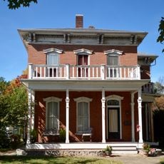
Montgomery County is an administrative division in central Illinois encompassing numerous small towns connected by Interstate 55 and various state highways. The area spreads across agricultural lands with Hillsboro serving as its county seat.

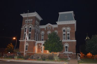
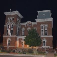
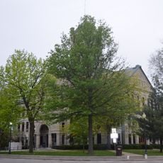
The county was established in 1821 and grew from rural settlements into an organized administrative region. Hillsboro became its central administrative hub and has remained the seat of government operations.

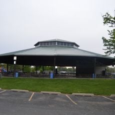
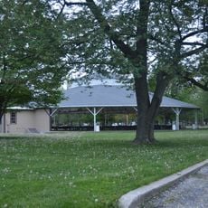
The county maintains agricultural traditions through seasonal farming events and community gatherings that connect residents across multiple small towns.

Visitors and residents can access government services like permits and licenses at the county offices in Hillsboro. The network of highways and local roads provides several routes for exploring the different communities throughout the region.

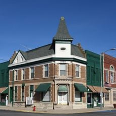
The county territory includes sections of the former U.S. Route 66, the historic road that connected travelers across generations. This corridor remains a notable part of the region's past.

The community of curious travelers

AroundUs brings together thousands of curated places, local tips, and hidden gems, enriched daily by 60,000 contributors worldwide.

Start exploring
Location
Inception
1821
Capital city
Hillsboro
Shares border with
Sangamon County, Bond County, Christian County, Shelby County, Fayette County, Madison County, Macoupin County
GPS coordinates
39.23000,-89.48000
Latest update
December 7, 2025 19:29
Around this place
Historic Route 66
United States of America

Historic Route 66

35.9 km
Brown Shoe Company Factory
United States of America

Brown Shoe Company Factory

16.3 km
Soulsby Service Station
United States of America

Soulsby Service Station

28.3 km
Greenville Public Library
United States of America

Greenville Public Library

38.5 km
Little Brick House
United States of America

Little Brick House

43.8 km
John C. Anderson House
United States of America

John C. Anderson House

35.7 km
Louis Jehle House
United States of America

Louis Jehle House

38.8 km
Ripson Bridge
United States of America

Ripson Bridge

30.8 km
First Presbyterian Church
United States of America

First Presbyterian Church

43.8 km
Carlinville Historic District
United States of America

Carlinville Historic District

34.2 km
Litchfield Public Library
United States of America

Litchfield Public Library

16.2 km
Taylorville Chautauqua Auditorium
United States of America

Taylorville Chautauqua Auditorium

37.9 km
Montgomery County Courthouse
United States of America

Montgomery County Courthouse

7.8 km
Samuel Moody Grubbs House
United States of America

Samuel Moody Grubbs House

15.5 km
Illinois State Bank Building
United States of America

Illinois State Bank Building

49.2 km
Taylorville Courthouse Square Historic District
United States of America

Taylorville Courthouse Square Historic District

38.8 km
George Blackman House
United States of America

George Blackman House

8.6 km
Freeman-Brewer-Sawyer House
United States of America

Freeman-Brewer-Sawyer House

8.3 km
Manske-Niemann Farm
United States of America

Manske-Niemann Farm

20.4 km
Litchfield Elks Lodge No. 654
United States of America

Litchfield Elks Lodge No. 654

16.1 km
Carlinville Chapter House
United States of America

Carlinville Chapter House

34.9 km
Hayward-Hill House
United States of America

Hayward-Hill House

8.2 km
American Farm Heritage Museum
United States of America

American Farm Heritage Museum

40.7 km
Macoupin County Historical Society Museum
United States of America

Macoupin County Historical Society Museum

35.7 km
Kitchell Park
United States of America

Kitchell Park

38.3 km
Litchfield Museum and Route 66 Welcome Center
United States of America

Litchfield Museum and Route 66 Welcome Center

17.1 km
Sky View Drive-In
United States of America

Sky View Drive-In

16.7 km
Kaskasia Dragon
United States of America

Kaskasia Dragon

42.2 km
Show the full map
« Montgomery County - Administrative county in central Illinois, US » is provided by Around Us (aroundus.com). Images and texts are derived from Wikimedia project under a Creative Commons license. You are allowed to copy, distribute, and modify copies of this page, under the conditions set by the license, as long as this note is clearly visible.

Discover hidden gems everywhere you go!

From secret cafés to breathtaking viewpoints, skip the crowded tourist spots and find places that match your style. Our app makes it easy with voice search, smart filtering, route optimization, and insider tips from travelers worldwide. Download now for the complete mobile experience.

Around Us App Screenshot

A unique approach to discovering new places

Le Figaro

All the places worth exploring

France Info

A tailor-made excursion in just a few clicks

20 Minutes

Around Us
Travel Guide & Maps
Download

Send to your phone

QR Code
1

Open the camera app on your mobile.

2

Point at the QR code with your camera. A notification will appear.

3

Tap the notification to open the link.