Enable Location

We need your location to show you interesting places around you

Discover nearby places

Find interesting locations and hidden gems around you

Precise directions

Get accurate directions and distances to places

Your location is never shared with other users. It's only used when you tap the location button.

Carroll County

Log in to your account

Start exploring — it's free

Trusted by 62,169 travelers worldwide

Continue with Google
Continue with Apple
or

We will send you a code to connect

By continuing, you accept our Terms and Conditions and our Privacy Policy

Check your inbox

We've sent a pincode in your inbox. Please enter the code below.

Carroll County, County administrative division in northwestern Illinois, United States

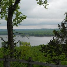
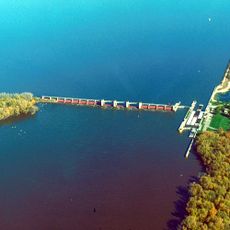
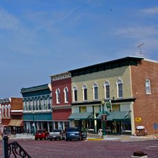
Carroll County is an administrative division in northwestern Illinois encompassing multiple townships situated between the Mississippi River and Rock River valleys. The seat of government is Mount Carroll, which serves as the administrative center.

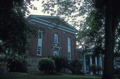
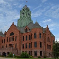
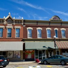
The county was established in 1839 with Mount Carroll chosen as its administrative center for government operations. This designation made Mount Carroll the core of local governance.

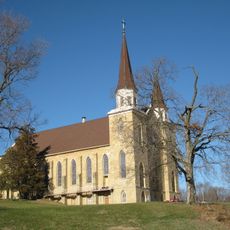
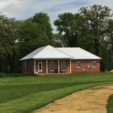
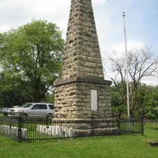
Residents gather throughout the year for county fairs and community events where farming and local traditions play a central role. These gatherings shape the social fabric of the area.

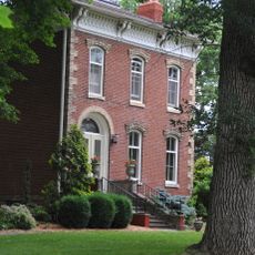
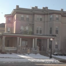
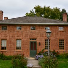
The county seat of Mount Carroll houses the administrative building where permits, licenses, and official documents are processed Monday through Friday. This is the central location for all official matters.

Part of the territory includes Mississippi Palisades State Park featuring distinctive limestone cliffs along the river. These natural formations mark the eastern landscape of the county.

The community of curious travelers

AroundUs brings together thousands of curated places, local tips, and hidden gems, enriched daily by 60,000 contributors worldwide.

Start exploring
Location
Inception
1839
Capital city
Mount Carroll
Shares border with
Stephenson County, Whiteside County, Ogle County, Jackson County, Clinton County, Jo Daviess County
GPS coordinates
42.06000,-89.92000
Latest update
December 7, 2025 19:29
Around this place
Mississippi Palisades State Park
United States of America

Mississippi Palisades State Park

21.6 km
Lock and Dam No. 13
United States of America

Lock and Dam No. 13

26.6 km
Morrison-Rockwood State Park
United States of America

Morrison-Rockwood State Park

23.8 km
Dale Gardner Veterans Memorial Bridge
United States of America

Dale Gardner Veterans Memorial Bridge

20.5 km
St. Irenaeus Catholic Church
United States of America

St. Irenaeus Catholic Church

29.4 km
Mark N. Norris Bridge
United States of America

Mark N. Norris Bridge

30.2 km
Sabula Rail Bridge
United States of America

Sabula Rail Bridge

20.3 km
St. Boniface Church
United States of America

St. Boniface Church

29.9 km
Clinton County Courthouse
United States of America

Clinton County Courthouse

32.2 km
United States of America

Whiteside County Courthouse

28 km
Mount Carroll Historic District
United States of America

Mount Carroll Historic District

6.1 km
Caroline Mark Home
United States of America

Caroline Mark Home

6.4 km
Cherry Bank
United States of America

Cherry Bank

31.5 km
Clinton Area Showboat Theatre
United States of America

Clinton Area Showboat Theatre

32.2 km
De Immigrant
United States of America

De Immigrant

29.7 km
Malvern Roller Mill
United States of America

Malvern Roller Mill

22.1 km
Carroll County Courthouse
United States of America

Carroll County Courthouse

6.6 km
Lafayette Lamb House
United States of America

Lafayette Lamb House

22.3 km
Jeremiah Wood House
United States of America

Jeremiah Wood House

20.7 km
John S. Dominy House
United States of America

John S. Dominy House

20.9 km
Martin House
United States of America

Martin House

29.3 km
Nathaniel Halderman House
United States of America

Nathaniel Halderman House

6 km
Joseph Steffens House
United States of America

Joseph Steffens House

19.7 km
Charles Franks House
United States of America

Charles Franks House

18.4 km
Morrison Main Street Historic District
United States of America

Morrison Main Street Historic District

28.2 km
Sawmill Museum
United States of America

Sawmill Museum

29.9 km
Kellogg's Grove
United States of America

Kellogg's Grove

26.4 km
Morrison Covered Bridge 13-98-B
United States of America

Morrison Covered Bridge 13-98-B

27.2 km
Show the full map
« Carroll County - County administrative division in northwestern Illinois, United States » is provided by Around Us (aroundus.com). Images and texts are derived from Wikimedia project under a Creative Commons license. You are allowed to copy, distribute, and modify copies of this page, under the conditions set by the license, as long as this note is clearly visible.

Discover hidden gems everywhere you go!

From secret cafés to breathtaking viewpoints, skip the crowded tourist spots and find places that match your style. Our app makes it easy with voice search, smart filtering, route optimization, and insider tips from travelers worldwide. Download now for the complete mobile experience.

Around Us App Screenshot

A unique approach to discovering new places

Le Figaro

All the places worth exploring

France Info

A tailor-made excursion in just a few clicks

20 Minutes

Around Us
Travel Guide & Maps
Download

Send to your phone

QR Code
1

Open the camera app on your mobile.

2

Point at the QR code with your camera. A notification will appear.

3

Tap the notification to open the link.