Enable Location

We need your location to show you interesting places around you

Discover nearby places

Find interesting locations and hidden gems around you

Precise directions

Get accurate directions and distances to places

Your location is never shared with other users. It's only used when you tap the location button.

Alleghany County

Log in to your account

Save your favorite places
Create custom travel routes
Rate and review places
Access the full interactive map
Continue with Google
Continue with Apple
Continue with email
By continuing, you accept our Terms and Conditions and our Privacy Policy
Create an account
Add to collection
Map
Suggest a change
Share

Alleghany County, County in western Virginia, US

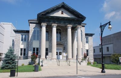
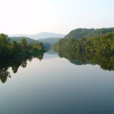
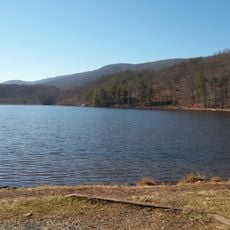
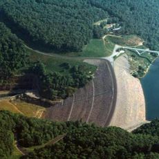
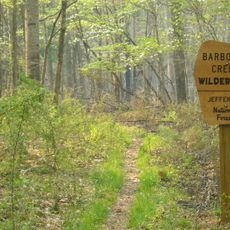
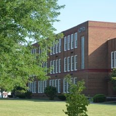
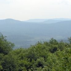
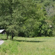
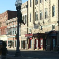
Alleghany County is located in western Virginia and covers mountainous terrain with rivers and valleys. The county functions as an administrative division with Covington serving as its primary urban center for services and lodging.

The county was formed in 1822 from parts of Bath County, Botetourt County, and Monroe County as a new administrative region. During the Civil War, the area contributed resources to the southern war effort.

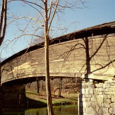
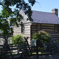
The county remains connected to mountain traditions through local celebrations and music that reflect the heritage of Appalachian communities living here.

The county is accessible via Interstate 64, making it easy to reach by car. Fall is an excellent time to visit when the landscape displays seasonal colors and the weather remains mild.

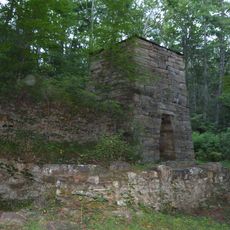
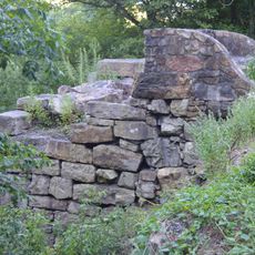
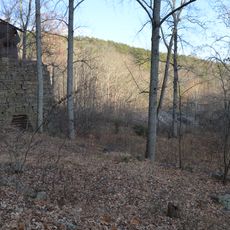
Iron from Longdale Furnace, located here, was used to build the CSS Virginia, a Confederate warship. This connection reveals the county's role in the region's wartime manufacturing during the 1800s.

Location: Virginia

Inception: 1822

Capital city: Covington

Shares border with: Bath County, Rockbridge County, Botetourt County, Craig County, Monroe County, Greenbrier County, Covington

Website: http://co.alleghany.va.us

GPS coordinates: 37.78000,-80.01000

Latest update: December 22, 2025 13:08

Photos
Around this place
James River
United States of America

James River

20.6 km
Douthat State Park
United States of America

Douthat State Park

21.8 km
Humpback Covered Bridge
United States of America

Humpback Covered Bridge

4 km
Gathright Dam
United States of America

Gathright Dam

19.6 km
Barbours Creek Wilderness
United States of America

Barbours Creek Wilderness

21.1 km
United States of America

Rich Hole Wilderness

34.2 km
United States of America

Kate's Mountain

25.7 km
United States of America

Rough Mountain Wilderness

31.3 km
Roaring Run Furnace
United States of America

Roaring Run Furnace

13 km
United States of America

Johnsons Creek Natural Area Preserve

8.7 km
The Yard
United States of America

The Yard

18.9 km
Covington High School
United States of America

Covington High School

1.7 km
Big Draft Wilderness
United States of America

Big Draft Wilderness

27.4 km
Phoenix Bridge
United States of America

Phoenix Bridge

21.5 km
Clifton Furnace
United States of America

Clifton Furnace

19 km
Lynnside Historic District
United States of America

Lynnside Historic District

27.2 km
Persinger House
United States of America

Persinger House

8.2 km
Rosedale Historic District
United States of America

Rosedale Historic District

7.7 km
Jefferson School
United States of America

Jefferson School

17.3 km
Wood Hall
United States of America

Wood Hall

6.8 km
Clifton Forge Commercial Historic District
United States of America

Clifton Forge Commercial Historic District

16.7 km
Callie Furnace
United States of America

Callie Furnace

16.4 km
United States of America

Barbours Creek-Shawvers Run Cluster

20.6 km
Mustoe House
United States of America

Mustoe House

18.9 km
Fudge House
United States of America

Fudge House

1.5 km
Clifton Forge Residential Historic District
United States of America

Clifton Forge Residential Historic District

16.8 km
United States of America

Blue Bend Forest Camp

27.6 km
Fairview
United States of America

Fairview

18.3 km
Show the full map
Reviews

Visited this place? Tap the stars to rate it and share your experience / photos with the community! Try now! You can cancel it anytime.

Administrative divisions
« Alleghany County - County in western Virginia, US » is provided by Around Us (aroundus.com). Images and texts are derived from Wikimedia project under a Creative Commons license. You are allowed to copy, distribute, and modify copies of this page, under the conditions set by the license, as long as this note is clearly visible.

Discover hidden gems everywhere you go!

From secret cafés to breathtaking viewpoints, skip the crowded tourist spots and find places that match your style. Our app makes it easy with voice search, smart filtering, route optimization, and insider tips from travelers worldwide. Download now for the complete mobile experience.

Around Us App Screenshot

A unique approach to discovering new places

Le Figaro

All the places worth exploring

France Info

A tailor-made excursion in just a few clicks

20 Minutes