New Madrid County

Log in to your account

AroundUs is a community-driven map of interesting places, built by curious explorers like you. It grows with every review, story, and photo you share.
Connect to save your favorite spots, contribute locations, and create personalized routes.
By continuing, you accept our Terms and Conditions and our Privacy Policy
Add to collection
Map
Suggest a change
Share

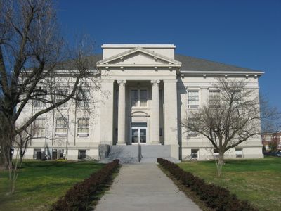
New Madrid County, County in Missouri, United States.

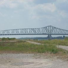
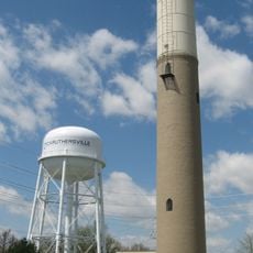
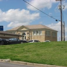
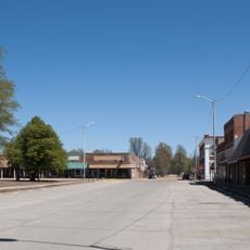
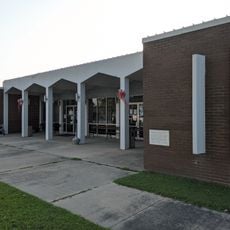
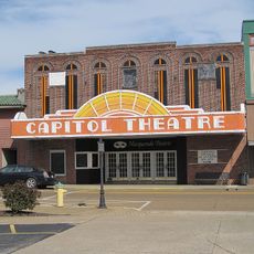
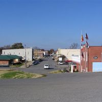
New Madrid County sits in southeastern Missouri, bordering Tennessee and Kentucky. The county includes several towns with New Madrid serving as the county seat.

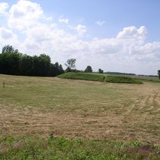
The county was established in 1812 and faced severe earthquakes that shifted the Mississippi River's course. These quakes rank among the most powerful ever recorded in North America.

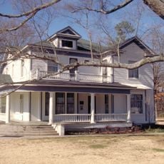
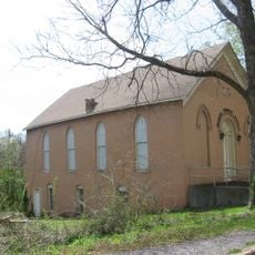
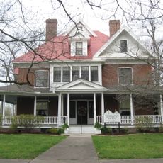
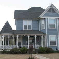
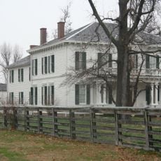
The name comes from Madrid, Spain's capital, reflecting the Spanish and French settlers who shaped this territory centuries ago. You can see this heritage in the local place names and the character of some communities here.

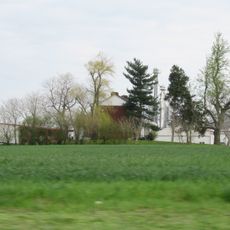
The county is easy to reach by car and has several small towns spread throughout. Plan to spend time visiting the different communities and exploring the surrounding area.

Beneath the county lies the New Madrid Fault System, one of the most seismically active zones in North America east of the Rocky Mountains. This geological feature makes the area an important research site for earthquake scientists.

Location: Missouri

Inception: 1812

Capital city: New Madrid

Shares border with: Scott County, Pemiscot County, Mississippi County, Fulton County, Lake County, Stoddard County, Dunklin County

Website: http://new-madrid.mo.us/116/New-Madrid-County

GPS coordinates: 36.59000,-89.66000

Latest update: December 7, 2025 19:27

Around this place
Show the full map
Reelfoot Lake
United States of America

Reelfoot Lake

34.1 km
Reelfoot Lake State Park
United States of America

Reelfoot Lake State Park

33.3 km
Caruthersville Bridge
United States of America

Caruthersville Bridge

53 km
Columbus-Belmont State Park
United States of America

Columbus-Belmont State Park

53.1 km
Big Oak Tree State Park
United States of America

Big Oak Tree State Park

30.5 km
Pfeiffer House and Carriage House
United States of America

Pfeiffer House and Carriage House

53.5 km
Towosahgy State Historic Site
United States of America

Towosahgy State Historic Site

39.6 km
Murphy Mound Archeological Site
United States of America

Murphy Mound Archeological Site

48.8 km
Morris State Park
United States of America

Morris State Park

34.6 km
Confederate Memorial Gateway in Hickman
United States of America

Confederate Memorial Gateway in Hickman

43.2 km
Stoddard County Courthouse
United States of America

Stoddard County Courthouse

40.6 km
Thomas Chapel C.M.E. Church
United States of America

Thomas Chapel C.M.E. Church

42.1 km
Obion County Courthouse
United States of America

Obion County Courthouse

56.9 km
Caruthersville Water Tower
United States of America

Caruthersville Water Tower

44 km
Jacob Swank House
United States of America

Jacob Swank House

45.1 km
Scott County Courthouse
United States of America

Scott County Courthouse

57 km
Charles and Bettie Birthright House
United States of America

Charles and Bettie Birthright House

31.6 km
Moore House
United States of America

Moore House

46.2 km
Houser House
United States of America

Houser House

55.7 km
Sikeston St. Louis, Iron Mountain and Southern Railway Depot
United States of America

Sikeston St. Louis, Iron Mountain and Southern Railway Depot

32.5 km
Carnegie Library
United States of America

Carnegie Library

42.4 km
Piggott National Guard Armory
United States of America

Piggott National Guard Armory

52 km
Caldwell-Hopson House
United States of America

Caldwell-Hopson House

28.7 km
Reelfoot Lake State Park Visitor Center
United States of America

Reelfoot Lake State Park Visitor Center

32.4 km
Piggott Commercial Historic District
United States of America

Piggott Commercial Historic District

52.8 km
Clay County Courthouse, Eastern District
United States of America

Clay County Courthouse, Eastern District

53 km
Hunter-Dawson State Historic Site
United States of America

Hunter-Dawson State Historic Site

12.2 km
Masquerade Theatre
United States of America

Masquerade Theatre

57 km
Show the full map

Reviews

Visited this place? Tap the stars to rate it and share your experience / photos with the community! Try now! You can cancel it anytime.

Administrative divisions
« New Madrid County - County in Missouri, United States » is provided by Around Us (aroundus.com). Images and texts are derived from Wikimedia project under a Creative Commons license. You are allowed to copy, distribute, and modify copies of this page, under the conditions set by the license, as long as this note is clearly visible.

Discover hidden gems everywhere you go!

From secret cafés to breathtaking viewpoints, skip the crowded tourist spots and find places that match your style. Our app makes it easy with voice search, smart filtering, route optimization, and insider tips from travelers worldwide. Download now for the complete mobile experience.

Around Us App Screenshot

A unique approach to discovering new places

Le Figaro

All the places worth exploring

France Info

A tailor-made excursion in just a few clicks

20 Minutes