Enable Location

We need your location to show you interesting places around you

Discover nearby places

Find interesting locations and hidden gems around you

Precise directions

Get accurate directions and distances to places

Your location is never shared with other users. It's only used when you tap the location button.

Newton County

Log in to your account

Start exploring — it's free

Trusted by 61,978 travelers worldwide

Continue with Google
Continue with Apple
or

We will send you a code to connect

By continuing, you accept our Terms and Conditions and our Privacy Policy

Check your inbox

We've sent a pincode in your inbox. Please enter the code below.

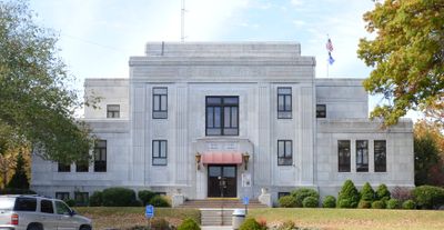
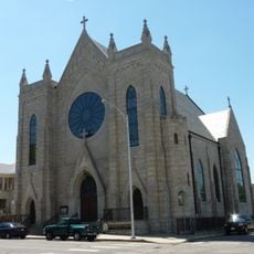
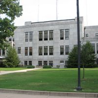
Newton County, County in southwestern Missouri, US

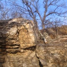
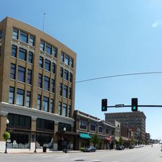
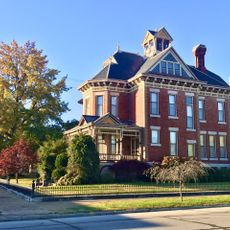
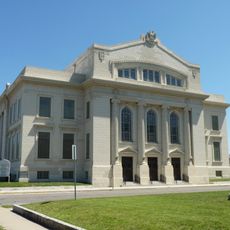
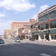
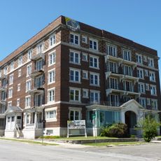
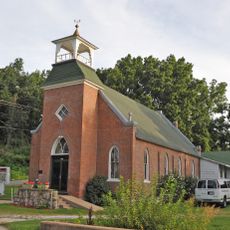
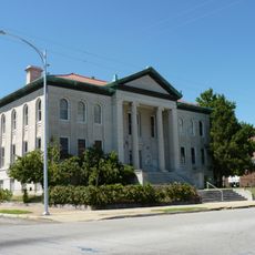
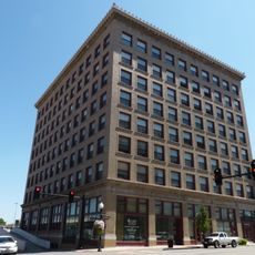
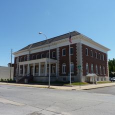
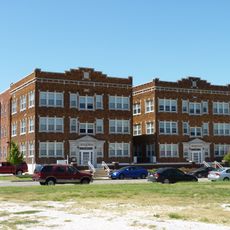
Newton County spans southwestern Missouri with several small towns and rural areas, centered around Neosho as the county seat. The landscape features forests, farmland, and rolling terrain, with public school systems serving communities throughout the region.

The county was officially established in 1838 and named after a hero from the American Revolutionary War. This naming reflects how early settlers honored military figures who shaped the nation's founding.

The county is named after a soldier from the Revolutionary War, honoring his memory through generations. Local communities maintain this historical connection through landmarks and celebrations that reflect their roots.

The county is connected by Interstate 44 and U.S. Route 60, making it accessible for travelers exploring the region. Visitors should expect travel time between attractions since communities are spread across the rural landscape.

The county is home to the birthplace of a renowned scientist and educator whose research changed agricultural science globally. This national monument offers insight into the early life of someone who overcame significant obstacles to achieve prominence.

The community of curious travelers

AroundUs brings together thousands of curated places, local tips, and hidden gems, enriched daily by 60,000 contributors worldwide.

Start exploring
Location
Inception
1838
Capital city
Neosho
Shares border with
Jasper County, McDonald County, Lawrence County, Barry County, Ottawa County, Cherokee County
GPS coordinates
36.91000,-94.33000
Latest update
December 7, 2025 19:25
Around this place
Ghost light
United States of America

Ghost light

28.1 km
Bonnie & Clyde Garage Apartment
United States of America

Bonnie & Clyde Garage Apartment

22.9 km
George Washington Carver National Monument
United States of America

George Washington Carver National Monument

8.8 km
St. Peter the Apostle Catholic Church and Rectory
United States of America

St. Peter the Apostle Catholic Church and Rectory

24.2 km
United States of America

Jolly Mill

23 km
United States of America

First Battle of Newtonia Historic District

13.1 km
Wildcat Glades Conservation and Audubon Center
United States of America

Wildcat Glades Conservation and Audubon Center

21.3 km
Fifth and Main Historic District
United States of America

Fifth and Main Historic District

25.8 km
Elijah Thomas Webb Residence
United States of America

Elijah Thomas Webb Residence

28.9 km
Scottish Rite Cathedral
United States of America

Scottish Rite Cathedral

25.7 km
Joplin Downtown Historic District
United States of America

Joplin Downtown Historic District

25.5 km
Downtown Webb City Historic District
United States of America

Downtown Webb City Historic District

28.9 km
Joplin Supply Company
United States of America

Joplin Supply Company

25.8 km
Fox Theatre
United States of America

Fox Theatre

25.7 km
Olivia Apartments
United States of America

Olivia Apartments

26 km
Second Baptist Church
United States of America

Second Baptist Church

5.5 km
Joplin Carnegie Library
United States of America

Joplin Carnegie Library

25.3 km
St. Louis and San Francisco Railroad Building
United States of America

St. Louis and San Francisco Railroad Building

25.5 km
Elks Club Lodge No. 501
United States of America

Elks Club Lodge No. 501

25.8 km
Ridgway Apartments
United States of America

Ridgway Apartments

26 km
Gentry Apartments
United States of America

Gentry Apartments

25.9 km
South Main Street Historic District
United States of America

South Main Street Historic District

25.8 km
Main and Eighth Streets Historic District
United States of America

Main and Eighth Streets Historic District

25.1 km
Rains Brothers Building
United States of America

Rains Brothers Building

25 km
Neosho Wholesale Grocery Company
United States of America

Neosho Wholesale Grocery Company

5.4 km
Lentz-Carter Merchandise Store
United States of America

Lentz-Carter Merchandise Store

20.6 km
Everett J. Ritchie Tri-State Mineral Museum
United States of America

Everett J. Ritchie Tri-State Mineral Museum

27.9 km
Supertam On 66 Ice Cream Parlor And Superman Museum
United States of America

Supertam On 66 Ice Cream Parlor And Superman Museum

28.5 km
Show the full map
Administrative divisions
« Newton County - County in southwestern Missouri, US » is provided by Around Us (aroundus.com). Images and texts are derived from Wikimedia project under a Creative Commons license. You are allowed to copy, distribute, and modify copies of this page, under the conditions set by the license, as long as this note is clearly visible.

Discover hidden gems everywhere you go!

From secret cafés to breathtaking viewpoints, skip the crowded tourist spots and find places that match your style. Our app makes it easy with voice search, smart filtering, route optimization, and insider tips from travelers worldwide. Download now for the complete mobile experience.

Around Us App Screenshot

A unique approach to discovering new places

Le Figaro

All the places worth exploring

France Info

A tailor-made excursion in just a few clicks

20 Minutes

Around Us
Travel Guide & Maps
Download

Send to your phone

QR Code
1

Open the camera app on your mobile.

2

Point at the QR code with your camera. A notification will appear.

3

Tap the notification to open the link.