Enable Location

We need your location to show you interesting places around you

Discover nearby places

Find interesting locations and hidden gems around you

Precise directions

Get accurate directions and distances to places

Your location is never shared with other users. It's only used when you tap the location button.

McDonald County

Log in to your account

Start exploring — it's free

Trusted by 61,320 travelers worldwide

Continue with Google
Continue with Apple
or

We will send you a code to connect

By continuing, you accept our Terms and Conditions and our Privacy Policy

Check your inbox

We've sent a pincode in your inbox. Please enter the code below.

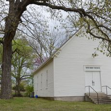
McDonald County, Administrative division in southwestern Missouri, United States.

Description

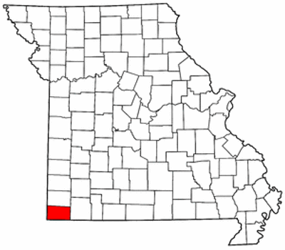
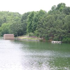
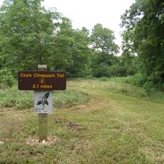
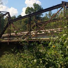
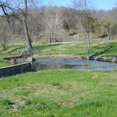
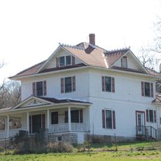
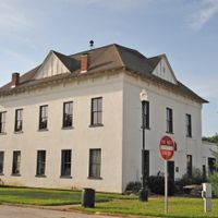
McDonald County is an administrative division in southwestern Missouri covering an area of about 540 square miles. The region contains several communities including Anderson, Goodman, and Noel, with Pineville serving as the county seat.

History

The county was established in 1849 by the Missouri Legislature and named after Alexander McDonald, a soldier from the American Revolutionary War. Its creation reflected the westward expansion of the region during that era.

Culture

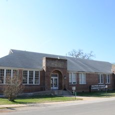
The McDonald County R-I School District emerged from the consolidation of several local educational institutions, starting with Pineville and Anderson districts.

Practical

The county government offers digital mapping services that allow residents and visitors to search for properties by owner name, address, or parcel identification number. These online tools make it easy to research property information throughout the region.

Did you know?

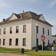
Behind the courthouse in Pineville, the county operates a recycling facility that serves the public year-round during daylight hours. This service demonstrates the area's commitment to environmental responsibility.

Location
Inception
1849
Capital city
Pineville
Shares border with
Newton County, Barry County, Benton County, Delaware County, Ottawa County
GPS coordinates
36.62000,-94.35000
Latest update
December 7, 2025 19:25

AroundUs brings together thousands of curated places, local tips, and hidden gems, enriched daily by 60,000 contributors worldwide. Discover all places nearby (Missouri).

Around this place
Mildred B. Cooper Memorial Chapel
United States of America

Mildred B. Cooper Memorial Chapel

19.4 km
Old Spanish Treasure Cave
United States of America

Old Spanish Treasure Cave

18.2 km
Wonderland Cave
United States of America

Wonderland Cave

23.5 km
Lake Windsor
United States of America

Lake Windsor

19.6 km
Big Sugar Creek State Park
United States of America

Big Sugar Creek State Park

5 km
Jacobs Cavern
United States of America

Jacobs Cavern

3.5 km
Old McDonald County Courthouse
United States of America

Old McDonald County Courthouse

4.2 km
Powell Bridge
United States of America

Powell Bridge

15 km
Bluff Dwellers Cave
United States of America

Bluff Dwellers Cave

16.6 km
Kindley House
United States of America

Kindley House

24 km
OKARMO Corner
United States of America

OKARMO Corner

27.5 km
New Home School and Church
United States of America

New Home School and Church

25.3 km
Wee Pine Knot
United States of America

Wee Pine Knot

17.8 km
Bella Vista Water Tank
United States of America

Bella Vista Water Tank

23.2 km
Shiloh House
United States of America

Shiloh House

18.5 km
Bolin Barn and Smokehouse
United States of America

Bolin Barn and Smokehouse

24.9 km
Sulphur Springs Park Reserve
United States of America

Sulphur Springs Park Reserve

17.9 km
Kansas City Southern Railway Caboose No. 383
United States of America

Kansas City Southern Railway Caboose No. 383

24 km
Banks House
United States of America

Banks House

20.9 km
Shady Grove School
United States of America

Shady Grove School

24.5 km
Adar House
United States of America

Adar House

18.1 km
Blackwell-Paisley Cabin
United States of America

Blackwell-Paisley Cabin

23.6 km
Sulphur Springs Old School Complex Historic District
United States of America

Sulphur Springs Old School Complex Historic District

18.7 km
Hagler-Cole Cabin
United States of America

Hagler-Cole Cabin

24.1 km
Deaton Cabin
United States of America

Deaton Cabin

23.6 km
Princedom Cabin
United States of America

Princedom Cabin

23.9 km
Jones House
United States of America

Jones House

18.4 km
Lentz-Carter Merchandise Store
United States of America

Lentz-Carter Merchandise Store

21 km
Show the full map
Administrative divisions
« McDonald County - Administrative division in southwestern Missouri, United States » is provided by Around Us (aroundus.com). Images and texts are derived from Wikimedia project under a Creative Commons license. You are allowed to copy, distribute, and modify copies of this page, under the conditions set by the license, as long as this note is clearly visible.

Discover hidden gems everywhere you go!

From secret cafés to breathtaking viewpoints, skip the crowded tourist spots and find places that match your style. Our app makes it easy with voice search, smart filtering, route optimization, and insider tips from travelers worldwide. Download now for the complete mobile experience.

Around Us App Screenshot

A unique approach to discovering new places

Le Figaro

All the places worth exploring

France Info

A tailor-made excursion in just a few clicks

20 Minutes

Around Us
Travel Guide & Maps
Download

Send to your phone

QR Code
1

Open the camera app on your mobile.

2

Point at the QR code with your camera. A notification will appear.

3

Tap the notification to open the link.