Enable Location

We need your location to show you interesting places around you

Discover nearby places

Find interesting locations and hidden gems around you

Precise directions

Get accurate directions and distances to places

Your location is never shared with other users. It's only used when you tap the location button.

Highland County

Log in to your account

Start exploring — it's free

Trusted by 61,440 travelers worldwide

Continue with Google
Continue with Apple
or

We will send you a code to connect

By continuing, you accept our Terms and Conditions and our Privacy Policy

Check your inbox

We've sent a pincode in your inbox. Please enter the code below.

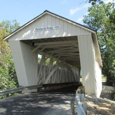
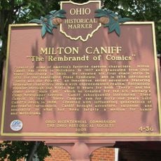
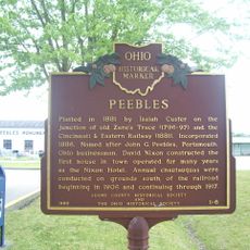
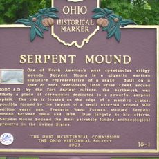
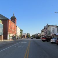
Highland County, Administrative county in southeastern Ohio, US

Description

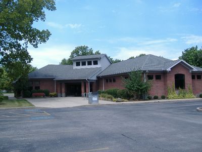
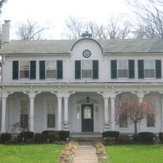
Highland County is an administrative county in southeastern Ohio that spans rural territory between the Scioto and Little Miami Rivers. Hillsboro serves as the county seat and main hub for the region.

History

Ohio established this county on May 1, 1805, by combining territories from Ross, Adams, and Clermont counties into a new administrative division. This reorganization reflected the state's expansion and development during the early 19th century.

Culture

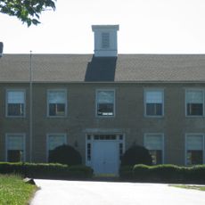
Five school districts operate across Highland County, providing education through Greenfield, Hillsboro, Fairfield, Bright Local, and Lynchburg-Clay institutions.

Practical

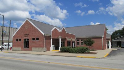
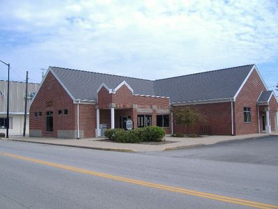
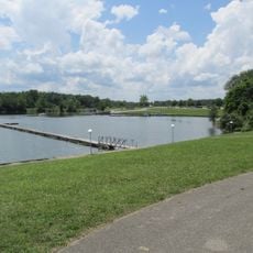
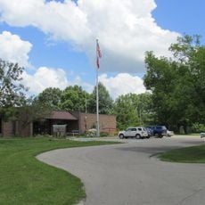
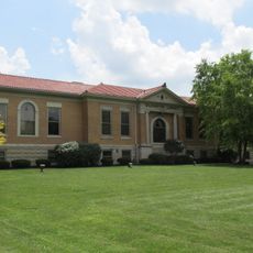
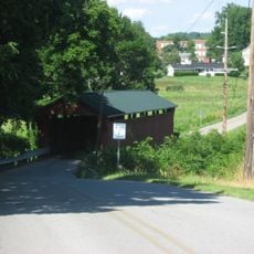
The county operates the Highland County District Library system with five branches located in Hillsboro, Greenfield, Leesburg, Lynchburg, and Rocky Fork. Visitors also have access to two state parks with trails and fishing opportunities across the area.

Did you know?

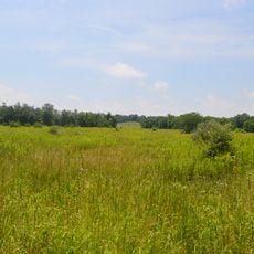
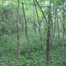
The area is home to Rocky Fork State Park and Paint Creek State Park, two protected natural spaces that draw outdoor enthusiasts. These parks provide a range of recreational opportunities and showcase the region's diverse natural features.

Location
Inception
May 1, 1805
Capital city
Hillsboro
Shares border with
Adams County, Pike County, Ross County, Fayette County, Clinton County, Brown County
GPS coordinates
39.18000,-83.60000
Latest update
December 7, 2025 19:22

AroundUs brings together thousands of curated places, local tips, and hidden gems, enriched daily by 60,000 contributors worldwide. Discover all places nearby (Ohio).

Around this place
Serpent Mound
United States of America

Serpent Mound

22.6 km
Serpent Mound crater
United States of America

Serpent Mound crater

23.8 km
Murphy Theatre
United States of America

Murphy Theatre

35.5 km
Rocky Fork State Park
United States of America

Rocky Fork State Park

11 km
Cowan Lake State Park
United States of America

Cowan Lake State Park

35.1 km
Paint Creek State Park
United States of America

Paint Creek State Park

20.2 km
United States of America

Pike Lake State Park

33 km
Cowan Lake
United States of America

Cowan Lake

34.5 km
Wilmington Public Library of Clinton County, Ohio
United States of America

Wilmington Public Library of Clinton County, Ohio

35.8 km
Serpent Mound State Memorial
United States of America

Serpent Mound State Memorial

22.6 km
Beam Farm Woodland Archaeological District
United States of America

Beam Farm Woodland Archaeological District

35.9 km
Rocky Fork Park Site
United States of America

Rocky Fork Park Site

7.7 km
Lynchburg Covered Bridge
United States of America

Lynchburg Covered Bridge

18.3 km
Highland County Courthouse
United States of America

Highland County Courthouse

2.7 km
Harshaville Covered Bridge
United States of America

Harshaville Covered Bridge

30.7 km
Williams Stadium
United States of America

Williams Stadium

34.6 km
South Salem Academy
United States of America

South Salem Academy

30.4 km
Samuel Smith House and Tannery
United States of America

Samuel Smith House and Tannery

27 km
South Salem Covered Bridge
United States of America

South Salem Covered Bridge

30 km
Cowan Creek Circular Enclosure
United States of America

Cowan Creek Circular Enclosure

35.5 km
Doan House
United States of America

Doan House

34.7 km
Martinsville Road Covered Bridge
United States of America

Martinsville Road Covered Bridge

26.2 km
McCafferty Road Covered Bridge
United States of America

McCafferty Road Covered Bridge

34.2 km
Kim’s Classic Diner
United States of America

Kim’s Classic Diner

34.5 km
Milton Caniff
United States of America

Milton Caniff

3.2 km
Peebles
United States of America

Peebles

30.6 km
Serpent Mound
United States of America

Serpent Mound

22.8 km
Seip Earthworks
United States of America

Seip Earthworks

33.4 km
Show the full map
Administrative divisions
« Highland County - Administrative county in southeastern Ohio, US » is provided by Around Us (aroundus.com). Images and texts are derived from Wikimedia project under a Creative Commons license. You are allowed to copy, distribute, and modify copies of this page, under the conditions set by the license, as long as this note is clearly visible.

Discover hidden gems everywhere you go!

From secret cafés to breathtaking viewpoints, skip the crowded tourist spots and find places that match your style. Our app makes it easy with voice search, smart filtering, route optimization, and insider tips from travelers worldwide. Download now for the complete mobile experience.

Around Us App Screenshot

A unique approach to discovering new places

Le Figaro

All the places worth exploring

France Info

A tailor-made excursion in just a few clicks

20 Minutes

Around Us
Travel Guide & Maps
Download

Send to your phone

QR Code
1

Open the camera app on your mobile.

2

Point at the QR code with your camera. A notification will appear.

3

Tap the notification to open the link.