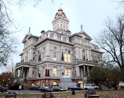
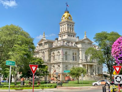
Licking County, Administrative county in central Ohio, US
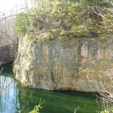
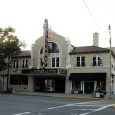
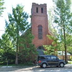
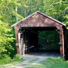
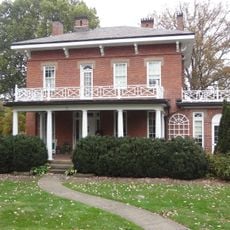
Licking County is an administrative county in central Ohio with Newark serving as its county seat. The area spans gently rolling terrain and contains numerous towns, villages, and populated communities.
The area was established on March 1, 1808 from portions of Fairfield County and named after the Licking River. Its name derives from the Delaware term W'li/'ik'/nk, reflecting the linguistic heritage tied to the region's original inhabitants.
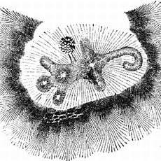
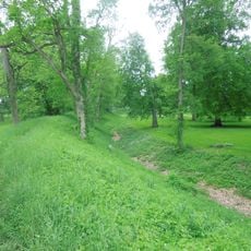
The Newark Earthworks within this area showcase Native American architectural skill through carefully shaped earthen geometric forms. These constructions reflect the knowledge and craftsmanship of the Delaware peoples who once lived in this landscape.
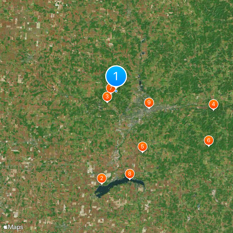
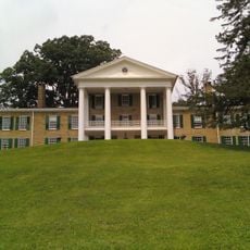
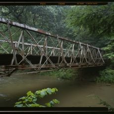
The region has a mixed economy with manufacturing and agriculture as main sectors, allowing visitors to explore both rural and industrial areas. The spread of communities makes it possible to experience different types of towns and landscapes in one location.
The area was once home to the Adena culture, which built these earthen structures many centuries ago. These archaeological sites offer insight into the knowledge and skills of people who lived here long before modern settlement.
Location: Ohio
Inception: March 1, 1808
Capital city: Newark
Reference: LIC
Shares border with: Knox County, Perry County, Fairfield County, Coshocton County, Muskingum County, Franklin County, Delaware County
Website: http://lcounty.com
GPS coordinates: 40.09000,-82.48000
Latest update: December 12, 2025 14:33
Buckeye Lake
19 km
Alligator Effigy Mound
2.9 km
Blackhand Gorge State Nature Preserve
20.1 km
Dawes Arboretum
13.5 km
Flint Ridge State Memorial
21.8 km
Bryn Du Mansion
1.2 km
Buckeye Lake State Park
18.1 km
Midland Theatre
7.5 km
Longaberger Basket Building
11.7 km
Don Edwards Park
9.1 km
St. Luke's Episcopal Church
4.2 km
Avery-Hunter House
4.1 km
Bethel Baptist Church
19.6 km
Hizey Covered Bridge
27.6 km
Newark Earthworks
6.8 km
National Heisey Glass Museum
7 km
Home Building Association Bank
7.5 km
Granville Historic District
4.2 km
Daweswood House Museum
13.3 km
Hudson Avenue Historic District
6.6 km
Pataskala Cinema
19.8 km
Falling Rock Camp Bridge
18 km
#2 Black Tee
3.3 km
#2 Red Tee
3.4 km
Practice Green
3.5 km
#3 Red Tee
3.5 km
#4 White
3.3 km
#6 White and Golf
3 kmVisited this place? Tap the stars to rate it and share your experience / photos with the community! Try now! You can cancel it anytime.
Discover hidden gems everywhere you go!
From secret cafés to breathtaking viewpoints, skip the crowded tourist spots and find places that match your style. Our app makes it easy with voice search, smart filtering, route optimization, and insider tips from travelers worldwide. Download now for the complete mobile experience.
A unique approach to discovering new places❞
— Le Figaro
All the places worth exploring❞
— France Info
A tailor-made excursion in just a few clicks❞
— 20 Minutes