Enable Location

We need your location to show you interesting places around you

Discover nearby places

Find interesting locations and hidden gems around you

Precise directions

Get accurate directions and distances to places

Your location is never shared with other users. It's only used when you tap the location button.

Gentry County

Log in to your account

Start exploring — it's free

Trusted by 61,976 travelers worldwide

Continue with Google
Continue with Apple
or

We will send you a code to connect

By continuing, you accept our Terms and Conditions and our Privacy Policy

Check your inbox

We've sent a pincode in your inbox. Please enter the code below.

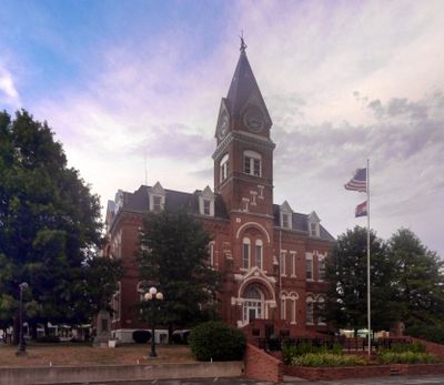
Gentry County, Administrative county in Missouri, United States

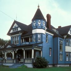
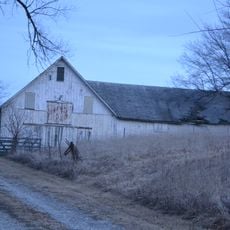
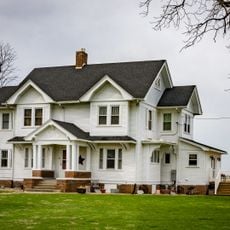
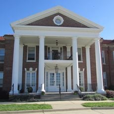
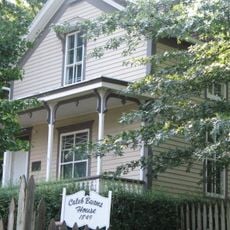
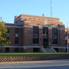
Gentry County is a rural county in northwestern Missouri characterized by farmland and gently rolling terrain. The region contains several small towns that serve as community centers for the surrounding agricultural areas.

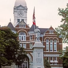
The county was established in 1841 and named after General Richard Gentry, a military officer from Boone County who died in the Seminole War. Early development was tied to agricultural expansion across the Midwest during the 19th century.

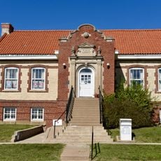
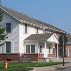
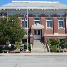
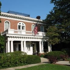
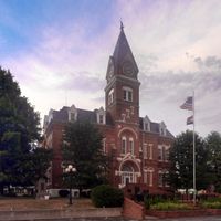
Residents of Gentry County maintain ties to farming traditions through annual agricultural fairs and community gatherings at the Albany Carnegie Public Library.

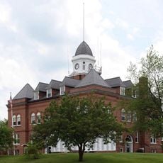
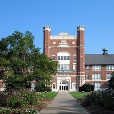
The county is served by several school districts including Albany R-III, King City R-I, and Stanberry R-II that support the communities throughout the area. Visitors should note this is a rural region where most facilities and services are concentrated in the smaller towns.

In 2010, local farmers secured a settlement regarding environmental concerns linked to large-scale hog production from a neighboring industrial operation. This event highlighted ongoing tensions between traditional farming and industrial agriculture in the area.

The community of curious travelers

AroundUs brings together thousands of curated places, local tips, and hidden gems, enriched daily by 60,000 contributors worldwide.

Start exploring
Location
Inception
February 12, 1841
Capital city
Albany
Shares border with
Worth County, DeKalb County, Harrison County, Daviess County, Nodaway County, Andrew County
GPS coordinates
40.22000,-94.41000
Latest update
December 10, 2025 15:57
Around this place
Adam-ondi-Ahman
United States of America

Adam-ondi-Ahman

45.3 km
Conception Abbey
United States of America

Conception Abbey

22.8 km
Bearcat Stadium
United States of America

Bearcat Stadium

42.9 km
Bedford Public Library
United States of America

Bedford Public Library

51.8 km
Missouri State Arboretum
United States of America

Missouri State Arboretum

42.9 km
A. Taylor Ray House
United States of America

A. Taylor Ray House

51.1 km
Nodaway County Historical Society Museum
United States of America

Nodaway County Historical Society Museum

42.2 km
Mozingo Lake Golf Course
United States of America

Mozingo Lake Golf Course

33.8 km
J. F. Roberts Octagonal Barn
United States of America

J. F. Roberts Octagonal Barn

33.5 km
Walnut Park Farm Historic District
United States of America

Walnut Park Farm Historic District

55.2 km
Daviess County Rotary Jail and Sheriff's Residence
United States of America

Daviess County Rotary Jail and Sheriff's Residence

50.9 km
Taylor County Courthouse
United States of America

Taylor County Courthouse

56.2 km
Andrew County Courthouse
United States of America

Andrew County Courthouse

47.3 km
Carnegie Library of Albany
United States of America

Carnegie Library of Albany

7.3 km
Nodaway County Courthouse
United States of America

Nodaway County Courthouse

41.8 km
St. Munchin Catholic Church
United States of America

St. Munchin Catholic Church

55.1 km
Daviess County Courthouse
United States of America

Daviess County Courthouse

51 km
Lee Shay Farmhouse
United States of America

Lee Shay Farmhouse

52 km
Worth County Courthouse
United States of America

Worth County Courthouse

29.6 km
Thomas Gaunt House
United States of America

Thomas Gaunt House

42.6 km
Bedford House
United States of America

Bedford House

56.2 km
Buchanan County Infirmary
United States of America

Buchanan County Infirmary

56.2 km
Gentry County Courthouse
United States of America

Gentry County Courthouse

7.1 km
Caleb Burns House
United States of America

Caleb Burns House

42.1 km
Bedford Commercial Historic District
United States of America

Bedford Commercial Historic District

56.2 km
DeKalb County Courthouse
United States of America

DeKalb County Courthouse

37 km
Middlefork Methodist Episcopal Church
United States of America

Middlefork Methodist Episcopal Church

42.6 km
Administration Building
United States of America

Administration Building

42.8 km
Show the full map
Administrative divisions
« Gentry County - Administrative county in Missouri, United States » is provided by Around Us (aroundus.com). Images and texts are derived from Wikimedia project under a Creative Commons license. You are allowed to copy, distribute, and modify copies of this page, under the conditions set by the license, as long as this note is clearly visible.

Discover hidden gems everywhere you go!

From secret cafés to breathtaking viewpoints, skip the crowded tourist spots and find places that match your style. Our app makes it easy with voice search, smart filtering, route optimization, and insider tips from travelers worldwide. Download now for the complete mobile experience.

Around Us App Screenshot

A unique approach to discovering new places

Le Figaro

All the places worth exploring

France Info

A tailor-made excursion in just a few clicks

20 Minutes

Around Us
Travel Guide & Maps
Download

Send to your phone

QR Code
1

Open the camera app on your mobile.

2

Point at the QR code with your camera. A notification will appear.

3

Tap the notification to open the link.