Enable Location

We need your location to show you interesting places around you

Discover nearby places

Find interesting locations and hidden gems around you

Precise directions

Get accurate directions and distances to places

Your location is never shared with other users. It's only used when you tap the location button.

Holt County

Log in to your account

Start exploring — it's free

Trusted by 63,458 travelers worldwide

Continue with Google
Continue with Apple
or

We will send you a code to connect

By continuing, you accept our Terms and Conditions and our Privacy Policy

Check your inbox

We've sent a pincode in your inbox. Please enter the code below.

Discussion Reviews 1 Photos
11k Popularity

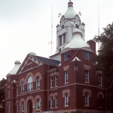
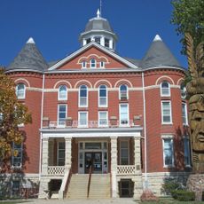
Holt County, Administrative county in northwestern Missouri, United States.

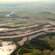
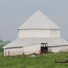
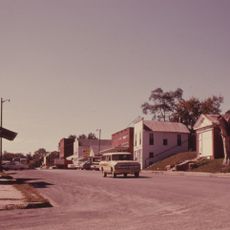
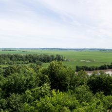
Holt County is an administrative county in northwestern Missouri, stretching across rolling hills and river valleys. The landscape consists mainly of farmland and natural waterways shaped by the Missouri River.

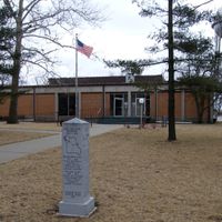
The county was established in 1841 during Missouri's westward expansion period. Its name honors a state legislator who played a role in the region's early settlement and development.

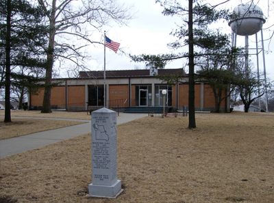
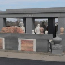
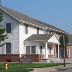
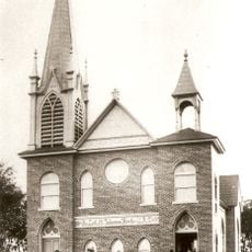
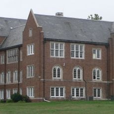
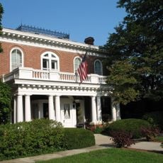
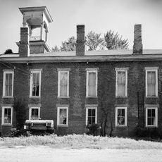
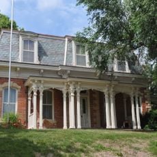
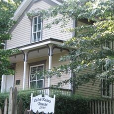
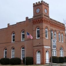
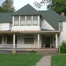
The Holt County Historical Society maintains research centers and museums in multiple locations, preserving documents and artifacts from the region's settlement period.

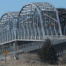
Interstate 29 runs through the county from north to south, providing road connections to larger nearby cities. The Missouri River offers additional opportunities for outdoor activities and exploration.

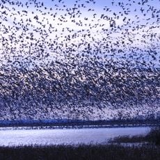
The Loess Bluffs National Wildlife Refuge provides a critical stopping point for thousands of migratory birds, particularly bald eagles during winter months. Visitors can observe these birds in their natural habitat during their seasonal travels.

The community of curious travelers

AroundUs brings together thousands of curated places, local tips, and hidden gems, enriched daily by 60,000 contributors worldwide.

Start exploring
Location
Inception
1841
Capital city
Oregon
Shares border with
Atchison County, Doniphan County, Nodaway County, Andrew County, Richardson County, Nemaha County
GPS coordinates
40.09000,-95.21000
Latest update
December 8, 2025 13:43
Around this place
Indian Cave State Park
United States of America

Indian Cave State Park

34.4 km
Loess Bluffs National Wildlife Refuge
United States of America

Loess Bluffs National Wildlife Refuge

2.7 km
Bearcat Stadium
United States of America

Bearcat Stadium

40 km
Big Lake State Park
United States of America

Big Lake State Park

11.4 km
Rulo Bridge
United States of America

Rulo Bridge

18.4 km
Terrible's St. Jo Frontier Casino
United States of America

Terrible's St. Jo Frontier Casino

44.4 km
Davis Memorial
United States of America

Davis Memorial

37.4 km
Nodaway County Historical Society Museum
United States of America

Nodaway County Historical Society Museum

40.1 km
St. John's Evangelical Lutheran Church
United States of America

St. John's Evangelical Lutheran Church

27.2 km
J. F. Roberts Octagonal Barn
United States of America

J. F. Roberts Octagonal Barn

39.7 km
Site No. RH00-062
United States of America

Site No. RH00-062

14.4 km
Doniphan County Courthouse Square Historic District
United States of America

Doniphan County Courthouse Square Historic District

35.4 km
Atchison County Memorial Building
United States of America

Atchison County Memorial Building

44.1 km
Rulo Rail Bridge
United States of America

Rulo Rail Bridge

18.4 km
Andrew County Courthouse
United States of America

Andrew County Courthouse

36.4 km
Rankin Hall
United States of America

Rankin Hall

42.4 km
Itha T. Krumme Memorial Arboretum
United States of America

Itha T. Krumme Memorial Arboretum

34.3 km
Doniphan County Courthouse
United States of America

Doniphan County Courthouse

35.4 km
Thomas Gaunt House
United States of America

Thomas Gaunt House

40.2 km
Irvin Hall
United States of America

Irvin Hall

26.1 km
White Cloud Historic District
United States of America

White Cloud Historic District

14.7 km
John Dickinson Dopf Mansion
United States of America

John Dickinson Dopf Mansion

44.4 km
Caleb Burns House
United States of America

Caleb Burns House

40.2 km
City Hall
United States of America

City Hall

12.1 km
Richardson County Courthouse
United States of America

Richardson County Courthouse

33.6 km
Gehling's Theatre
United States of America

Gehling's Theatre

33.6 km
Gov. Arthur J. Weaver House
United States of America

Gov. Arthur J. Weaver House

33.1 km
Four State Lookout
United States of America

Four State Lookout

14.4 km
Show the full map
Reviews
Share your experience

No review yet

Discussions
Start a discussion...

No discussion yet

Administrative divisions
« Holt County - Administrative county in northwestern Missouri, United States » is provided by Around Us (aroundus.com). Images and texts are derived from Wikimedia project under a Creative Commons license. You are allowed to copy, distribute, and modify copies of this page, under the conditions set by the license, as long as this note is clearly visible.

Discover hidden gems everywhere you go!

From secret cafés to breathtaking viewpoints, skip the crowded tourist spots and find places that match your style. Our app makes it easy with voice search, smart filtering, route optimization, and insider tips from travelers worldwide. Download now for the complete mobile experience.

Around Us App Screenshot

A unique approach to discovering new places

Le Figaro

All the places worth exploring

France Info

A tailor-made excursion in just a few clicks

20 Minutes

Around Us
Travel Guide & Maps
Download

Send to your phone

QR Code
1

Open the camera app on your mobile.

2

Point at the QR code with your camera. A notification will appear.

3

Tap the notification to open the link.