Enable Location

We need your location to show you interesting places around you

Discover nearby places

Find interesting locations and hidden gems around you

Precise directions

Get accurate directions and distances to places

Your location is never shared with other users. It's only used when you tap the location button.

Nicollet County

Log in to your account

Start exploring — it's free

Trusted by 61,901 travelers worldwide

Continue with Google
Continue with Apple
or

We will send you a code to connect

By continuing, you accept our Terms and Conditions and our Privacy Policy

Check your inbox

We've sent a pincode in your inbox. Please enter the code below.

Nicollet County, Administrative division in Minnesota, United States

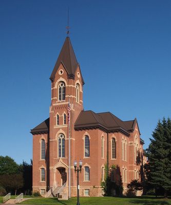
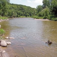
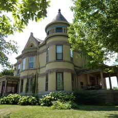
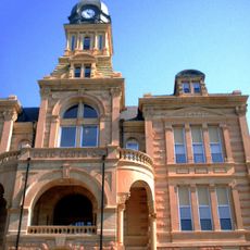
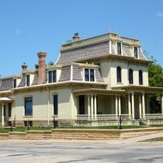
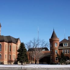
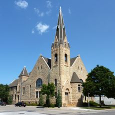
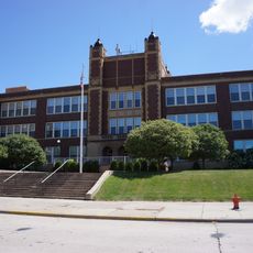
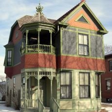
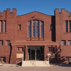
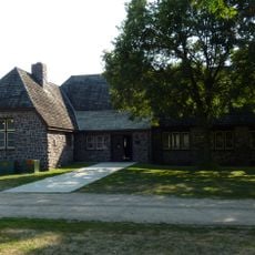
Nicollet County is an administrative division in Minnesota with rolling terrain and productive farmland situated along the Minnesota River valley. The county seat of St. Peter contains government buildings and serves as the center for local services.

The county was established in 1853 and named after Joseph Nicollet, a French cartographer of the upper Mississippi region. The Dakota War of 1862 significantly influenced settlement and development in the area.

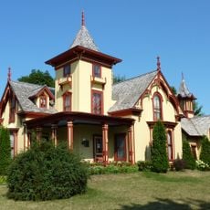
The name comes from Joseph Nicollet, a French explorer whose mapping work shaped early knowledge of the region. Today, local sites and landmarks reflect this connection to the area's early exploration.

St. Peter is centrally located and easy to reach if you need to visit government offices or local services. The region experiences a continental climate with distinct seasons, so plan your visits according to weather conditions.

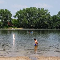
Swan Lake Wildlife Management Area serves as a major stopover for migratory birds and one of the primary breeding grounds for waterfowl in the upper United States. This area attracts thousands of birds annually during their migrations.

The community of curious travelers

AroundUs brings together thousands of curated places, local tips, and hidden gems, enriched daily by 60,000 contributors worldwide.

Start exploring
Location
Inception
March 5, 1853
Capital city
St. Peter
Shares border with
Sibley County, Blue Earth County, Brown County, Le Sueur County, Renville County
GPS coordinates
44.34000,-94.25000
Latest update
December 7, 2025 20:25
Around this place
Minneopa State Park
United States of America

Minneopa State Park

23 km
Hermann Heights Monument
United States of America

Hermann Heights Monument

18.1 km
Fort Ridgely
United States of America

Fort Ridgely

40.3 km
Flandrau State Park
United States of America

Flandrau State Park

18.7 km
Fort Ridgely State Park
United States of America

Fort Ridgely State Park

39.9 km
Seppman Mill
United States of America

Seppman Mill

22.4 km
Lorin Cray House
United States of America

Lorin Cray House

27.8 km
First National Bank of Mankato
United States of America

First National Bank of Mankato

27.5 km
Blue Earth County Courthouse
United States of America

Blue Earth County Courthouse

28 km
Wow Zone
United States of America

Wow Zone

30.8 km
Renesselaer D. Hubbard House
United States of America

Renesselaer D. Hubbard House

27.9 km
Nicollet County Courthouse and Jail
United States of America

Nicollet County Courthouse and Jail

23.4 km
Eugene Saint Julien Cox House
United States of America

Eugene Saint Julien Cox House

23 km
First Presbyterian Church
United States of America

First Presbyterian Church

27.8 km
Marsh Concrete Rainbow Arch Bridge
United States of America

Marsh Concrete Rainbow Arch Bridge

14.5 km
Old Main
United States of America

Old Main

28.1 km
Wanda Gág House
United States of America

Wanda Gág House

17.4 km
St. Peter Armory
United States of America

St. Peter Armory

23.3 km
Broadway Bridge
United States of America

Broadway Bridge

23.7 km
Methodist Episcopal Church
United States of America

Methodist Episcopal Church

24.6 km
Union Presbyterian Church
United States of America

Union Presbyterian Church

23 km
Emily and Stephen Schumacher House
United States of America

Emily and Stephen Schumacher House

23.5 km
Adolph O. Eberhart House
United States of America

Adolph O. Eberhart House

28.1 km
J.R. Brandrup House
United States of America

J.R. Brandrup House

28.2 km
Charles Chapman House
United States of America

Charles Chapman House

26.7 km
William Irving House
United States of America

William Irving House

27.1 km
Hiniker Pond Public Beach
United States of America

Hiniker Pond Public Beach

25.3 km
Flandrau State Park CCC/WPA/Rustic Style Historic Resources
United States of America

Flandrau State Park CCC/WPA/Rustic Style Historic Resources

18.3 km
Show the full map
« Nicollet County - Administrative division in Minnesota, United States » is provided by Around Us (aroundus.com). Images and texts are derived from Wikimedia project under a Creative Commons license. You are allowed to copy, distribute, and modify copies of this page, under the conditions set by the license, as long as this note is clearly visible.

Discover hidden gems everywhere you go!

From secret cafés to breathtaking viewpoints, skip the crowded tourist spots and find places that match your style. Our app makes it easy with voice search, smart filtering, route optimization, and insider tips from travelers worldwide. Download now for the complete mobile experience.

Around Us App Screenshot

A unique approach to discovering new places

Le Figaro

All the places worth exploring

France Info

A tailor-made excursion in just a few clicks

20 Minutes

Around Us
Travel Guide & Maps
Download

Send to your phone

QR Code
1

Open the camera app on your mobile.

2

Point at the QR code with your camera. A notification will appear.

3

Tap the notification to open the link.