Enable Location

We need your location to show you interesting places around you

Discover nearby places

Find interesting locations and hidden gems around you

Precise directions

Get accurate directions and distances to places

Your location is never shared with other users. It's only used when you tap the location button.

Yellow Medicine County

Log in to your account

Start exploring — it's free

Trusted by 61,907 travelers worldwide

Continue with Google
Continue with Apple
or

We will send you a code to connect

By continuing, you accept our Terms and Conditions and our Privacy Policy

Check your inbox

We've sent a pincode in your inbox. Please enter the code below.

Yellow Medicine County, Administrative division in Minnesota, United States

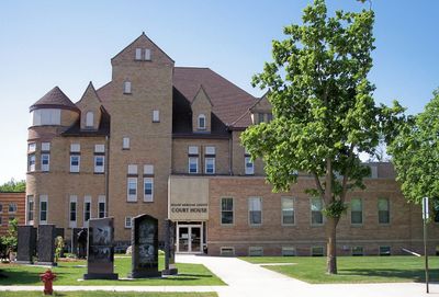
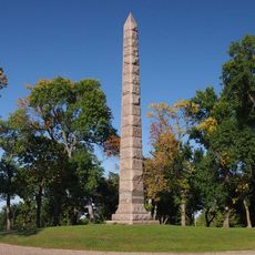
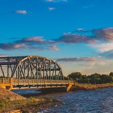
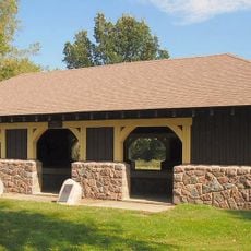
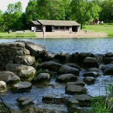
Yellow Medicine County is an administrative division in southwestern Minnesota that spreads across rolling hills and farmland along the Minnesota River. Granite Falls serves as the county seat and hub for governmental services.

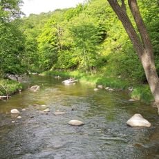
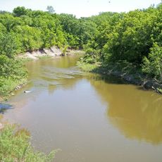
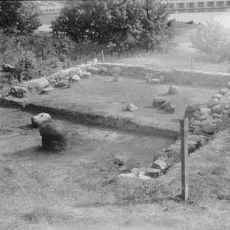
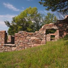
The county was established in 1871 and named after the Yellow Medicine River, where Dakota people gathered medicinal moonseed plants. The 1851 Treaty of Traverse des Sioux shaped early settlement patterns and Native American presence in the region.

The Upper Sioux Indian Reservation within the county preserves Native American heritage shaped by historical treaties and agreements. You can observe how the community maintains its cultural traditions and connection to the land.

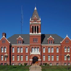
Most services and facilities are concentrated in Granite Falls, which is easy to reach. The agricultural nature of the land means roads are well-maintained, though harvest seasons can bring more traffic activity.

The highest point in the territory rises to about 1,732 feet (528 meters) near the southwest corner. This topographic feature makes the region notable for those exploring the landscape of the Great Plains.

The community of curious travelers

AroundUs brings together thousands of curated places, local tips, and hidden gems, enriched daily by 60,000 contributors worldwide.

Start exploring
Location
Inception
November 7, 1871
Capital city
Granite Falls
Shares border with
Chippewa County, Lyon County, Renville County, Redwood County, Lincoln County, Lac qui Parle County, Deuel County
GPS coordinates
44.72000,-95.86000
Latest update
December 7, 2025 20:40
Around this place
Camden State Park
United States of America

Camden State Park

39.5 km
Upper Sioux Agency State Park
United States of America

Upper Sioux Agency State Park

31.9 km
Andrew John Volstead House
United States of America

Andrew John Volstead House

27.2 km
Lac qui Parle State Park
United States of America

Lac qui Parle State Park

34.5 km
Lac qui Parle Mission
United States of America

Lac qui Parle Mission

33.5 km
Camp Release State Monument
United States of America

Camp Release State Monument

25.3 km
Sacred Heart Public School
United States of America

Sacred Heart Public School

40.9 km
Singsaas Lutheran Church
United States of America

Singsaas Lutheran Church

52.6 km
Old Masonic Temple
United States of America

Old Masonic Temple

30.8 km
Milroy State Bank Building
United States of America

Milroy State Bank Building

41.4 km
Bridge No. 5151-Marshall
United States of America

Bridge No. 5151-Marshall

31.2 km
Lund–Hoel House
United States of America

Lund–Hoel House

32.7 km
Lundring Service Station
United States of America

Lundring Service Station

32.9 km
St. Paul's Evangelical Lutheran Church & Parsonage
United States of America

St. Paul's Evangelical Lutheran Church & Parsonage

20.4 km
Appleton City Hall
United States of America

Appleton City Hall

54.9 km
Madison Carnegie Library
United States of America

Madison Carnegie Library

41.8 km
Dawson Bank Museum
United States of America

Dawson Bank Museum

27.9 km
Bridge No. 5083-Marshall
United States of America

Bridge No. 5083-Marshall

30.7 km
Canby Commercial Historic District
United States of America

Canby Commercial Historic District

32.9 km
Fagen Fighters WWII Museum
United States of America

Fagen Fighters WWII Museum

24.1 km
Milan Bridge
United States of America

Milan Bridge

43.1 km
Lac Qui Parle County Courthouse
United States of America

Lac Qui Parle County Courthouse

42.1 km
Lou T. Fisk
United States of America

Lou T. Fisk

41.6 km
Joseph Brown House Ruins
United States of America

Joseph Brown House Ruins

42.6 km
Lake Cochrane State Recreation Area
United States of America

Lake Cochrane State Recreation Area

48.8 km
Lac qui Parle State Park WPA/Rustic Style Historic District
United States of America

Lac qui Parle State Park WPA/Rustic Style Historic District

33.6 km
Camden State Park CCC/WPA/Rustic Style Historic District
United States of America

Camden State Park CCC/WPA/Rustic Style Historic District

39.3 km
Minnesota Machinery Museum
United States of America

Minnesota Machinery Museum

19.3 km
Show the full map
« Yellow Medicine County - Administrative division in Minnesota, United States » is provided by Around Us (aroundus.com). Images and texts are derived from Wikimedia project under a Creative Commons license. You are allowed to copy, distribute, and modify copies of this page, under the conditions set by the license, as long as this note is clearly visible.

Discover hidden gems everywhere you go!

From secret cafés to breathtaking viewpoints, skip the crowded tourist spots and find places that match your style. Our app makes it easy with voice search, smart filtering, route optimization, and insider tips from travelers worldwide. Download now for the complete mobile experience.

Around Us App Screenshot

A unique approach to discovering new places

Le Figaro

All the places worth exploring

France Info

A tailor-made excursion in just a few clicks

20 Minutes

Around Us
Travel Guide & Maps
Download

Send to your phone

QR Code
1

Open the camera app on your mobile.

2

Point at the QR code with your camera. A notification will appear.

3

Tap the notification to open the link.