Enable Location

We need your location to show you interesting places around you

Discover nearby places

Find interesting locations and hidden gems around you

Precise directions

Get accurate directions and distances to places

Your location is never shared with other users. It's only used when you tap the location button.

Rice County

Log in to your account

Start exploring — it's free

Trusted by 63,883 travelers worldwide

Continue with Google
Continue with Apple
or

We will send you a code to connect

By continuing, you accept our Terms and Conditions and our Privacy Policy

Check your inbox

We've sent a pincode in your inbox. Please enter the code below.

Discussion Reviews 1 Photos
17.6k Popularity

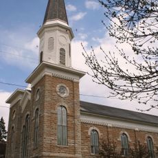
Rice County, Administrative county in southern Minnesota, United States.

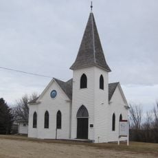
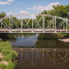
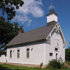
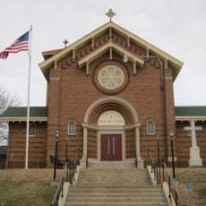
Rice County is an administrative county in southern Minnesota with rolling terrain and farmland, divided by two river systems. The landscape includes river valleys and wooded areas scattered throughout the region.

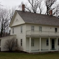
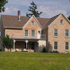
The county was established in 1853 and named after Henry Mower Rice, an influential figure in Minnesota Territory's formation. Early economic activity centered on river trade, which later shifted to farming operations.

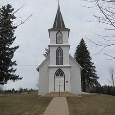
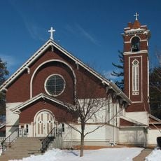
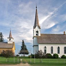
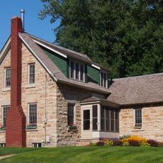
The area holds deep roots in agriculture and river commerce that shaped how communities developed and connected with one another. Today, these traditions remain visible in the way people live and use the land.

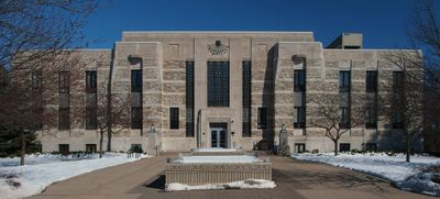
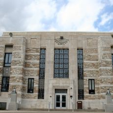
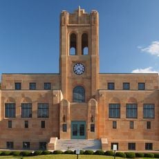
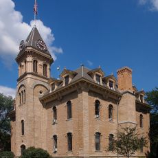
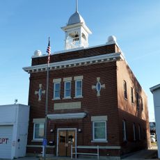
The county is well connected by Interstate 35 and state highways, with Faribault serving as the main administrative hub. Visitors can easily explore rural communities and river areas using a car or local roads.

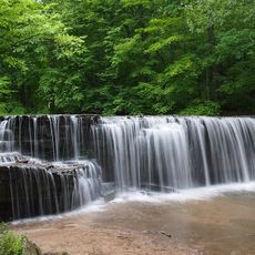
The area contains Nerstrand Big Woods State Park and Cannon Lake Wilderness Area, protected spaces with old forests and rare habitats. These wooded reserves offer a contrast to the surrounding farmland and draw nature enthusiasts.

The community of curious travelers

AroundUs brings together thousands of curated places, local tips, and hidden gems, enriched daily by 60,000 contributors worldwide.

Start exploring
Location
Inception
March 5, 1853
Capital city
Faribault
Shares border with
Dakota County, Steele County, Waseca County, Goodhue County, Dodge County, Scott County, Le Sueur County
GPS coordinates
44.36000,-93.30000
Latest update
December 7, 2025 19:24
Around this place
Nerstrand Big Woods State Park
United States of America

Nerstrand Big Woods State Park

15.4 km
Thorstein Veblen Farmstead
United States of America

Thorstein Veblen Farmstead

20.2 km
Goodsell Observatory
United States of America

Goodsell Observatory

16.3 km
The Cave
United States of America

The Cave

16.4 km
Rice County Courthouse and Jail
United States of America

Rice County Courthouse and Jail

7.7 km
Christdala Evangelical Swedish Lutheran Church
United States of America

Christdala Evangelical Swedish Lutheran Church

9.3 km
O. E. Rolvaag House
United States of America

O. E. Rolvaag House

15.3 km
Church of the Annunciation-Catholic
United States of America

Church of the Annunciation-Catholic

17.4 km
Trondhjem Norwegian Lutheran Church
United States of America

Trondhjem Norwegian Lutheran Church

14.2 km
Archibald Mill
United States of America

Archibald Mill

10.8 km
Northfield Public Library
United States of America

Northfield Public Library

15.6 km
Alexander Faribault House
United States of America

Alexander Faribault House

8.1 km
Thomas Scott Buckham Memorial Library
United States of America

Thomas Scott Buckham Memorial Library

8.2 km
Valley Grove
United States of America

Valley Grove

15.9 km
Waterford Bridge
United States of America

Waterford Bridge

19.7 km
Blind Department Building and Dow Hall, State School for the Blind
United States of America

Blind Department Building and Dow Hall, State School for the Blind

8.8 km
Congregational Church of Faribault
United States of America

Congregational Church of Faribault

7.7 km
Willis Hall
United States of America

Willis Hall

16 km
Jo Ryo En Japanese Garden
United States of America

Jo Ryo En Japanese Garden

16.3 km
Bonde Farmhouse
United States of America

Bonde Farmhouse

17.6 km
Scoville Memorial Library
United States of America

Scoville Memorial Library

16 km
District No. 72 School
United States of America

District No. 72 School

18.6 km
Church of the Most Holy Trinity (Catholic)
United States of America

Church of the Most Holy Trinity (Catholic)

21.5 km
Thomas and Bridget Shanahan McMahon House
United States of America

Thomas and Bridget Shanahan McMahon House

8.4 km
Nerstrand City Hall
United States of America

Nerstrand City Hall

18.6 km
All Saints Church-Episcopal
United States of America

All Saints Church-Episcopal

15.5 km
Osmund Osmundson House
United States of America

Osmund Osmundson House

18.8 km
Edward T. Archibald House
United States of America

Edward T. Archibald House

10.6 km
Show the full map
Reviews
Share your experience

No review yet

Discussions
Start a discussion...

No discussion yet

« Rice County - Administrative county in southern Minnesota, United States » is provided by Around Us (aroundus.com). Images and texts are derived from Wikimedia project under a Creative Commons license. You are allowed to copy, distribute, and modify copies of this page, under the conditions set by the license, as long as this note is clearly visible.

Discover hidden gems everywhere you go!

From secret cafés to breathtaking viewpoints, skip the crowded tourist spots and find places that match your style. Our app makes it easy with voice search, smart filtering, route optimization, and insider tips from travelers worldwide. Download now for the complete mobile experience.

Around Us App Screenshot

A unique approach to discovering new places

Le Figaro

All the places worth exploring

France Info

A tailor-made excursion in just a few clicks

20 Minutes

Around Us
Travel Guide & Maps
Download

Send to your phone

QR Code
1

Open the camera app on your mobile.

2

Point at the QR code with your camera. A notification will appear.

3

Tap the notification to open the link.