Enable Location

We need your location to show you interesting places around you

Discover nearby places

Find interesting locations and hidden gems around you

Precise directions

Get accurate directions and distances to places

Your location is never shared with other users. It's only used when you tap the location button.

Pulaski County

Log in to your account

Start exploring — it's free

Trusted by 61,969 travelers worldwide

Continue with Google
Continue with Apple
or

We will send you a code to connect

By continuing, you accept our Terms and Conditions and our Privacy Policy

Check your inbox

We've sent a pincode in your inbox. Please enter the code below.

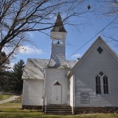
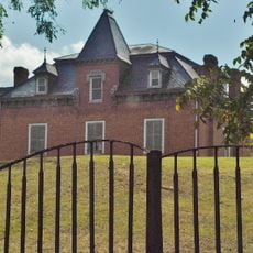
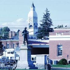
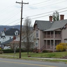
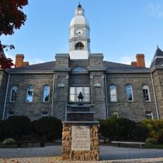
Pulaski County, Administrative county in southwestern Virginia, United States

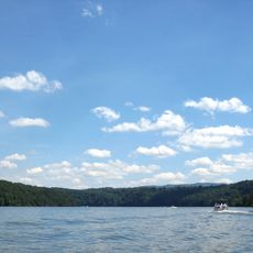
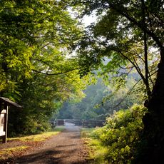
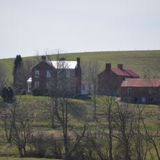
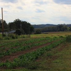
Pulaski County is an administrative county in southwestern Virginia that stretches across mountains, rivers, and the Claytor Lake in the New River Valley. The landscape features forests and valleys shaped by the river system that flows through the region.

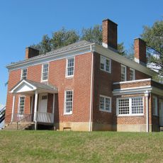
The county was established in 1839 from parts of Montgomery and Wythe counties and named after Count Casimir Pulaski, who fought alongside American forces during the Revolution. This formation created a new administrative division in the region's history.

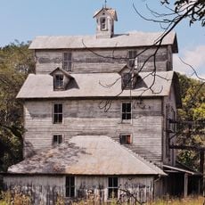
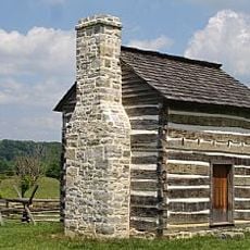
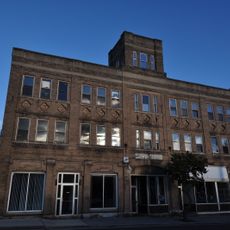
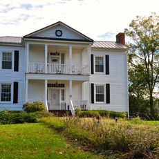
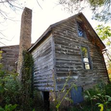
German and Scots-Irish settlers left their mark on the region through crafts and farming traditions that remain visible in local workshops and markets today. Their influence shaped how people here work with their hands and the land.

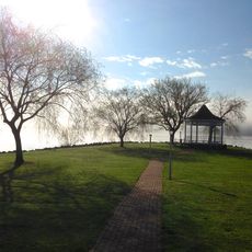
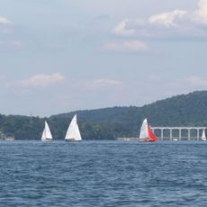
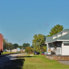
Visitors can access water recreation at several locations including Harry DeHaven Park and Gatewood Reservoir throughout the seasons. Exploring the county is best done by car since attractions and natural areas are spread across the region.

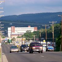
The Volvo Trucks North America assembly plant is one of the region's largest employers and represents modern industrial development in the area. This facility continues to shape the county's economic character today.

The community of curious travelers

AroundUs brings together thousands of curated places, local tips, and hidden gems, enriched daily by 60,000 contributors worldwide.

Start exploring
Location
Inception
1839
Capital city
Pulaski
Shares border with
Giles County, Carroll County, Bland County, Montgomery County, Radford, Floyd County, Wythe County
GPS coordinates
37.06000,-80.71000
Latest update
December 7, 2025 19:22
Around this place
Claytor Lake
United States of America

Claytor Lake

5.2 km
New River Trail State Park
United States of America

New River Trail State Park

23.3 km
Claytor Lake State Park
United States of America

Claytor Lake State Park

7.3 km
Shot Tower Historical State Park
United States of America

Shot Tower Historical State Park

23.3 km
United States of America

Dismal Creek

21.7 km
Claytor Dam
United States of America

Claytor Dam

11.2 km
Glencoe Museum
United States of America

Glencoe Museum

14 km
Foster Falls Historic District
United States of America

Foster Falls Historic District

23.5 km
Graham's Forge Mill
United States of America

Graham's Forge Mill

20.4 km
Back Creek Farm
United States of America

Back Creek Farm

11.9 km
Haven B. Howe House
United States of America

Haven B. Howe House

6.2 km
Ingles Bottom Archeological Sites
United States of America

Ingles Bottom Archeological Sites

12.2 km
Arnheim
United States of America

Arnheim

15.1 km
Kentland Farm Historic and Archeological District
United States of America

Kentland Farm Historic and Archeological District

18.7 km
Fairview District Home
United States of America

Fairview District Home

4 km
Harvey House
United States of America

Harvey House

14.5 km
Rockwood
United States of America

Rockwood

6 km
Walker's Creek Presbyterian Church
United States of America

Walker's Creek Presbyterian Church

18.8 km
Maj. David Graham House
United States of America

Maj. David Graham House

21.6 km
Pulaski Historic Commercial District
United States of America

Pulaski Historic Commercial District

2.2 km
Pulaski Historic Residential District
United States of America

Pulaski Historic Residential District

6.5 km
Pulaski County Courthouse
United States of America

Pulaski County Courthouse

6.5 km
Dalton Theater
United States of America

Dalton Theater

6.4 km
New Dublin Presbyterian Church
United States of America

New Dublin Presbyterian Church

7.1 km
Newbern Historic District
United States of America

Newbern Historic District

2.2 km
Dublin Historic District
United States of America

Dublin Historic District

5.7 km
John Grayson House
United States of America

John Grayson House

13.6 km
Cromer House
United States of America

Cromer House

16.3 km
Show the full map
Administrative divisions
« Pulaski County - Administrative county in southwestern Virginia, United States » is provided by Around Us (aroundus.com). Images and texts are derived from Wikimedia project under a Creative Commons license. You are allowed to copy, distribute, and modify copies of this page, under the conditions set by the license, as long as this note is clearly visible.

Discover hidden gems everywhere you go!

From secret cafés to breathtaking viewpoints, skip the crowded tourist spots and find places that match your style. Our app makes it easy with voice search, smart filtering, route optimization, and insider tips from travelers worldwide. Download now for the complete mobile experience.

Around Us App Screenshot

A unique approach to discovering new places

Le Figaro

All the places worth exploring

France Info

A tailor-made excursion in just a few clicks

20 Minutes

Around Us
Travel Guide & Maps
Download

Send to your phone

QR Code
1

Open the camera app on your mobile.

2

Point at the QR code with your camera. A notification will appear.

3

Tap the notification to open the link.