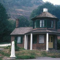
Mineral County, Administrative division in eastern panhandle, West Virginia, United States.
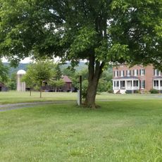
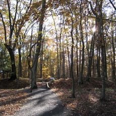
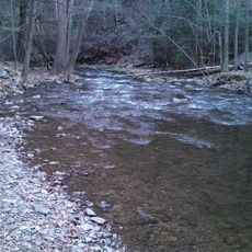
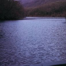
Mineral County is an administrative division in eastern West Virginia characterized by rolling hills and mountain ranges, with the Allegheny Front dominating the landscape. The North Branch Potomac River marks its northern boundary, and Jennings Randolph Lake sits within its borders for water-based activities.
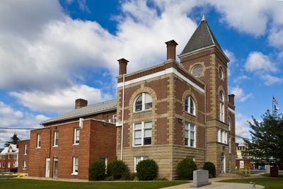
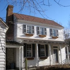
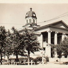
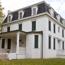
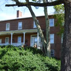
The county was established on February 1, 1866, formed from Hampshire County following West Virginia's statehood. Keyser was designated as its administrative center and has served as the seat of local government since its creation.
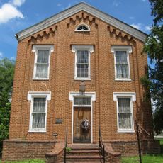
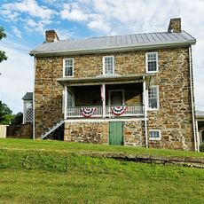
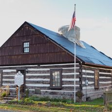
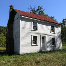
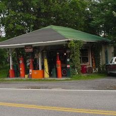
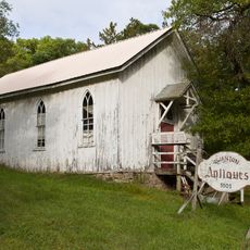
The area maintains Appalachian traditions through regular community gatherings where regional music, handcrafted goods, and local food specialties are celebrated. Visitors can experience these customs in small towns and see how residents keep their heritage alive in daily life.
The area is easy to navigate, with main roads running through the valleys and providing good access to different parts. Summer is ideal for water activities on the lake, while fall offers colorful mountain views and pleasant weather for hiking.
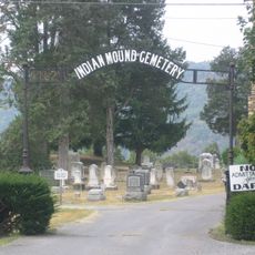
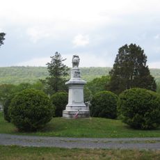
Archaeological evidence reveals that an ancient people called the Adena lived and worked in this region thousands of years ago. Ceremonial earthwork mounds left behind by this culture can still be found scattered across the land today.
The community of curious travelers
AroundUs brings together thousands of curated places, local tips, and hidden gems, enriched daily by 60,000 contributors worldwide.