Mecklenburg County

Log in to your account

AroundUs is a community-driven map of interesting places, built by curious explorers like you. It grows with every review, story, and photo you share.
Connect to save your favorite spots, contribute locations, and create personalized routes.
By continuing, you accept our Terms and Conditions and our Privacy Policy
Add to collection
Map
Suggest a change
Share

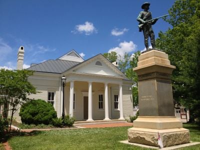
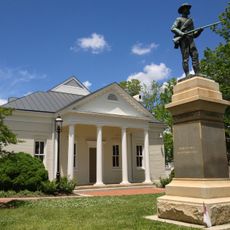
Mecklenburg County, County in Virginia, United States

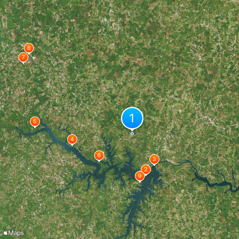
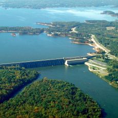
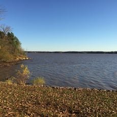
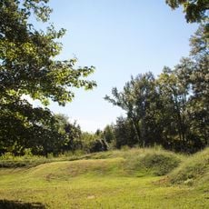
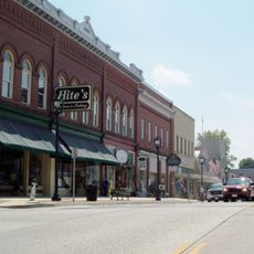
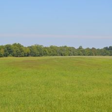
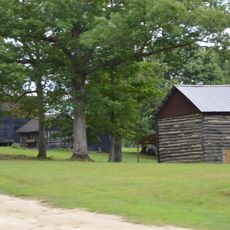
Mecklenburg County is an administrative division in southeastern Virginia characterized by numerous lakes and waterways throughout its landscape. The region includes rural communities interspersed with natural water features that shape its geography and local environment.

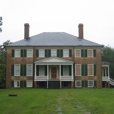
The Virginia General Assembly established the county in 1765 by dividing Lunenburg County into three separate administrative regions. This division was part of Virginia's early administrative development during the colonial period.

The county takes its name from Queen Charlotte of Mecklenburg-Strelitz, linking this Virginia region to German and British heritage. This naming choice reflects the colonial connections between the New World and European royal families.

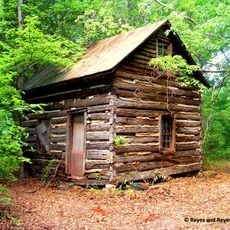
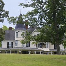
The area is governed by a nine-member Board of Supervisors, with each representative elected from individual districts. Visitors should note that the region consists of several scattered communities connected by local roads.

The county is managed by five constitutional officers, including the Sheriff and Treasurer, who operate through a traditional Virginia governance model. This system shows how early colonial administrative structures persist in modern county operations.

Location: Virginia

Inception: 1765

Capital city: Boydton

Shares border with: Lunenburg County, Brunswick County, Warren County, Vance County, Granville County, Halifax County, Charlotte County

Website: http://mecklenburgva.com

GPS coordinates: 36.68000,-78.37000

Latest update: December 7, 2025 10:02

Photos
Around this place
Show the full map
John H. Kerr Dam
United States of America

John H. Kerr Dam

11.1 km
Prestwould
United States of America

Prestwould

17.7 km
Staunton River State Park
United States of America

Staunton River State Park

28.2 km
Occoneechee State Park
United States of America

Occoneechee State Park

12.5 km
Black Walnut (Clover, Virginia)
United States of America

Black Walnut (Clover, Virginia)

37.5 km
Staunton River Battlefield State Park
United States of America

Staunton River Battlefield State Park

37.7 km
Long Grass Plantation
United States of America

Long Grass Plantation

14.2 km
Patrick Robert Sydnor Log Cabin
United States of America

Patrick Robert Sydnor Log Cabin

16.1 km
Mecklenburg County Courthouse
United States of America

Mecklenburg County Courthouse

2.2 km
Colonial Center
United States of America

Colonial Center

21.9 km
Boyd's Tavern
United States of America

Boyd's Tavern

2.1 km
Clarksville Historic District
United States of America

Clarksville Historic District

18 km
Buckingham Courthouse Historic District
United States of America

Buckingham Courthouse Historic District

21.7 km
Buffalo Springs Historical Archeological District
United States of America

Buffalo Springs Historical Archeological District

26.4 km
MacCallum More and Hudgins House Historic District
United States of America

MacCallum More and Hudgins House Historic District

15.6 km
Eureka
United States of America

Eureka

13.1 km
Elm Hill
United States of America

Elm Hill

10.3 km
Shadow Lawn
United States of America

Shadow Lawn

15.2 km
Boydton Historic District
United States of America

Boydton Historic District

2.3 km
Wade Archeological Site
United States of America

Wade Archeological Site

37.7 km
On the Hill
United States of America

On the Hill

2.6 km
Clark Royster House
United States of America

Clark Royster House

17.8 km
Red Fox Farm
United States of America

Red Fox Farm

11.1 km
O.H.P. Tanner House
United States of America

O.H.P. Tanner House

24.8 km
Toombs Tobacco Farm
United States of America

Toombs Tobacco Farm

23.1 km
Salem School
United States of America

Salem School

25.8 km
Elm Hill Archaeological Site
United States of America

Elm Hill Archaeological Site

11.8 km
Judge Henry Wood, Jr. House
United States of America

Judge Henry Wood, Jr. House

18 km
Show the full map
Reviews

Visited this place? Tap the stars to rate it and share your experience / photos with the community! Try now! You can cancel it anytime.

Administrative divisions
« Mecklenburg County - County in Virginia, United States » is provided by Around Us (aroundus.com). Images and texts are derived from Wikimedia project under a Creative Commons license. You are allowed to copy, distribute, and modify copies of this page, under the conditions set by the license, as long as this note is clearly visible.

Discover hidden gems everywhere you go!

From secret cafés to breathtaking viewpoints, skip the crowded tourist spots and find places that match your style. Our app makes it easy with voice search, smart filtering, route optimization, and insider tips from travelers worldwide. Download now for the complete mobile experience.

Around Us App Screenshot

A unique approach to discovering new places

Le Figaro

All the places worth exploring

France Info

A tailor-made excursion in just a few clicks

20 Minutes