Alliance

Log in to your account

AroundUs is a community-driven map of interesting places, built by curious explorers like you. It grows with every review, story, and photo you share.
Connect to save your favorite spots, contribute locations, and create personalized routes.
By continuing, you accept our Terms and Conditions and our Privacy Policy

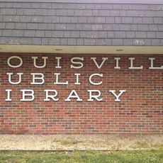
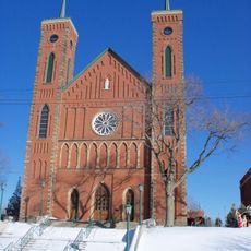
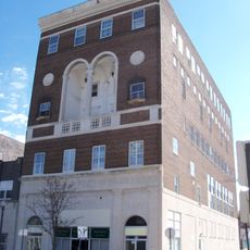
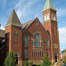
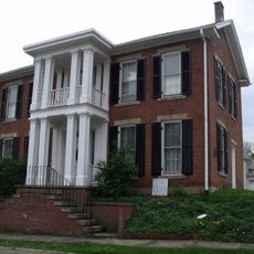
Alliance, City center in Stark and Mahoning Counties, Ohio, United States

Alliance extends across two counties at an elevation of 353 meters, featuring residential neighborhoods, commercial districts, and public recreational spaces throughout the municipality.

The establishment of Alliance in 1854 marked the beginning of its development as a regional center, gradually expanding its influence in northeastern Ohio.

The population of Alliance includes a substantial Haitian community, which has contributed to the demographic transformation and economic development of the region.

The Street Department conducts annual leaf collection programs during autumn months, providing essential maintenance services to residential areas across the city.

Alliance maintains a Military Banner Program that displays photographs of local service members on street poles throughout the municipality.

Location: Stark County

Location: Mahoning County

Inception: 1854

Elevation above the sea: 353 m

Website: http://cityofalliance.com

GPS coordinates: 40.91333,-81.10806

Latest update: May 26, 2025 21:54

Around this place
Show the full map
Clearview Golf Club
United States of America

Clearview Golf Club

19.6 km
John and Syd Dobkins House
United States of America

John and Syd Dobkins House

21.7 km
Palace Theatre
United States of America

Palace Theatre

25.6 km
Quail Hollow State Park
United States of America

Quail Hollow State Park

18.6 km
Ridgewood Historic District
United States of America

Ridgewood Historic District

23.8 km
Canton Museum of Art
United States of America

Canton Museum of Art

25.3 km
Louisville Public Library
United States of America

Louisville Public Library

14.8 km
Atwater Congregational Church
United States of America

Atwater Congregational Church

12.6 km
St. Louis Church
United States of America

St. Louis Church

15.2 km
Daniel Howell Hise House
United States of America

Daniel Howell Hise House

22.5 km
John Street House
United States of America

John Street House

21.1 km
Haines House
United States of America

Haines House

886 m
Burchfield Homestead
United States of America

Burchfield Homestead

21.8 km
First United Methodist Church
United States of America

First United Methodist Church

21.3 km
Hanoverton Canal Town District
United States of America

Hanoverton Canal Town District

23.1 km
Alliance Bank Building
United States of America

Alliance Bank Building

1.2 km
Middle Sandy Presbyterian Church
United States of America

Middle Sandy Presbyterian Church

9 km
South Lincoln Avenue Historic District
United States of America

South Lincoln Avenue Historic District

21.8 km
Brooke and Anna E. Martin House
United States of America

Brooke and Anna E. Martin House

24.6 km
Alliance Clay Product Company
United States of America

Alliance Clay Product Company

2.4 km
Eagles Building-Strand Theater
United States of America

Eagles Building-Strand Theater

1 km
First Methodist Episcopal Church
United States of America

First Methodist Episcopal Church

994 m
Patrick Hull House
United States of America

Patrick Hull House

23.8 km
Haines House Underground Railroad Museum
United States of America

Haines House Underground Railroad Museum

845 m
First Reformed and First Lutheran Churches
United States of America

First Reformed and First Lutheran Churches

25.4 km
Old Stagecoach Inn
United States of America

Old Stagecoach Inn

21.2 km
Clearview Golf Club, 1946
United States of America

Clearview Golf Club, 1946

19.6 km
Wingfoot Lake State Park
United States of America

Wingfoot Lake State Park

24.1 km
Show the full map

Reviews

Visited this place? Tap the stars to rate it and share your experience / photos with the community! Try now! You can cancel it anytime.

« Alliance - City center in Stark and Mahoning Counties, Ohio, United States » is provided by Around Us (aroundus.com). Images and texts are derived from Wikimedia project under a Creative Commons license. You are allowed to copy, distribute, and modify copies of this page, under the conditions set by the license, as long as this note is clearly visible.

Discover hidden gems everywhere you go!

From secret cafés to breathtaking viewpoints, skip the crowded tourist spots and find places that match your style. Our app makes it easy with voice search, smart filtering, route optimization, and insider tips from travelers worldwide. Download now for the complete mobile experience.

Around Us App Screenshot

A unique approach to discovering new places

Le Figaro

All the places worth exploring

France Info

A tailor-made excursion in just a few clicks

20 Minutes