Enable Location

We need your location to show you interesting places around you

Discover nearby places

Find interesting locations and hidden gems around you

Precise directions

Get accurate directions and distances to places

Your location is never shared with other users. It's only used when you tap the location button.

Mahoning County

Log in to your account

Start exploring — it's free

Trusted by 61,864 travelers worldwide

Continue with Google
Continue with Apple
or

We will send you a code to connect

By continuing, you accept our Terms and Conditions and our Privacy Policy

Check your inbox

We've sent a pincode in your inbox. Please enter the code below.

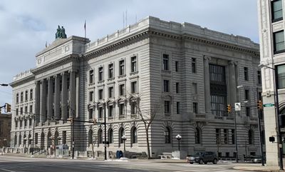
Mahoning County, Administrative county in northeastern Ohio, United States

Description

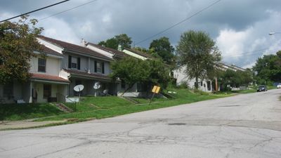
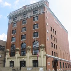
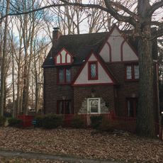
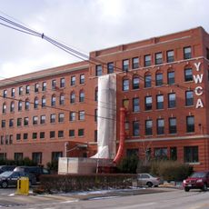
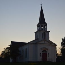
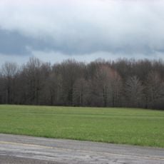
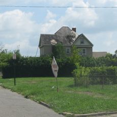
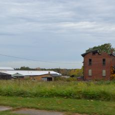
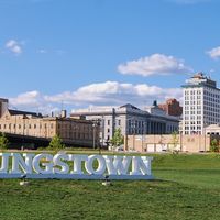
Mahoning County is an administrative division in northeastern Ohio that includes urban centers and open landscapes spread across the region. The county encompasses multiple municipalities with diverse characteristics.

History

The territory was originally home to Erie and Whittlesey peoples until conflicts caused their displacement by the Iroquois Confederacy. These shifts reshaped the cultural makeup of the region for centuries.

Culture

Council Rock in Lincoln Park was a central gathering place where Shawnee and Lenape peoples held ceremonies and political meetings. The site reflects the deep connection these nations had to the land.

Practical

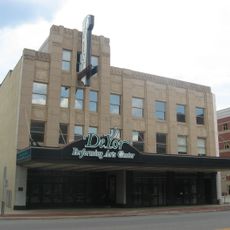
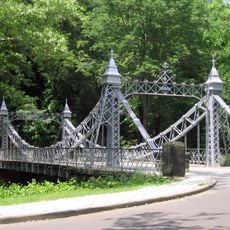
The county provides essential services through various offices including the Clerk of Courts, Auditor, and Recorder. Visitors can explore the local communities in many different ways depending on their interests.

Did you know?

The population reflects strong immigration patterns with German and Italian heritage shaping nearly 40 percent of residents today. These roots continue to influence local traditions and community life.

Location
Inception
March 1, 1846
Capital city
Youngstown
Reference
MAH
Shares border with
Mercer County, Lawrence County, Trumbull County, Portage County, Stark County, Columbiana County
GPS coordinates
41.02000,-80.77000
Latest update
December 17, 2025 08:33

AroundUs brings together thousands of curated places, local tips, and hidden gems, enriched daily by 60,000 contributors worldwide. Discover all places nearby (Ohio).

Around this place
Beeghly Center
United States of America

Beeghly Center

14.1 km
United States of America

Mill Creek Park

6.1 km
Idora Park
United States of America

Idora Park

9.2 km
Covelli Centre
United States of America

Covelli Centre

13.5 km
Stambaugh Stadium
United States of America

Stambaugh Stadium

14.2 km
Butler Institute of American Art
United States of America

Butler Institute of American Art

14.1 km
Stambaugh Auditorium
United States of America

Stambaugh Auditorium

14.4 km
Powers Auditorium
United States of America

Powers Auditorium

13.4 km
Mill Creek Park Suspension Bridge
United States of America

Mill Creek Park Suspension Bridge

9 km
United States of America

Canfield Speedway

1.8 km
Basilica and National Shrine of Our Lady of Lebanon
United States of America

Basilica and National Shrine of Our Lady of Lebanon

13 km
United States of America

Fellows Riverside Gardens

11.9 km
United States of America

McDonough Museum of Art

14.1 km
Austintown Log House
United States of America

Austintown Log House

5.6 km
Judge William Shaw Anderson House
United States of America

Judge William Shaw Anderson House

9.3 km
United States of America

Youngstown Playhouse

10.5 km
John Street House
United States of America

John Street House

14.8 km
Wick Building
United States of America

Wick Building

13.5 km
George J. Renner, Jr. House
United States of America

George J. Renner, Jr. House

14.5 km
Westside Bowl
United States of America

Westside Bowl

11 km
Burchfield Homestead
United States of America

Burchfield Homestead

14.5 km
Masonic Temple
United States of America

Masonic Temple

13.8 km
Newport Village Historic District
United States of America

Newport Village Historic District

9.7 km
YWCA Youngstown
United States of America

YWCA Youngstown

13.8 km
St. James Episcopal Church
United States of America

St. James Episcopal Church

10.1 km
William H. McGuffey Boyhood Home Site
United States of America

William H. McGuffey Boyhood Home Site

20.7 km
Arlington Avenue District
United States of America

Arlington Avenue District

13.9 km
Alliance Clay Product Company
United States of America

Alliance Clay Product Company

29.3 km
Show the full map
Administrative divisions
« Mahoning County - Administrative county in northeastern Ohio, United States » is provided by Around Us (aroundus.com). Images and texts are derived from Wikimedia project under a Creative Commons license. You are allowed to copy, distribute, and modify copies of this page, under the conditions set by the license, as long as this note is clearly visible.

Discover hidden gems everywhere you go!

From secret cafés to breathtaking viewpoints, skip the crowded tourist spots and find places that match your style. Our app makes it easy with voice search, smart filtering, route optimization, and insider tips from travelers worldwide. Download now for the complete mobile experience.

Around Us App Screenshot

A unique approach to discovering new places

Le Figaro

All the places worth exploring

France Info

A tailor-made excursion in just a few clicks

20 Minutes

Around Us
Travel Guide & Maps
Download

Send to your phone

QR Code
1

Open the camera app on your mobile.

2

Point at the QR code with your camera. A notification will appear.

3

Tap the notification to open the link.