Stark County

Log in to your account

AroundUs is a community-driven map of interesting places, built by curious explorers like you. It grows with every review, story, and photo you share.
Connect to save your favorite spots, contribute locations, and create personalized routes.
Continue with Google
Continue with Apple
Continue with X
Continue with Facebook
Continue with email
By continuing, you accept our Terms and Conditions and our Privacy Policy
Create an account
Add to collection
Map
Suggest a change
Share

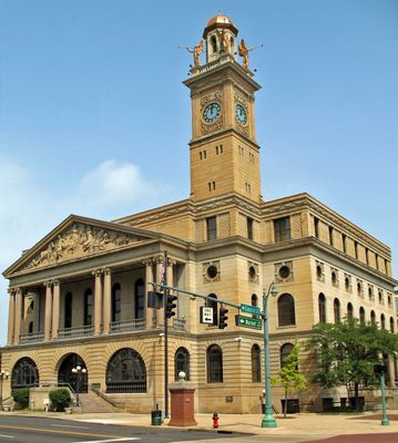
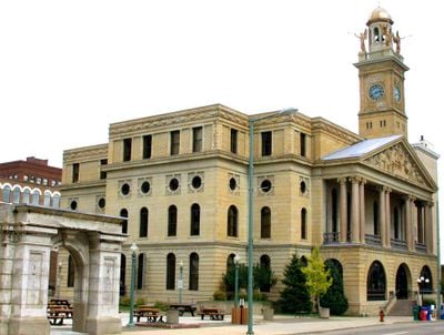
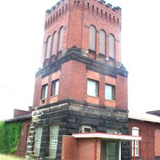
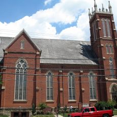
Stark County, County in northeastern Ohio, United States

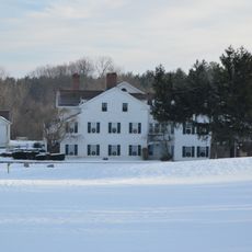
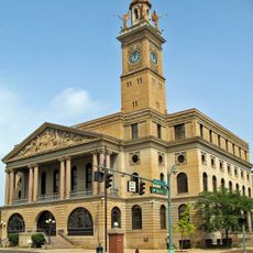
Stark County is an administrative division in northeastern Ohio with Canton serving as its county seat. The region encompasses communities that range from industrial centers to residential areas and includes numerous municipalities.

The county was established in 1808 and named after General John Stark, who distinguished himself during the American Revolutionary War. This choice honored a significant military figure from the nation's founding period.

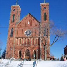
Early German-speaking settlers from Pennsylvania shaped the region, and their heritage remains visible in local traditions and community bonds. The influence of these first inhabitants continues through family connections and neighborhood life today.

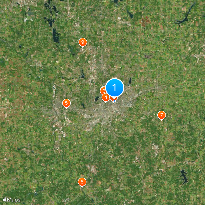
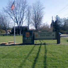
Visitors can access public services through the county administration website, which offers tools for research and digital mapping. Planning a visit to the area is made easier by browsing online resources before arrival.

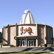
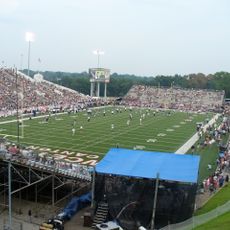
The region played a key role in developing American football through early teams like the Massillon Tigers and Canton Bulldogs, leading to the establishment of the Pro Football Hall of Fame. This pioneering sports history makes the area notable for fans of the professional game.

Location: Ohio

Inception: February 13, 1808

Capital city: Canton

Reference: STA

Shares border with: Portage County, Tuscarawas County, Carroll County, Mahoning County, Columbiana County, Holmes County, Wayne County, Summit County

Website: http://co.stark.oh.us

GPS coordinates: 40.81000,-81.37000

Latest update: December 17, 2025 08:05

Photos
Around this place
Pro Football Hall of Fame
United States of America

Pro Football Hall of Fame

2.6 km
Tom Benson Hall of Fame Stadium
United States of America

Tom Benson Hall of Fame Stadium

2.6 km
President William McKinley National Memorial
United States of America

President William McKinley National Memorial

2 km
Paul Brown Tiger Stadium
United States of America

Paul Brown Tiger Stadium

10.8 km
Canton Memorial Civic Center
United States of America

Canton Memorial Civic Center

358 m
Clearview Golf Club
United States of America

Clearview Golf Club

11.2 km
Fort Laurens
United States of America

Fort Laurens

20.4 km
MAPS Air Museum
United States of America

MAPS Air Museum

13.9 km
Central Catholic High School
United States of America

Central Catholic High School

6 km
John and Syd Dobkins House
United States of America

John and Syd Dobkins House

5.1 km
Palace Theatre
United States of America

Palace Theatre

920 m
Quail Hollow State Park
United States of America

Quail Hollow State Park

19.4 km
Portage Lakes State Park
United States of America

Portage Lakes State Park

23.7 km
Ridgewood Historic District
United States of America

Ridgewood Historic District

1.4 km
United States of America

Nobles Pond Site

10.7 km
Canton Museum of Art
United States of America

Canton Museum of Art

420 m
United States of America

Comet Lake

17.8 km
Canton Public Library
United States of America

Canton Public Library

1.5 km
Stark County Courthouse
United States of America

Stark County Courthouse

1.3 km
United States of America

Jackson Bog State Nature Preserve

12.5 km
Louisville Public Library
United States of America

Louisville Public Library

10.3 km
Spring Hill Historic Home
United States of America

Spring Hill Historic Home

11.5 km
St. Louis Church
United States of America

St. Louis Church

9.9 km
Old McKinley High School
United States of America

Old McKinley High School

735 m
Seven Ranges Terminus
United States of America

Seven Ranges Terminus

18.1 km
Harvard Company-Weber Dental Manufacturing Company
United States of America

Harvard Company-Weber Dental Manufacturing Company

1.9 km
Saint Joseph's Roman Catholic Church
United States of America

Saint Joseph's Roman Catholic Church

12.6 km
Frank Mason Raymond House
United States of America

Frank Mason Raymond House

22.6 km
Show the full map
Reviews

Visited this place? Tap the stars to rate it and share your experience / photos with the community! Try now! You can cancel it anytime.

Administrative divisions
« Stark County - County in northeastern Ohio, United States » is provided by Around Us (aroundus.com). Images and texts are derived from Wikimedia project under a Creative Commons license. You are allowed to copy, distribute, and modify copies of this page, under the conditions set by the license, as long as this note is clearly visible.

Discover hidden gems everywhere you go!

From secret cafés to breathtaking viewpoints, skip the crowded tourist spots and find places that match your style. Our app makes it easy with voice search, smart filtering, route optimization, and insider tips from travelers worldwide. Download now for the complete mobile experience.

Around Us App Screenshot

A unique approach to discovering new places

Le Figaro

All the places worth exploring

France Info

A tailor-made excursion in just a few clicks

20 Minutes