Dorchester

Log in to your account

AroundUs is a community-driven map of interesting places, built by curious explorers like you. It grows with every review, story, and photo you share.
Connect to save your favorite spots, contribute locations, and create personalized routes.
Continue with Google
Continue with Apple
Continue with X
Continue with Facebook
Continue with email
By continuing, you accept our Terms and Conditions and our Privacy Policy
Create an account
Add to collection
Map
Suggest a change
Share

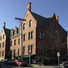
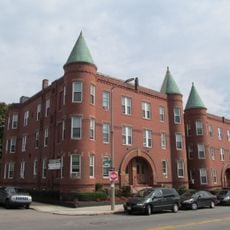
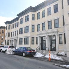
Dorchester, Residential neighborhood in Boston, US.

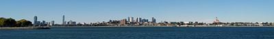
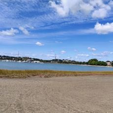
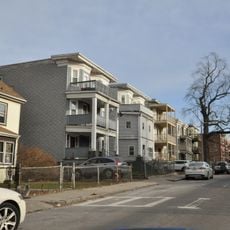
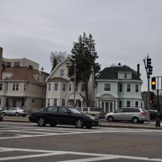
Dorchester is a sprawling residential neighborhood along Boston's southern edge, stretching across multiple square miles. It connects to Mattapan and Roxbury on the west side and borders South Boston across I-93.

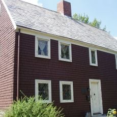
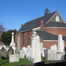
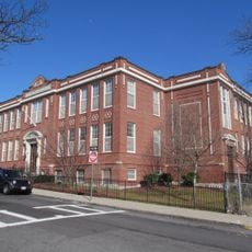
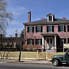
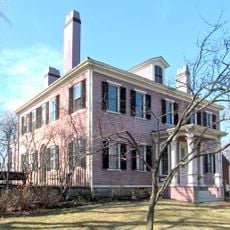
Puritan settlers from Dorchester, England founded this area in 1630 and established America's first public elementary school, the Mather School, which still operates today. This institution set a model for public education that spread throughout the young nation.

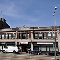
Vietnamese communities have shaped the character of Fields Corner with restaurants, shops, and gathering places that reflect their traditions. Walking through this part of the neighborhood, you encounter the sounds and flavors of Southeast Asia alongside the broader Boston street life.

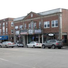
The neighborhood operates across multiple zip codes including 02121, 02122, 02124, and 02125, with services spread throughout different community centers. You will find shops, transit connections, and local resources distributed across the various sections.

Franklin Park within the neighborhood contains open green space and houses both a public zoo and a golf course as part of the Emerald Necklace system. This combination of nature and recreation offers an unexpected refuge within the urban area.

Location: Boston

Inception: May 1630

Shares border with: Roxbury, South Boston

Website: http://mydorchester.org

GPS coordinates: 42.31667,-71.05000

Latest update: December 10, 2025 16:22

Photos
Around this place
John F. Kennedy Presidential Library and Museum
United States of America

John F. Kennedy Presidential Library and Museum

1.4 km
Museum of Bad Art
United States of America

Museum of Bad Art

1.2 km
James Blake House
United States of America

James Blake House

910 m
Carson Beach, South Boston
United States of America

Carson Beach, South Boston

1.1 km
United States of America

Strand Theatre

1.3 km
Shirley-Eustis House
United States of America

Shirley-Eustis House

2 km
Calf Pasture Pumping Station Complex
United States of America

Calf Pasture Pumping Station Complex

1.4 km
Saint Augustine Chapel and Cemetery
United States of America

Saint Augustine Chapel and Cemetery

1.9 km
Monan Park
United States of America

Monan Park

636 m
Dorchester North Burying Ground
United States of America

Dorchester North Burying Ground

1.1 km
William Monroe Trotter House
United States of America

William Monroe Trotter House

1.1 km
Cathedral of St. George Historic District
United States of America

Cathedral of St. George Historic District

2.1 km
Statue of Edward Everett
United States of America

Statue of Edward Everett

925 m
Benedict Fenwick School
United States of America

Benedict Fenwick School

1.9 km
Captain Lemuel Clap House
United States of America

Captain Lemuel Clap House

683 m
Clapp Houses
United States of America

Clapp Houses

681 m
William Clapp House
United States of America

William Clapp House

683 m
Upham's Corner Market
United States of America

Upham's Corner Market

1.3 km
Pilgrim Congregational Church
United States of America

Pilgrim Congregational Church

1.4 km
Savin Hill Beach
United States of America

Savin Hill Beach

979 m
United States of America

Old Harbor Reservation Parkways

1.5 km
Fields Corner Municipal Building
United States of America

Fields Corner Municipal Building

1.8 km
Frances and Isabella Apartments
United States of America

Frances and Isabella Apartments

2.2 km
Intervale Street-Columbia Road Historic District
United States of America

Intervale Street-Columbia Road Historic District

2.2 km
Lawrence Avenue Historic District
United States of America

Lawrence Avenue Historic District

2.3 km
South Boston Boat Clubs Historic District
United States of America

South Boston Boat Clubs Historic District

2 km
Columbia Road–Bellevue Street Historic District
United States of America

Columbia Road–Bellevue Street Historic District

1.6 km
Governor Shirley Square Historic District
United States of America

Governor Shirley Square Historic District

2.3 km
Show the full map
Reviews

Visited this place? Tap the stars to rate it and share your experience / photos with the community! Try now! You can cancel it anytime.

« Dorchester - Residential neighborhood in Boston, US » is provided by Around Us (aroundus.com). Images and texts are derived from Wikimedia project under a Creative Commons license. You are allowed to copy, distribute, and modify copies of this page, under the conditions set by the license, as long as this note is clearly visible.

Discover hidden gems everywhere you go!

From secret cafés to breathtaking viewpoints, skip the crowded tourist spots and find places that match your style. Our app makes it easy with voice search, smart filtering, route optimization, and insider tips from travelers worldwide. Download now for the complete mobile experience.

Around Us App Screenshot

A unique approach to discovering new places

Le Figaro

All the places worth exploring

France Info

A tailor-made excursion in just a few clicks

20 Minutes