
Harvey Cedars, borough of New Jersey, United States
Location: Ocean County
Inception: November 20, 1894
Shares border with: Barnegat Township, Stafford Township, Long Beach Township
Website: https://harveycedars.org
GPS coordinates: 39.69960,-74.14150
Latest update: March 3, 2025 10:17
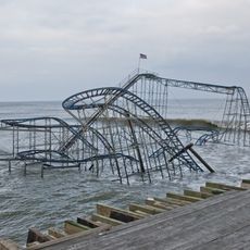
Star Jet
27.8 km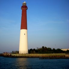
Barnegat Lighthouse
7.8 km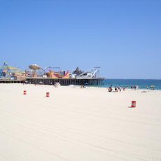
Casino Pier
27.7 km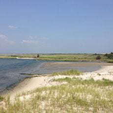
Island Beach State Park
23.5 km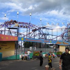
Jet Star
27.7 km
Hydrus
27.7 km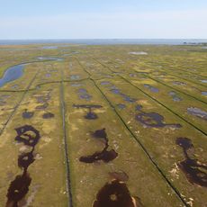
Edwin B. Forsythe National Wildlife Refuge
18.7 km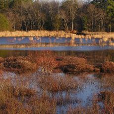
Double Trouble State Park
23.1 km
Bass River State Forest
25.8 km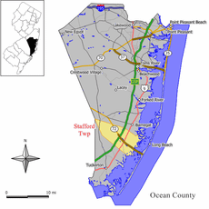
Manahawkin Bay Bridge
6.7 km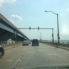
Thomas A. Mathis and J. Stanley Tunney Bridges
27.4 km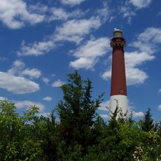
Barnegat Lighthouse State Park
7.6 km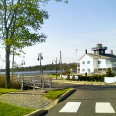
Tuckerton Seaport
20.4 km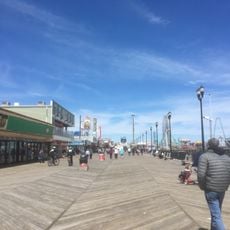
Shore Region
27.9 km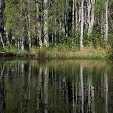
Penn State Forest
27.7 km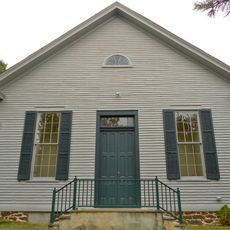
Little Egg Harbor Friends Meeting House
20.2 km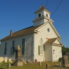
Manahawkin Baptist Church
9.9 km
Beach Haven Historic District
17.9 km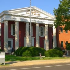
Ocean County Courthouse
28.6 km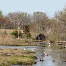
Manahawkin Bottomland Hardwood Forest
7 km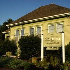
Barnegat Light Public School
7.4 km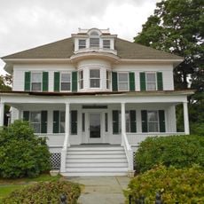
Mary Etta Cox House
9.3 km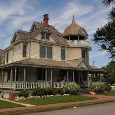
Converse Cottage
17.8 km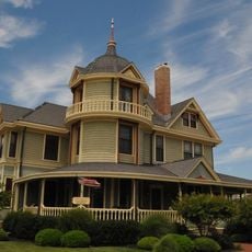
Dr. Edward H. Williams House
17.9 km
U.S. Life Saving Station No. 14
26.7 km
Phare de Tucker's Beach
20.4 km
New Jersey Maritime Museum
17.3 km
Island Heights Historic District
26.8 kmVisited this place? Tap the stars to rate it and share your experience / photos with the community! Try now! You can cancel it anytime.
Discover hidden gems everywhere you go!
From secret cafés to breathtaking viewpoints, skip the crowded tourist spots and find places that match your style. Our app makes it easy with voice search, smart filtering, route optimization, and insider tips from travelers worldwide. Download now for the complete mobile experience.

A unique approach to discovering new places❞
— Le Figaro
All the places worth exploring❞
— France Info
A tailor-made excursion in just a few clicks❞
— 20 Minutes