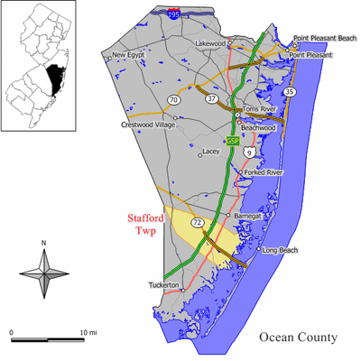
Manahawkin Bay Bridge, Road bridge in Ocean County, New Jersey, US.
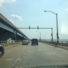
The Manahawkin Bay Bridge is a road bridge in Ocean County, New Jersey, that carries Route 72 across Manahawkin Bay, connecting Stafford Township on the mainland to Ship Bottom on Long Beach Island. It has dedicated lanes for cars and separate paths for cyclists and pedestrians running along both sides of the span.
The bridge was built in the 1950s to support the growing development on Long Beach Island. In 2000, it received an official dedication honoring an engineer who played a key role in designing its lighting system.
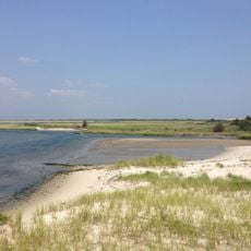
The bridge is the only direct road connection between the mainland and Long Beach Island, making it a central part of daily life for people who live there. Those who cross on foot or by bike get an open view of the bay on both sides throughout the crossing.
The bridge is open to pedestrians and cyclists at all times, with marked paths on both sides that keep them separated from vehicle traffic. Crossing on foot or by bike takes only a few minutes and is most comfortable in good weather.
The guardrails along the bridge contain over 700 individual lights built directly into the structure, a method that had never been used anywhere in the world before. At night, this makes the crossing stand out clearly from other spans in the region and visible from far away.
The community of curious travelers
AroundUs brings together thousands of curated places, local tips, and hidden gems, enriched daily by 60,000 contributors worldwide.