Chest opened
+${chestReward.xp} XP
Explorer
NOUVEAU ×${chestReward.collectible.quantity}
tapez pour fermer

See the monuments around you in AR Open chests in the app

Around Us is built for your phone — point your camera at the streets and discover the monuments and places around you in augmented reality. Around Us is built for your phone — chests unlock when you walk, explore and capture nearby places.

•

Enable Location

We need your location to show you interesting places around you

Discover nearby places

Find interesting locations and hidden gems around you

Precise directions

Get accurate directions and distances to places

Your location is never shared with other users. It's only used when you tap the location button.

Batona Trail

Log in to your account

Start exploring — it's free

Trusted by 90,138 travelers worldwide

Continue with Google
Continue with Apple
or

We will send you a code to connect

By continuing, you accept our Terms and Conditions and our Privacy Policy

Check your inbox

We've sent a pincode in your inbox. Please enter the code below.

Discussion Reviews 1 Photos
7.6k Popularity

Batona Trail, Long-distance hiking trail in Pine Barrens, New Jersey, United States.

Audio guide · About one minute
Preparing your audio guide… The audio guide could not be loaded, please retry.Sign in to listen to the audio guide

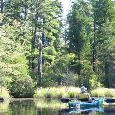
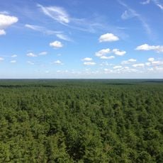
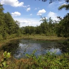
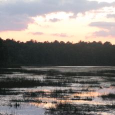
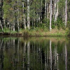
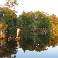
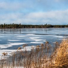
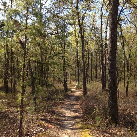
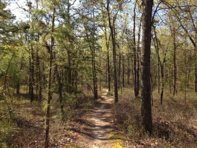
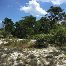
Batona Trail is a long-distance hiking route that runs through dense pine forests across three state forests in New Jersey's Pine Barrens. The path covers sandy soil with varying plant life and connects different areas of the woodland.

The original 30-mile section was built by the Batona Hiking Club in 1961, connecting Carpenter Spring in Lebanon State Forest to Batsto Village. Since then it has become a main way for people to reach the deeper woodland areas of the region.

The trail passes by the Carranza Memorial, where yearly ceremonies honor a Mexican aviator who crashed here in 1928 during a goodwill flight. Visitors can witness how this historical event continues to hold meaning for the local community.

Four marked campgrounds along the route let hikers break the journey into segments of one to five days based on their pace. Visitors should be ready for some stretches between camps that can feel longer than expected.

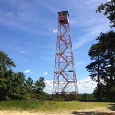
Apple Pie Hill marks the highest point along the trail and offers views across the eastern metropolitan region. On clear days, hikers can see from this overlook across many of the populated areas to the east.

The community of curious travelers

AroundUs brings together thousands of curated places, local tips, and hidden gems, enriched daily by 60,000 contributors worldwide.
Start exploring
Location
Reference
BT
Operator
NJ State Park Service;Outdoor Club of South Jersey;BATONA Hiking Club
Color
pink
GPS coordinates
39.72520,-74.66496
Latest update
September 17, 2026 05:22
Around this place
Pine Barrens
United States of America

Pine Barrens

4.8 mi
Wharton State Forest
United States of America

Wharton State Forest

1.6 mi
Atlantic coastal pine barrens
United States of America

Atlantic coastal pine barrens

20.9 mi
Apple Pie Hill
United States of America

Apple Pie Hill

7 mi
Brendan T. Byrne State Forest
United States of America

Brendan T. Byrne State Forest

12.3 mi
Bass River State Forest
United States of America

Bass River State Forest

14.7 mi
Popcorn Park Zoo
United States of America

Popcorn Park Zoo

22 mi
Penn State Forest
United States of America

Penn State Forest

10.8 mi
St. Mary of the Lakes Catholic Church
United States of America

St. Mary of the Lakes Catholic Church

12.1 mi
Dennisville Historic District
United States of America

Dennisville Historic District

9.6 mi
Bishop-Irick Farmstead
United States of America

Bishop-Irick Farmstead

15.4 mi
Morris Mansion and Mill
United States of America

Morris Mansion and Mill

17 mi
Lake Atsion
United States of America

Lake Atsion

3.8 mi
Chatsworth Lake
United States of America

Chatsworth Lake

9 mi
Pemberton Historic District
United States of America

Pemberton Historic District

17 mi
Ong's Hat
United States of America

Ong's Hat

13.1 mi
United States of America

Historic Whitesbog Village

18.2 mi
United States of America

Cedar Bridge Tavern County Historic Site

16.7 mi
United States of America

Batsto Historical Village

5.7 mi
United States of America

Group Campground

14.8 mi
United States of America

Tower, Observation tower, scenic viewpoint

7.9 mi
United States of America

Scenic viewpoint

3 mi
United States of America

Scenic View - Pakim Pond

12.9 mi
United States of America

Scenic viewpoint

8 mi
United States of America

Scenic viewpoint

4.4 mi
United States of America

Scenic viewpoint

5.1 mi
United States of America

Scenic viewpoint

13.8 mi
United States of America

Monument featuring aircraft

13.5 mi
Show the full map
Reviews
Share your experience

No review yet

Discussions
Start a discussion...

No discussion yet

« Batona Trail - Long-distance hiking trail in Pine Barrens, New Jersey, United States » is provided by Around Us (aroundus.com). Images and texts are derived from Wikimedia project under a Creative Commons license. You are allowed to copy, distribute, and modify copies of this page, under the conditions set by the license, as long as this note is clearly visible.

Discover hidden gems everywhere you go!

From secret cafés to breathtaking viewpoints, skip the crowded tourist spots and find places that match your style. Our app makes it easy with voice search, smart filtering, route optimization, and insider tips from travelers worldwide. Download now for the complete mobile experience.

Around Us App Screenshot
❝

A unique approach to discovering new places❞

— Le Figaro

❝

All the places worth exploring❞

— France Info

❝

A tailor-made excursion in just a few clicks❞

— 20 Minutes

Around Us
Travel Guide & Maps
Download

Send to your phone

QR Code
1

Open the camera app on your mobile.

2

Point at the QR code with your camera. A notification will appear.

3

Tap the notification to open the link.