Maynardville, city in Tennessee, United States
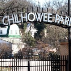
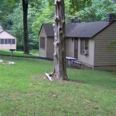
Maynardville is a small town in Union County, Tennessee, that is part of the broader Knoxville area. The buildings are simple and practical, creating a sense of neighborliness, and several parks nearby offer places for people to enjoy nature and spend time outdoors.
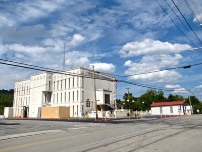
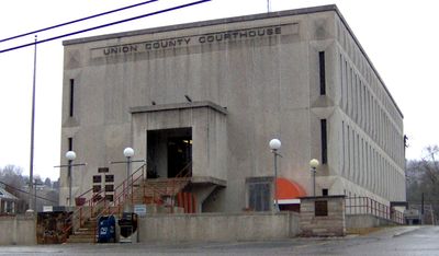
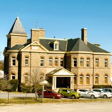
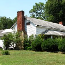
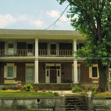
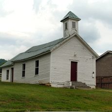
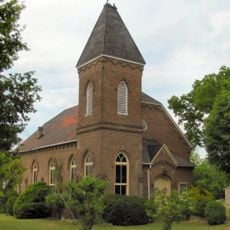
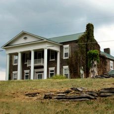
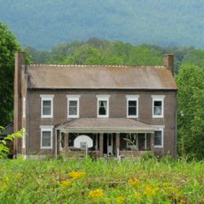
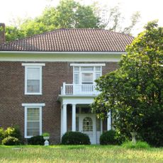
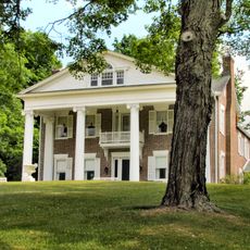
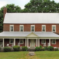
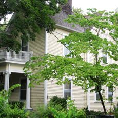
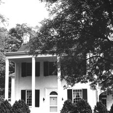
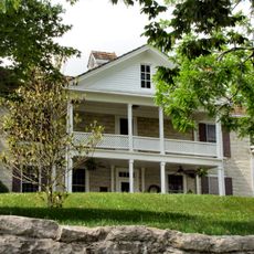
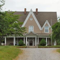
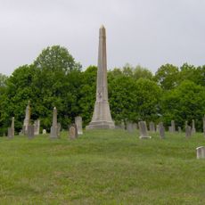
The town has roots stretching back through generations of farming and community gatherings that shaped local life. Old buildings still stand as reminders of its past and the people and events that helped define the place over time.
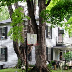
The town's name reflects its rural roots and local heritage. You can see neighbors gathering on porches, children playing outside, and regular community events throughout the year that show how much residents value staying connected and looking out for one another.
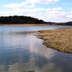
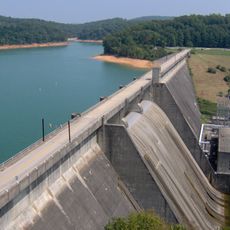
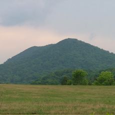
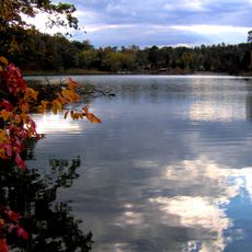
The area is easy to walk through and explore on foot, with roads that lead to nearby forests, lakes, and open fields. Being part of the broader Knoxville region means extra services and amenities are not far away if you need them.
The pace of daily life here is deliberately slow and gentle, showing how residents go about their routines in a rhythm that differs from faster-paced larger cities. Many people work locally or run small businesses, which strengthens the sense of a grounded and connected community.
The community of curious travelers
AroundUs brings together thousands of curated places, local tips, and hidden gems, enriched daily by 60,000 contributors worldwide.