
Peacham, town in Vermont
Location: Caledonia County
Elevation above the sea: 465 m
GPS coordinates: 44.33296,-72.20665
Latest update: March 8, 2025 06:55
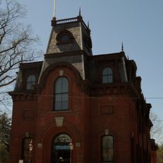
St. Johnsbury Athenaeum
17.6 km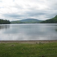
Harvey's Lake
7 km
Comerford Reservoir
16.4 km
Groton State Forest
9.3 km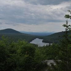
Kettle Pond State Park
9.1 km
Greenbanks Hollow Covered Bridge
8.3 km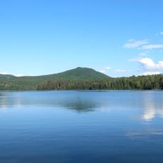
Molly's Falls Pond State Park
8.4 km
Ricker Pond State Park
10.4 km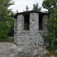
New Discovery State Park
6.8 km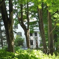
Elkins Tavern
3.4 km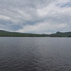
Stillwater State Park
7.9 km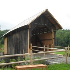
Martin Covered Bridge
16.8 km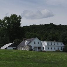
Whitehill House
8 km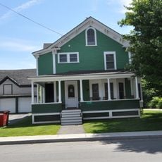
Caleb H. Marshall House
17.7 km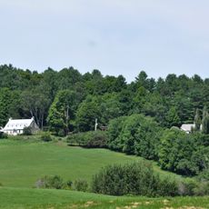
William and Agnes Gilkerson Farm
17.1 km
McIndoes Academy
13.7 km
Christian Union Society Meetinghouse
17.6 km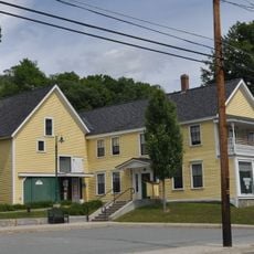
Alice Lord Goodine House
13.7 km
Whittier House
8.4 km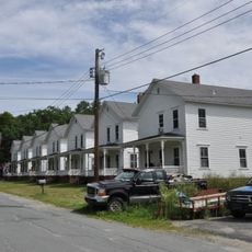
Lind Houses
17.3 km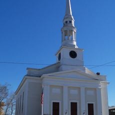
St. Johnsbury Main Street Historic District
17.6 km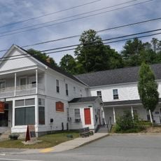
J. R. Darling Store
13.5 km
Barnet Center Historic District
9.9 km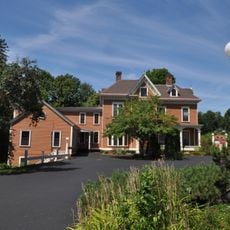
Franklin Fairbanks House
17.1 km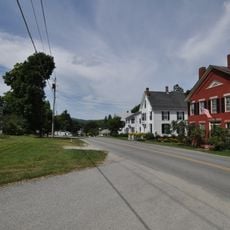
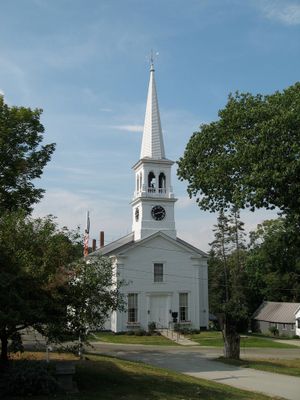
Peacham Corner Historic District
2.8 km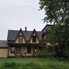
Theodore Wood House
16.9 km
Phineas Thurston House
14.9 km
Peacham
2.9 kmVisited this place? Tap the stars to rate it and share your experience / photos with the community! Try now! You can cancel it anytime.
Discover hidden gems everywhere you go!
From secret cafés to breathtaking viewpoints, skip the crowded tourist spots and find places that match your style. Our app makes it easy with voice search, smart filtering, route optimization, and insider tips from travelers worldwide. Download now for the complete mobile experience.

A unique approach to discovering new places❞
— Le Figaro
All the places worth exploring❞
— France Info
A tailor-made excursion in just a few clicks❞
— 20 Minutes