Bethel, town in Oxford County, Maine, USA
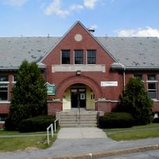
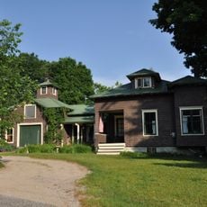
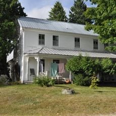
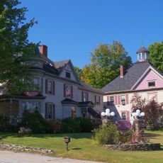
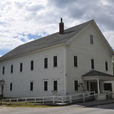
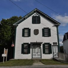
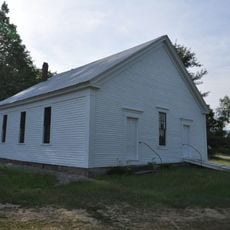
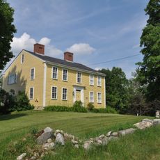
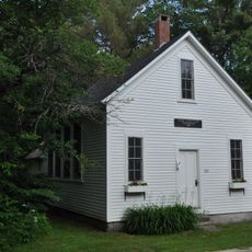
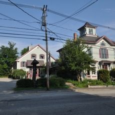
Bethel is a small town in Oxford County, Maine, located in a quiet mountain area. The center is defined by old, well-maintained buildings with winding streets framed by forested hills and views of the surrounding mountains. The town does not spread far, making it easy to get around on foot or by bike.
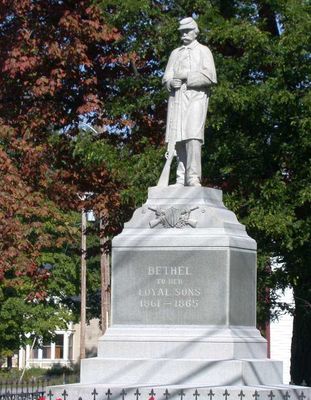
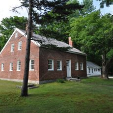
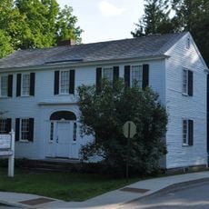
Bethel was founded in the late 1700s after war veterans received land and began establishing farms. During the 19th century, the town grew through railroad expansion and became a fashionable summer destination for wealthy visitors who stayed in upscale hotels.
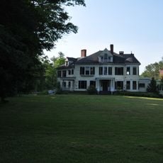
The name Bethel comes from the Bible and means 'House of God'. During the 19th century, the town became a popular summer retreat where wealthy visitors stayed in grand hotels and enjoyed mountain views. Today, small shops and local cafes line the streets, creating spaces where visitors naturally meet residents and experience the down-to-earth culture of the region.
The town is small and easy to explore on foot, with a main street full of shops and restaurants to browse. Its proximity to Sunday River Ski Resort makes it a good base for outdoor activities year-round, whether skiing in winter or hiking in summer.
A large beryl crystal was found at the nearby Bumpus Mine and is now displayed at the American Museum of Natural History in New York. This discovery makes Bethel special for rock collectors and geology enthusiasts who appreciate the town's hidden mineral heritage.
The community of curious travelers
AroundUs brings together thousands of curated places, local tips, and hidden gems, enriched daily by 60,000 contributors worldwide.