Enable Location

We need your location to show you interesting places around you

Discover nearby places

Find interesting locations and hidden gems around you

Precise directions

Get accurate directions and distances to places

Your location is never shared with other users. It's only used when you tap the location button.

Log in to your account

Start exploring — it's free

Trusted by 64,576 travelers worldwide

Continue with Google
Continue with Apple
or

We will send you a code to connect

By continuing, you accept our Terms and Conditions and our Privacy Policy

Check your inbox

We've sent a pincode in your inbox. Please enter the code below.

Discussion Reviews Photo
15.5k Popularity

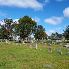
Flat Rock, village in Henderson County, North Carolina

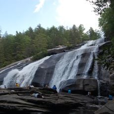
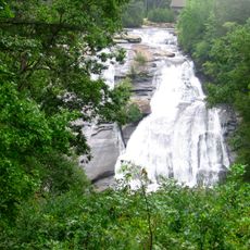
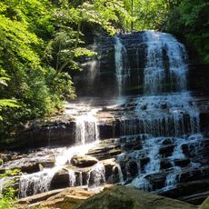
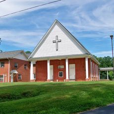
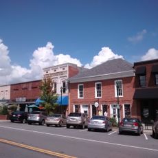
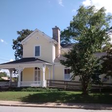
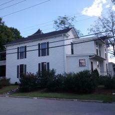
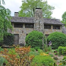
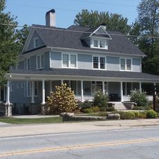
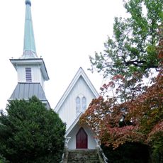
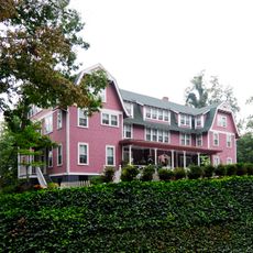
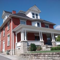
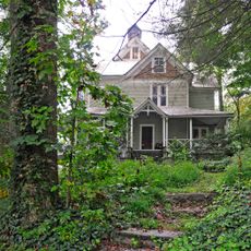
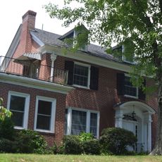
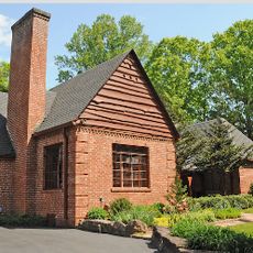
Flat Rock is a small village in the mountains of North Carolina built around large granite formations that give it its name. Located above 2400 meters elevation, the village features winding streets lined with well-preserved historic buildings and tree-filled residential yards.

The Cherokee used Flat Rock as a gathering place for trade and dispute settlement long ago, and the Saluda Indian Path, an important trade route, passed through the area. European settlers arrived in the late 1700s, followed the old paths, and built mills, taverns, and later grand summer estates for wealthy visitors during the 1800s.

The village developed as a summer retreat for wealthy families from South Carolina seeking cool mountain air. This heritage shapes the community today with stately homes and an active arts scene centered on theater and cultural events.

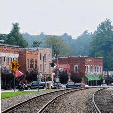
The village is compact and walkable with streets that reveal historic buildings and natural surroundings at a comfortable pace. Its location between Hendersonville and Asheville makes it convenient to visit as a day trip or base for exploring the surrounding mountain region.

The renowned poet Carl Sandburg lived here at his estate called Rock Hill, bringing literary fame to the village. The Flat Rock Playhouse evolved into North Carolina's state theater and continues to draw audiences for performances throughout the year.

The community of curious travelers

AroundUs brings together thousands of curated places, local tips, and hidden gems, enriched daily by 60,000 contributors worldwide.

Start exploring
Location
Elevation above the sea
672 m
GPS coordinates
35.26670,-82.45330
Latest update
February 20, 2026 00:01
Around this place
DuPont State Forest
United States of America

DuPont State Forest

15 km
Triple Falls
United States of America

Triple Falls

16.7 km
Poinsett Bridge
United States of America

Poinsett Bridge

16.5 km
Hooker Falls
United States of America

Hooker Falls

17.1 km
High Falls
United States of America

High Falls

16.7 km
Pearson's Falls
United States of America

Pearson's Falls

12.2 km
Henderson County Courthouse
United States of America

Henderson County Courthouse

5.4 km
Holmes Educational State Forest
United States of America

Holmes Educational State Forest

11.5 km
Oakdale Cemetery
United States of America

Oakdale Cemetery

6.2 km
Mineral and Lapidary Museum
United States of America

Mineral and Lapidary Museum

5.6 km
St. John in the Wilderness
United States of America

St. John in the Wilderness

2 km
Flat Rock Historic District
United States of America

Flat Rock Historic District

923 m
Erle Stillwell House
United States of America

Erle Stillwell House

6.2 km
Mills River Chapel
United States of America

Mills River Chapel

17.3 km
Main Street Historic District
United States of America

Main Street Historic District

5.6 km
Reese House
United States of America

Reese House

5.2 km
King-Waldrop House
United States of America

King-Waldrop House

5.4 km
Dillard B. and Georgia Sewell House
United States of America

Dillard B. and Georgia Sewell House

13.7 km
Mary Mills Coxe House
United States of America

Mary Mills Coxe House

3.4 km
Church of the Transfiguration
United States of America

Church of the Transfiguration

10.3 km
Ryder Hall
United States of America

Ryder Hall

10.5 km
Clarke-Hobbs-Davidson House
United States of America

Clarke-Hobbs-Davidson House

5.7 km
Charlton Leland
United States of America

Charlton Leland

10 km
West Side Historic District
United States of America

West Side Historic District

5.6 km
Seventh Avenue Depot District
United States of America

Seventh Avenue Depot District

6.1 km
Erle Stillwell House II
United States of America

Erle Stillwell House II

6.1 km
Saluda Main Street Historic District
United States of America

Saluda Main Street Historic District

10.1 km
Fox Theatre
United States of America

Fox Theatre

5.7 km
Show the full map
Reviews
Share your experience

No review yet

Discussions
Start a discussion...

No discussion yet

« Flat Rock - village in Henderson County, North Carolina » is provided by Around Us (aroundus.com). Images and texts are derived from Wikimedia project under a Creative Commons license. You are allowed to copy, distribute, and modify copies of this page, under the conditions set by the license, as long as this note is clearly visible.

Discover hidden gems everywhere you go!

From secret cafés to breathtaking viewpoints, skip the crowded tourist spots and find places that match your style. Our app makes it easy with voice search, smart filtering, route optimization, and insider tips from travelers worldwide. Download now for the complete mobile experience.

Around Us App Screenshot

A unique approach to discovering new places

Le Figaro

All the places worth exploring

France Info

A tailor-made excursion in just a few clicks

20 Minutes

Around Us
Travel Guide & Maps
Download

Send to your phone

QR Code
1

Open the camera app on your mobile.

2

Point at the QR code with your camera. A notification will appear.

3

Tap the notification to open the link.