Enable Location

We need your location to show you interesting places around you

Discover nearby places

Find interesting locations and hidden gems around you

Precise directions

Get accurate directions and distances to places

Your location is never shared with other users. It's only used when you tap the location button.

Henderson County

Log in to your account

Start exploring — it's free

Trusted by 62,504 travelers worldwide

Continue with Google
Continue with Apple
or

We will send you a code to connect

By continuing, you accept our Terms and Conditions and our Privacy Policy

Check your inbox

We've sent a pincode in your inbox. Please enter the code below.

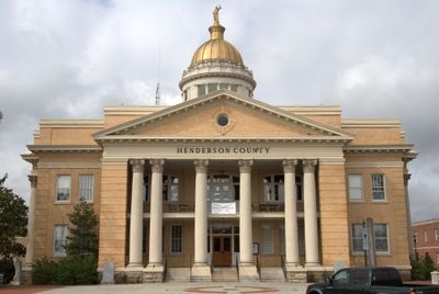
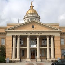
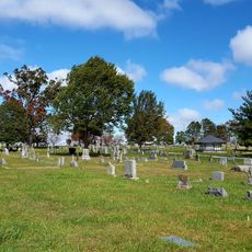
Henderson County, Administrative division in western North Carolina, United States.

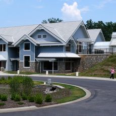
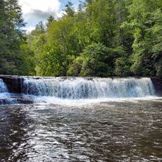
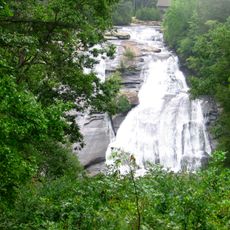
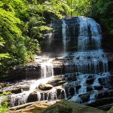
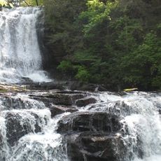
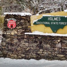
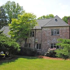
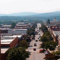
Henderson County is an administrative division in western North Carolina spanning approximately 971 square kilometers. The area features rolling hills, forests, and waterways, with Hendersonville serving as its county seat.

The county was established in 1838 by the North Carolina General Assembly and named after Leonard Henderson, Chief Justice of the North Carolina Supreme Court. This naming honored a significant judicial figure of that era.

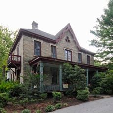
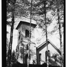
The Carl Sandburg National Historic Site within Henderson County preserves the residence of the American poet and contains exhibits about his literary works.

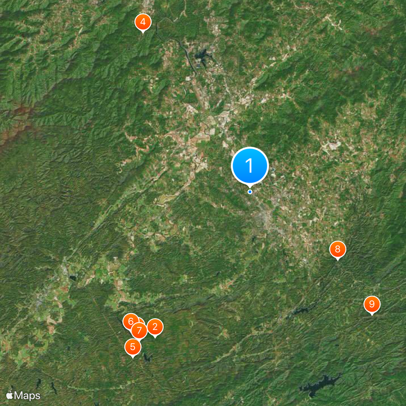
The county is divided into eight distinct townships, with administration centered in Hendersonville. From this hub, it is convenient to access the surrounding natural areas and outdoor recreation opportunities.

The county is home to the Carl Sandburg National Historic Site, which preserves the residence of the American poet along with his literary collections. This property offers insight into the life of a major 20th-century American writer.

The community of curious travelers

AroundUs brings together thousands of curated places, local tips, and hidden gems, enriched daily by 60,000 contributors worldwide.

Start exploring
Location
Inception
1838
Capital city
Hendersonville
Shares border with
Buncombe County, Rutherford County, Polk County, Greenville County, Transylvania County, Haywood County
GPS coordinates
35.34000,-82.48000
Latest update
December 20, 2025 12:50
Around this place
DuPont State Forest
United States of America

DuPont State Forest

19 km
Triple Falls
United States of America

Triple Falls

20.1 km
North Carolina Arboretum
United States of America

North Carolina Arboretum

21.1 km
Bridal Veil Falls
United States of America

Bridal Veil Falls

22.2 km
Hooker Falls
United States of America

Hooker Falls

20.2 km
High Falls
United States of America

High Falls

20.4 km
United States of America

Peter Guice Memorial Bridge

12.2 km
Pearson's Falls
United States of America

Pearson's Falls

19 km
United States of America

Kanuga Conference Center

9.5 km
Henderson County Courthouse
United States of America

Henderson County Courthouse

3.4 km
Connestee Falls and Batson Creek Falls
United States of America

Connestee Falls and Batson Creek Falls

30.1 km
Key Falls
United States of America

Key Falls

20.6 km
Holmes Educational State Forest
United States of America

Holmes Educational State Forest

14.1 km
Blake House
United States of America

Blake House

15.3 km
United States of America

Gwynn Valley

30.3 km
Oakdale Cemetery
United States of America

Oakdale Cemetery

2.3 km
Mineral and Lapidary Museum
United States of America

Mineral and Lapidary Museum

3.1 km
Robinson Rock House Ruin and Plantation Site
United States of America

Robinson Rock House Ruin and Plantation Site

22.7 km
St. John in the Wilderness
United States of America

St. John in the Wilderness

7.2 km
The Cedars
United States of America

The Cedars

2.8 km
Flat Rock Historic District
United States of America

Flat Rock Historic District

7.8 km
The Waverly
United States of America

The Waverly

2.7 km
The Meadows
United States of America

The Meadows

10.8 km
United States of America

Camp Arrowhead

14.1 km
Sherrill's Inn
United States of America

Sherrill's Inn

19.9 km
Erle Stillwell House
United States of America

Erle Stillwell House

2.4 km
United States of America

Cold Spring Park Historic District

2.4 km
United States of America

Arthur W. Moore House

3.4 km
Show the full map
Administrative divisions
« Henderson County - Administrative division in western North Carolina, United States » is provided by Around Us (aroundus.com). Images and texts are derived from Wikimedia project under a Creative Commons license. You are allowed to copy, distribute, and modify copies of this page, under the conditions set by the license, as long as this note is clearly visible.

Discover hidden gems everywhere you go!

From secret cafés to breathtaking viewpoints, skip the crowded tourist spots and find places that match your style. Our app makes it easy with voice search, smart filtering, route optimization, and insider tips from travelers worldwide. Download now for the complete mobile experience.

Around Us App Screenshot

A unique approach to discovering new places

Le Figaro

All the places worth exploring

France Info

A tailor-made excursion in just a few clicks

20 Minutes

Around Us
Travel Guide & Maps
Download

Send to your phone

QR Code
1

Open the camera app on your mobile.

2

Point at the QR code with your camera. A notification will appear.

3

Tap the notification to open the link.