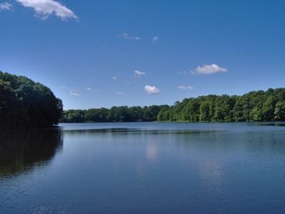
Farrington Lake, body of water
Farrington Lake is a reservoir in Middlesex County, New Jersey, formed by a dam built across Lawrence Brook. It sits among residential neighborhoods, parks, and open natural areas, fed by several small tributary streams.
The reservoir was developed in the early 20th century to supply drinking water and reduce flooding in Middlesex County. Mayor Farrington, who gave the lake its name, died while still in office before the work was finished.
The lake takes its name from Edward Farrington, a mayor who pushed the project forward in the early 20th century. Today, fishing from the banks and paddling on the water are the activities locals return to season after season.
A public boat ramp lets visitors put small boats and kayaks in the water, though only electric motors are allowed on the lake. There are no major facilities nearby, so it is best to arrive with everything you need.
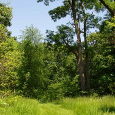
The lake feeds into a water system connected to the Raritan River, collecting runoff from streams such as Ireland Brook and Beaverdam Brook. This drainage network plays a quiet but real role in protecting the surrounding land during heavy rain.
The community of curious travelers
AroundUs brings together thousands of curated places, local tips, and hidden gems, enriched daily by 60,000 contributors worldwide.