Enable Location

We need your location to show you interesting places around you

Discover nearby places

Find interesting locations and hidden gems around you

Precise directions

Get accurate directions and distances to places

Your location is never shared with other users. It's only used when you tap the location button.

Log in to your account

Start exploring — it's free

Trusted by 60,652 travelers worldwide

Continue with Google
Continue with Apple
or

We will send you a code to connect

By continuing, you accept our Terms and Conditions and our Privacy Policy

Check your inbox

We've sent a pincode in your inbox. Please enter the code below.

Fort Cass

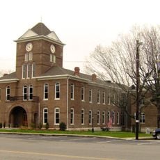
Fort Cass, Military fort in Charleston, Tennessee
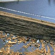
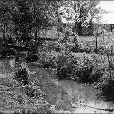
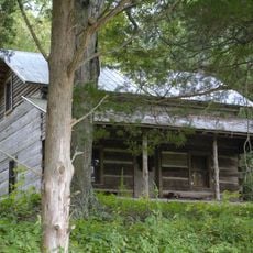
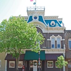
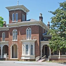
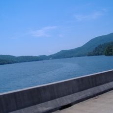
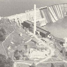
Description

Fort Cass was a military installation that stretched across present-day Charleston and the surrounding countryside. The fort sat south of the Hiwassee River along a main route and functioned as a holding point for thousands of people.

History

The location started in 1819 as a federal administrative center for Indian affairs before becoming a military post in 1835. This shift reflected changing government policies toward indigenous peoples.

Culture

The site marks where thousands of Cherokee were held in nine separate camps during summer 1838. Walking through the area, visitors can grasp the scale of confinement before the forced journey westward began.

Practical

The site covers a wide area best explored on foot along the landscape near the river. Wear comfortable shoes and bring weather protection since the terrain spans several miles.

Did you know?

The fort contained nine separate camps where people were confined under harsh conditions. This camp layout was designed to manage the mass movement that would follow.

Location
GPS coordinates
35.28660,-84.75500
Latest update
December 11, 2025 11:01

AroundUs brings together thousands of curated places, local tips, and hidden gems, enriched daily by 60,000 contributors worldwide. Discover all places nearby (Tennessee).

Around this place
Ocoee Dam No. 2
United States of America

Ocoee Dam No. 2

33 km
Rhea County Courthouse
United States of America

Rhea County Courthouse

32.9 km
Rattlesnake Springs
United States of America

Rattlesnake Springs

11.6 km
Nancy Ward Tomb
United States of America

Nancy Ward Tomb

15.2 km
Hair Conrad Cabin
United States of America

Hair Conrad Cabin

19.7 km
St. Luke's Episcopal Church
United States of America

St. Luke's Episcopal Church

17.7 km
Henegar House
United States of America

Henegar House

26 m
Oswald Dome
United States of America

Oswald Dome

20.8 km
United States of America

Museum Center at Five Points

18 km
Broad Street United Methodist Church
United States of America

Broad Street United Methodist Church

18.6 km
Craigmiles Hall
United States of America

Craigmiles Hall

17.8 km
Centenary Avenue Historic District
United States of America

Centenary Avenue Historic District

17.2 km
P.M. Craigmiles House
United States of America

P.M. Craigmiles House

18.4 km
Clear Springs Cumberland Presbyterian Church
United States of America

Clear Springs Cumberland Presbyterian Church

6.2 km
Ocoee Street Historic District
United States of America

Ocoee Street Historic District

16.7 km
First United Presbyterian Church
United States of America

First United Presbyterian Church

22.9 km
W.J. Hughes Business House
United States of America

W.J. Hughes Business House

17.9 km
Polk County Courthouse
United States of America

Polk County Courthouse

15.6 km
Copeland House
United States of America

Copeland House

23.8 km
Broyles-Darwin House
United States of America

Broyles-Darwin House

32.6 km
Cleveland Commercial Historic District
United States of America

Cleveland Commercial Historic District

17.9 km
Dr. Walter Thomison House
United States of America

Dr. Walter Thomison House

32.7 km
Meigs County Courthouse
United States of America

Meigs County Courthouse

25.6 km
Fillauer Brothers Building
United States of America

Fillauer Brothers Building

17.9 km
William Wiggins House
United States of America

William Wiggins House

15.6 km
Lake Ocoee
United States of America

Lake Ocoee

24.8 km
Ocoee Dam No. 1
United States of America

Ocoee Dam No. 1

23.4 km
Rhea County Court House Historic landmark
United States of America

Rhea County Court House Historic landmark

32.9 km
Show the full map
« Fort Cass - Military fort in Charleston, Tennessee » is provided by Around Us (aroundus.com). Images and texts are derived from Wikimedia project under a Creative Commons license. You are allowed to copy, distribute, and modify copies of this page, under the conditions set by the license, as long as this note is clearly visible.

Discover hidden gems everywhere you go!

From secret cafés to breathtaking viewpoints, skip the crowded tourist spots and find places that match your style. Our app makes it easy with voice search, smart filtering, route optimization, and insider tips from travelers worldwide. Download now for the complete mobile experience.

Around Us App Screenshot

A unique approach to discovering new places

Le Figaro

All the places worth exploring

France Info

A tailor-made excursion in just a few clicks

20 Minutes

Around Us
Travel Guide & Maps
Download

Send to your phone

QR Code
1

Open the camera app on your mobile.

2

Point at the QR code with your camera. A notification will appear.

3

Tap the notification to open the link.