Geography of Guam, conjunto de características físicas de Guam
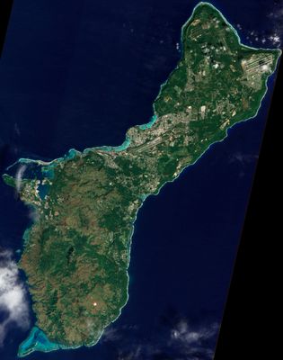
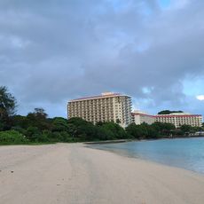
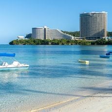
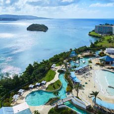
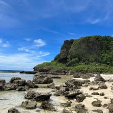
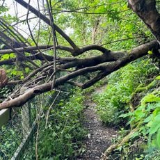
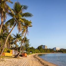
The geography of Guam describes the physical structure of this Pacific island, which covers about 550 square kilometers (212 square miles) and consists of multiple smaller islands. The terrain varies between limestone plateaus in the north, mountainous regions in the south, and flat coastal zones used for settlements and daily activities.
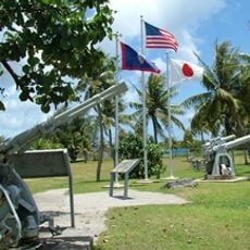
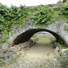
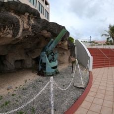
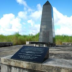
The island was inhabited thousands of years ago by Polynesian and Micronesian settlers, later colonized by Spain, which shaped its culture and language. In the 20th century it came under US control and has served as a strategic Pacific outpost since then.
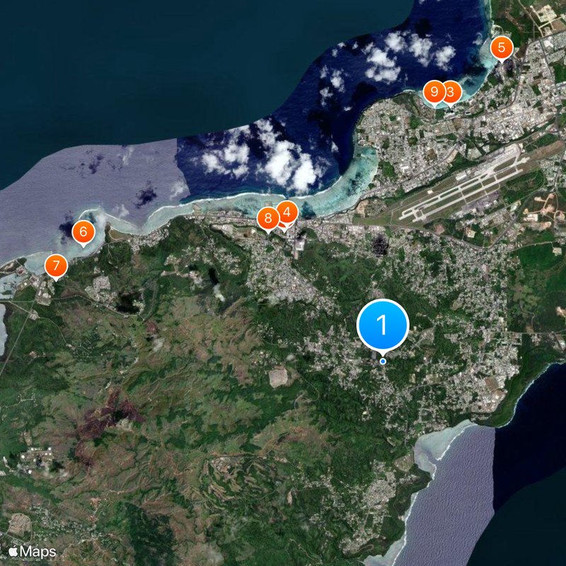
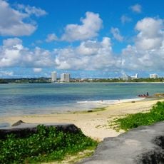
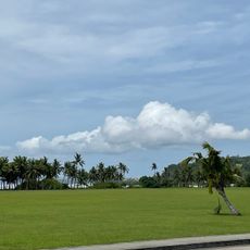
The best way to understand the island's physical layout is to visit Hagatna in the center, from which north-south differences become visible. A car is helpful for exploring the different landscapes and coastal regions.
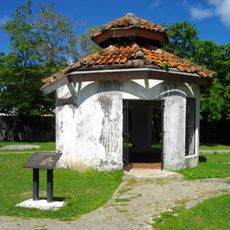
The Chamorro people, the island's original inhabitants, have preserved a unique culture that blends Polynesian traditions with Spanish influences. This mix shows up in everyday details such as place names and family names, as well as in local festivals and customs.
The community of curious travelers
AroundUs brings together thousands of curated places, local tips, and hidden gems, enriched daily by 60,000 contributors worldwide.