Chest opened
+${chestReward.xp} XP
Explorer
NOUVEAU ×${chestReward.collectible.quantity}
tapez pour fermer

See the monuments around you in AR Open chests in the app

Around Us is built for your phone — point your camera at the streets and discover the monuments and places around you in augmented reality. Around Us is built for your phone — chests unlock when you walk, explore and capture nearby places.

Enable Location

We need your location to show you interesting places around you

Discover nearby places

Find interesting locations and hidden gems around you

Precise directions

Get accurate directions and distances to places

Your location is never shared with other users. It's only used when you tap the location button.

Log in to your account

Start exploring — it's free

Trusted by 85,046 travelers worldwide

Continue with Google
Continue with Apple
or

We will send you a code to connect

By continuing, you accept our Terms and Conditions and our Privacy Policy

Check your inbox

We've sent a pincode in your inbox. Please enter the code below.

Harsens Island
Discussion Reviews Photo
19.5k Popularity

Harsens Island, River island in Michigan, US

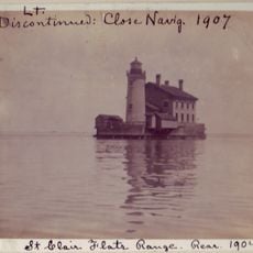
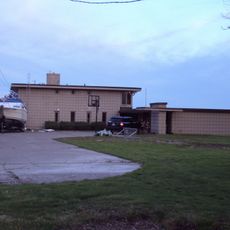
Harsens Island is a river island located in the St. Clair River delta, featuring wetland areas, oak forests, and open prairie landscapes. The terrain combines water channels, wooded sections, and natural meadows across its expanse.

The island was first settled by Europeans in the late 1700s and was named after one of the early landowners. It developed as a settlement during the period of border formation between Canada and the United States.

The State of Michigan manages seventy-five percent of the island territory, maintaining wildlife sanctuaries and implementing waterfowl management programs throughout the protected areas.

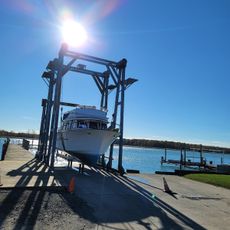
The island is reached by automobile ferry from the mainland. On arrival, visitors find restaurants, shops, galleries, and waterfront docks throughout the community.

The island sits within North America's largest freshwater delta and draws hundreds of thousands of migrating birds during seasonal transitions. Birdwatchers and nature enthusiasts visit during these peak times to observe the arriving and departing flocks.

The community of curious travelers

AroundUs brings together thousands of curated places, local tips, and hidden gems, enriched daily by 60,000 contributors worldwide.
Start exploring
Location
GPS coordinates
42.59000,-82.55139
Latest update
August 30, 2026 16:22
Around this place
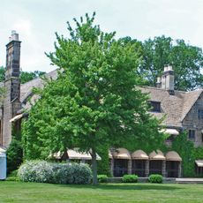
Edsel and Eleanor Ford House
United States of America

Edsel and Eleanor Ford House

18.7 mi
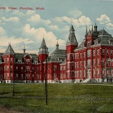
Clinton Valley Center
United States of America

Clinton Valley Center

39.4 mi
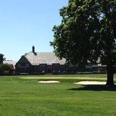
Country Club of Detroit
United States of America

Country Club of Detroit

21.3 mi
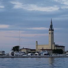
Grosse Pointe Yacht Club
United States of America

Grosse Pointe Yacht Club

19.6 mi
C.J. Barrymore's
United States of America

C.J. Barrymore's

17.7 mi
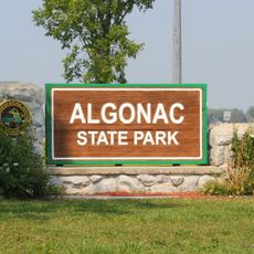
Algonac State Park
United States of America

Algonac State Park

4.4 mi
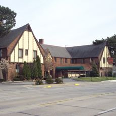
St. Clair Inn
United States of America

St. Clair Inn

16.8 mi
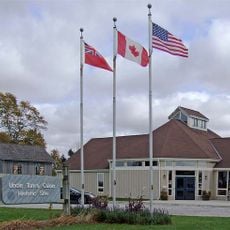
Uncle Tom's Cabin Historic Site
Canada

Uncle Tom's Cabin Historic Site

18.1 mi
St. Clair Flats Front and Rear Range Light
United States of America

St. Clair Flats Front and Rear Range Light

8.2 mi
Tashmoo Park
United States of America

Tashmoo Park

1.1 mi
Emerald Theatre
United States of America

Emerald Theatre

16.7 mi
Peche Island Rear Range Light
United States of America

Peche Island Rear Range Light

9.3 mi
Wallaceburg and District Museum
Canada

Wallaceburg and District Museum

9.4 mi
Marine City Water Works
United States of America

Marine City Water Works

9.3 mi
Marine City City Hall
United States of America

Marine City City Hall

9.4 mi
LeRoy Smith House
United States of America

LeRoy Smith House

4.1 mi
First Congregational Church
United States of America

First Congregational Church

18.8 mi
Wadhams Road–Pine River Bridge
United States of America

Wadhams Road–Pine River Bridge

19.5 mi
Ward–Holland House
United States of America

Ward–Holland House

9.8 mi
Vernier Street–Swan Creek Bridge
United States of America

Vernier Street–Swan Creek Bridge

8.3 mi
Accretion Beach
United States of America

Accretion Beach

21.1 mi
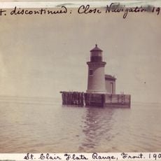
St. Clair Flats Range Front Light
United States of America

St. Clair Flats Range Front Light

8.1 mi
Lake St. Clair light
United States of America

Lake St. Clair light

13.5 mi
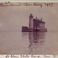
St. Clair Flats Rear Range Light
United States of America

St. Clair Flats Rear Range Light

7.9 mi
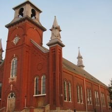
Church of the Annunciation
Canada

Church of the Annunciation

19.8 mi
Edsel and Eleanor Ford House Museum
United States of America

Edsel and Eleanor Ford House Museum

18.9 mi
Michigan Transit Museum
United States of America

Michigan Transit Museum

17.4 mi
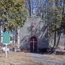
Kolping Park and Chapel
United States of America

Kolping Park and Chapel

6.5 mi
Show the full map
Reviews
Share your experience

No review yet

Discussions
Start a discussion...

No discussion yet

« Harsens Island - River island in Michigan, US » is provided by Around Us (aroundus.com). Images and texts are derived from Wikimedia project under a Creative Commons license. You are allowed to copy, distribute, and modify copies of this page, under the conditions set by the license, as long as this note is clearly visible.

Discover hidden gems everywhere you go!

From secret cafés to breathtaking viewpoints, skip the crowded tourist spots and find places that match your style. Our app makes it easy with voice search, smart filtering, route optimization, and insider tips from travelers worldwide. Download now for the complete mobile experience.
Around Us App Screenshot

A unique approach to discovering new places

Le Figaro

All the places worth exploring

France Info

A tailor-made excursion in just a few clicks

20 Minutes

Around Us
Travel Guide & Maps
Download

Send to your phone

QR Code
1

Open the camera app on your mobile.

2

Point at the QR code with your camera. A notification will appear.

3

Tap the notification to open the link.