Enable Location

We need your location to show you interesting places around you

Discover nearby places

Find interesting locations and hidden gems around you

Precise directions

Get accurate directions and distances to places

Your location is never shared with other users. It's only used when you tap the location button.

Harlem Valley Rail Trail

Log in to your account

Start exploring — it's free

Trusted by 63,004 travelers worldwide

Continue with Google
Continue with Apple
or

We will send you a code to connect

By continuing, you accept our Terms and Conditions and our Privacy Policy

Check your inbox

We've sent a pincode in your inbox. Please enter the code below.

Harlem Valley Rail Trail
Discussion Reviews 1 Photos
3.7k Popularity

Harlem Valley Rail Trail, paved rail trail in New York, US

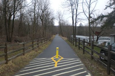
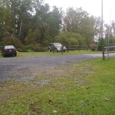
The Harlem Valley Rail Trail is a roughly 20-mile walking and biking path that runs through the countryside following an old railroad line. The flat and smooth surface makes it accessible to most visitors, with about 20 access points scattered along its length, allowing you to start or finish almost anywhere you choose.

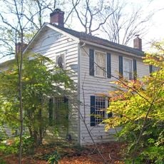
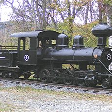
The trail follows the route of the old New York and Harlem Railroad, which once connected the region and helped towns grow by carrying people and goods. When the railway line was no longer in use, the tracks were converted into this public walking path, keeping the history of rail transport alive while serving a new purpose today.

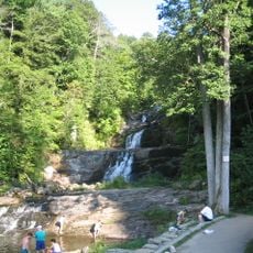
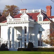
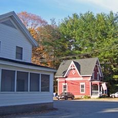
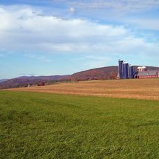
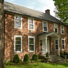
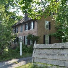
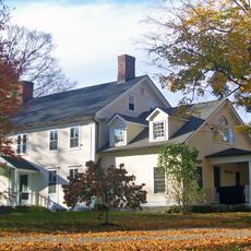
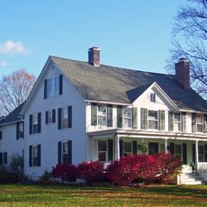
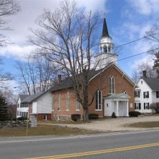
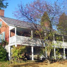
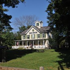
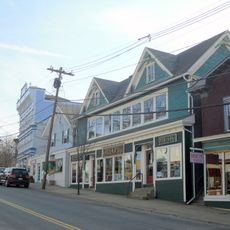
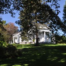
The trail serves as a gathering space for local residents and connects the small towns nearby through shared outdoor activities. You can see how it fits into everyday community life, with nearby farmhouses and local shops where people stop to rest or browse.

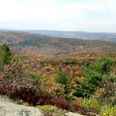
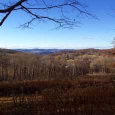
The trail is open year-round, with conditions that change by season: summer brings tree shade, fall offers colorful leaves, and winter can bring snow cover. Wear sturdy shoes and dress for the weather, as you will be exposed to elements while walking through open fields and wooded sections.

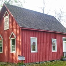
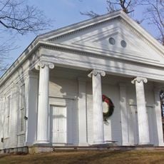
You can spot remnants of the old railroad scattered along the path, including abandoned tracks and weathered station signs that tell stories of when trains connected the towns. These physical traces from the past add a layer of history that you discover naturally while walking.

The community of curious travelers

AroundUs brings together thousands of curated places, local tips, and hidden gems, enriched daily by 60,000 contributors worldwide.

Start exploring
Location
GPS coordinates
41.84806,-73.54944
Latest update
February 9, 2026 08:24
Around this place
Kent Falls State Park
United States of America

Kent Falls State Park

14.1 km
Macedonia Brook State Park
United States of America

Macedonia Brook State Park

10 km
Beth David Synagogue
United States of America

Beth David Synagogue

454 m
Hiddenhurst
United States of America

Hiddenhurst

6.3 km
Beekman Park
United States of America

Beekman Park

1.1 km
Sharon Valley Historic District
United States of America

Sharon Valley Historic District

6.2 km
Lewis Mumford House
United States of America

Lewis Mumford House

3.2 km
Coleman Station Historic District
United States of America

Coleman Station Historic District

6.5 km
Audubon Sharon
United States of America

Audubon Sharon

7.9 km
St. Thomas Episcopal Church
United States of America

St. Thomas Episcopal Church

4.4 km
Indian Rock Schoolhouse
United States of America

Indian Rock Schoolhouse

1.5 km
Ebenezer Gay House
United States of America

Ebenezer Gay House

6.8 km
Thorne Memorial School
United States of America

Thorne Memorial School

13.6 km
James Pardee House
United States of America

James Pardee House

7.5 km
Tabor-Wing House
United States of America

Tabor-Wing House

12.5 km
Thomas N. Wheeler Farm
United States of America

Thomas N. Wheeler Farm

8 km
Oliver Barrett House
United States of America

Oliver Barrett House

6.6 km
Sharon Historic District
United States of America

Sharon Historic District

6.3 km
Gov. Smith Homestead
United States of America

Gov. Smith Homestead

6.6 km
Dakin-Coleman Farm
United States of America

Dakin-Coleman Farm

6.7 km
Ezra Clark House
United States of America

Ezra Clark House

8.5 km
Connecticut Antique Machinery Association
United States of America

Connecticut Antique Machinery Association

13.9 km
George King House
United States of America

George King House

7.1 km
Second Baptist Church of Dover
United States of America

Second Baptist Church of Dover

12.2 km
Dr. Cornelius Nase Campbell House
United States of America

Dr. Cornelius Nase Campbell House

13.5 km
Main Street Historic District
United States of America

Main Street Historic District

12.2 km
Smithfield Presbyterian Church
United States of America

Smithfield Presbyterian Church

5.9 km
Pulver-Bird House
United States of America

Pulver-Bird House

9.9 km
Show the full map
Reviews
Share your experience

No review yet

Discussions
Start a discussion...

No discussion yet

« Harlem Valley Rail Trail - paved rail trail in New York, US » is provided by Around Us (aroundus.com). Images and texts are derived from Wikimedia project under a Creative Commons license. You are allowed to copy, distribute, and modify copies of this page, under the conditions set by the license, as long as this note is clearly visible.

Discover hidden gems everywhere you go!

From secret cafés to breathtaking viewpoints, skip the crowded tourist spots and find places that match your style. Our app makes it easy with voice search, smart filtering, route optimization, and insider tips from travelers worldwide. Download now for the complete mobile experience.

Around Us App Screenshot

A unique approach to discovering new places

Le Figaro

All the places worth exploring

France Info

A tailor-made excursion in just a few clicks

20 Minutes

Around Us
Travel Guide & Maps
Download

Send to your phone

QR Code
1

Open the camera app on your mobile.

2

Point at the QR code with your camera. A notification will appear.

3

Tap the notification to open the link.