
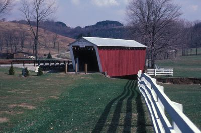
Harmon's Covered Bridge, place in Pennsylvania listed on National Register of Historic Places
Location: Indiana County
GPS coordinates: 40.71333,-79.08139
Latest update: September 23, 2025 16:46
Ghost Town Trail
28.8 km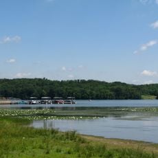
Yellow Creek State Park
16.8 km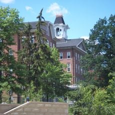
Miller Stadium
13 km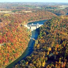
Mahoning Creek Dam
28.5 km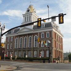
Old Indiana County Courthouse
11.7 km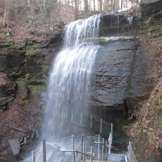
Buttermilk Falls Natural Area
32.7 km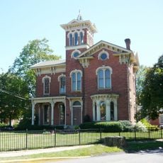
Silas M. Clark House
12 km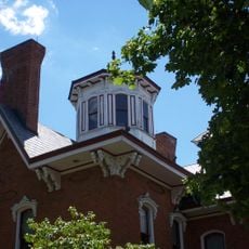
Breezedale
12.2 km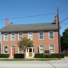
James Mitchell House
11.8 km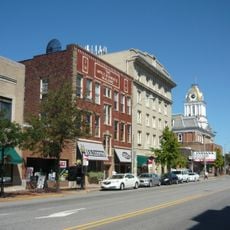
Downtown Indiana Historic District
11.8 km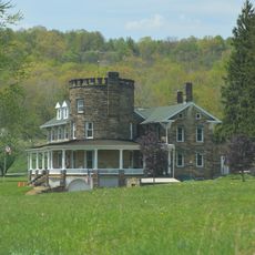
John B. McCormick House
14.3 km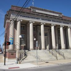
United States Post Office
27.4 km
Irvin-Patchin House
27.2 km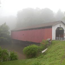
McGees Mills Covered Bridge
32.5 km
T. M. Kurtz House
27.2 km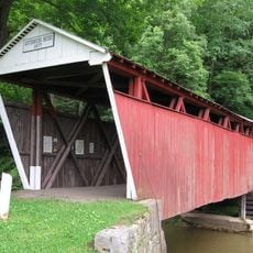
Kintersburg Covered Bridge
0 m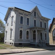
Christian Miller House
27.1 km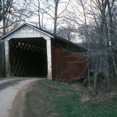
Thomas Covered Bridge
14.2 km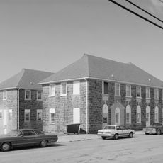
Colver Historic District
30.6 km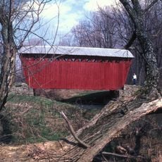
Trusal Covered Bridge
8.9 km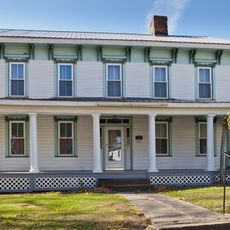
Thomas Marshall House
23 km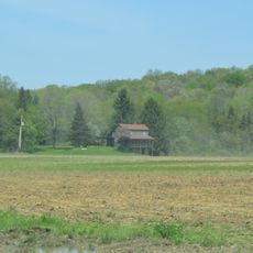
George Diehl Homestead
14.6 km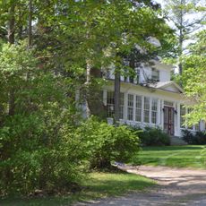
Sen. Joseph O. Clark House
24.4 km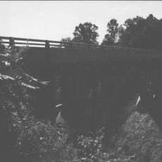
Colwell Cut Viaduct
34.4 km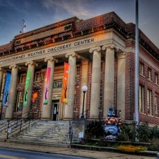
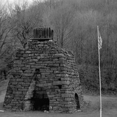
Punxsutawney Weather Discovery Center
27.3 km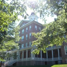
John Sutton Hall
12.5 km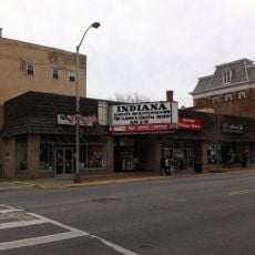
Indiana Theatre
11.7 km
Commodore Historic District
11.6 kmReviews
Visited this place? Tap the stars to rate it and share your experience / photos with the community! Try now! You can cancel it anytime.
Discover hidden gems everywhere you go!
From secret cafés to breathtaking viewpoints, skip the crowded tourist spots and find places that match your style. Our app makes it easy with voice search, smart filtering, route optimization, and insider tips from travelers worldwide. Download now for the complete mobile experience.

A unique approach to discovering new places❞
— Le Figaro
All the places worth exploring❞
— France Info
A tailor-made excursion in just a few clicks❞
— 20 Minutes