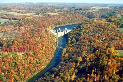
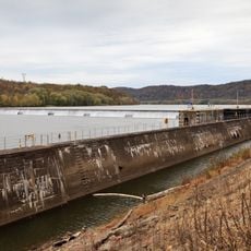
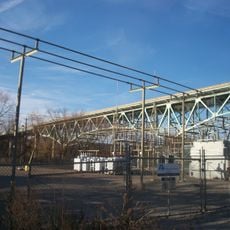
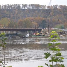
Mahoning Creek Dam, Gravity dam in Armstrong County, Pennsylvania
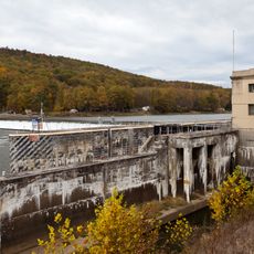
Mahoning Creek Dam is a concrete gravity structure in Armstrong County that spans across the waterway and creates a large reservoir for the area. The construction holds back water primarily for flood control and water management purposes.
The structure was built in 1941 by the United States Army Corps of Engineers as part of a regional flood control program. In 2012, it received modifications to generate electricity and support local energy needs.
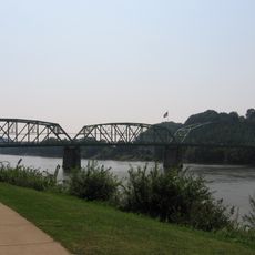
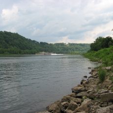
The dam and its surrounding parkland provide opportunities for fishing, boating, camping, and hiking activities throughout the recreational seasons.
The site sits between two township areas and is accessible via local roads that wind through wooded surroundings. Visitors should be prepared for changing weather and wear comfortable shoes when exploring the area around the structure.
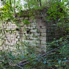
The wall relies on the weight of concrete itself to resist water pressure, requiring no cables or internal supports to stay in place. This straightforward design approach has proven effective in water engineering for more than a century.
Location: Armstrong County
GPS coordinates: 40.92180,-79.27760
Latest update: December 13, 2025 17:01
Kittanning Citizens Bridge
23.9 km
Allegheny River Lock and Dam No. 9
23 km
Allegheny River Lock and Dam No. 7
23.9 km
Brookville Historic District
31.2 km
Brookville Presbyterian Church and Manse
31.2 km
John B. McCormick House
16.4 km
Allegheny River Lock and Dam No. 8
17.1 km
United States Post Office
25.8 km
Armstrong County Courthouse and Jail
23.3 km
Sutton-Ditz House
33.8 km
Judge J. Frank Graff Bridge
24.6 km
Bradys Bend Iron Company Furnaces
30.5 km
T. M. Kurtz House
25.7 km
Kintersburg Covered Bridge
28.5 km
Christian Miller House
25.6 km
Thomas Covered Bridge
28.9 km
St. Stephen's Church
30.8 km
Phillip Taylor House
30.4 km
Trusal Covered Bridge
22.7 km
Buchanan Furnace
33.2 km
Thomas Marshall House
5.5 km
Joseph E. Hall House
31.1 km
Sergeant Carl F. Curran II Bridge
29.4 km
Gray-Taylor House
31.4 km
Colwell Cut Viaduct
7.4 km
Harmon's Covered Bridge
28.5 km
Bridge between Madison and Mahoning Townships
9.4 km
Punxsutawney Weather Discovery Center
25.8 kmVisited this place? Tap the stars to rate it and share your experience / photos with the community! Try now! You can cancel it anytime.
Discover hidden gems everywhere you go!
From secret cafés to breathtaking viewpoints, skip the crowded tourist spots and find places that match your style. Our app makes it easy with voice search, smart filtering, route optimization, and insider tips from travelers worldwide. Download now for the complete mobile experience.
A unique approach to discovering new places❞
— Le Figaro
All the places worth exploring❞
— France Info
A tailor-made excursion in just a few clicks❞
— 20 Minutes