Enable Location

We need your location to show you interesting places around you

Discover nearby places

Find interesting locations and hidden gems around you

Precise directions

Get accurate directions and distances to places

Your location is never shared with other users. It's only used when you tap the location button.

Armstrong County

Log in to your account

Start exploring — it's free

Trusted by 61,781 travelers worldwide

Continue with Google
Continue with Apple
or

We will send you a code to connect

By continuing, you accept our Terms and Conditions and our Privacy Policy

Check your inbox

We've sent a pincode in your inbox. Please enter the code below.

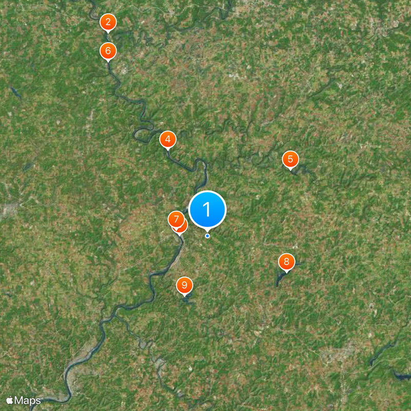
Armstrong County, Administrative county in Pennsylvania, United States.

Description

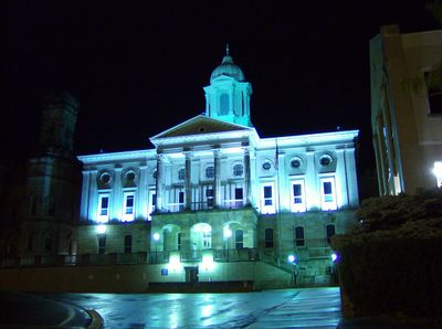
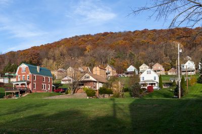
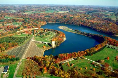
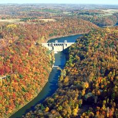
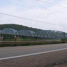
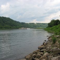
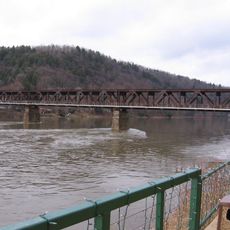
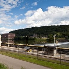
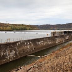
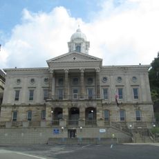
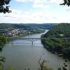
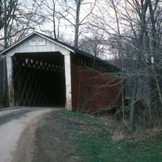
Armstrong County stretches across 653 square miles along the Allegheny River, with rolling valleys, hills, and multiple waterways across the Allegheny Plateau. Kittanning serves as the county seat and main hub for services, education, and commerce in the region.

History

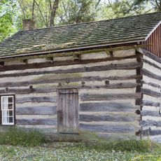
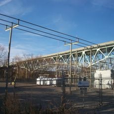
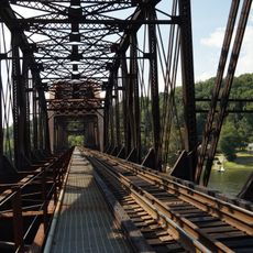
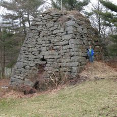
The county was founded in 1800 and named after John Armstrong, a military leader during the French and Indian War. It later became an industrial center as coal mining and oil exploration transformed the landscape and economy.

Culture

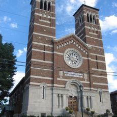
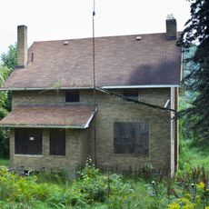
German, Italian, Irish, and Polish communities settled here after the Civil War, and you can still see their influence in local traditions and neighborhoods today.

Practical

Summer and early fall offer the best conditions for exploring the outdoors and enjoying the landscape comfortably. Kittanning is easy to reach and has hotels, restaurants, and shops where you can spend time or grab supplies.

Did you know?

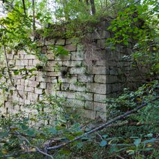
Parker, a small town within the county, was once an oil boom town and remains the smallest legally incorporated city in the United States. Its survival as an independent municipality despite its tiny size is a fascinating footnote in American geography.

Location
Inception
March 12, 1800
Capital city
Kittanning
Shares border with
Clarion County, Jefferson County, Indiana County, Westmoreland County, Allegheny County, Butler County
GPS coordinates
40.81000,-79.46000
Latest update
December 20, 2025 02:34

AroundUs brings together thousands of curated places, local tips, and hidden gems, enriched daily by 60,000 contributors worldwide. Discover all places nearby (Pennsylvania).

Around this place
Foxburg Country Club
United States of America

Foxburg Country Club

42.1 km
Kittanning Citizens Bridge
United States of America

Kittanning Citizens Bridge

5.3 km
Allegheny River Lock and Dam No. 9
United States of America

Allegheny River Lock and Dam No. 9

17.7 km
Mahoning Creek Dam
United States of America

Mahoning Creek Dam

19.8 km
Parker Bridge
United States of America

Parker Bridge

37.4 km
Allegheny River Lock and Dam No. 7
United States of America

Allegheny River Lock and Dam No. 7

5.9 km
United States of America

Keystone Lake

16.1 km
United States of America

Crooked Creek Lake Recreation Area

11.8 km
Drake Log Cabin
United States of America

Drake Log Cabin

27.3 km
St. Gertrude Roman Catholic Church
United States of America

St. Gertrude Roman Catholic Church

24.8 km
Allegheny River Lock and Dam No. 6
United States of America

Allegheny River Lock and Dam No. 6

14.6 km
Foxburg Bridge
United States of America

Foxburg Bridge

41.2 km
Allegheny River Lock and Dam No. 5
United States of America

Allegheny River Lock and Dam No. 5

22.2 km
Allegheny River Lock and Dam No. 8
United States of America

Allegheny River Lock and Dam No. 8

9.6 km
Armstrong County Courthouse and Jail
United States of America

Armstrong County Courthouse and Jail

4.8 km
United States of America

State Game Lands Number 287

11.4 km
United States of America

State Game Lands Number 137

21.8 km
Donald R. Lobaugh Bridge
United States of America

Donald R. Lobaugh Bridge

25.1 km
United States of America

State Game Lands Number 105

23.5 km
United States of America

State Game Lands Number 259

18.2 km
United States of America

State Game Lands Number 247

11.2 km
Judge J. Frank Graff Bridge
United States of America

Judge J. Frank Graff Bridge

5.1 km
Bradys Bend Iron Company Furnaces
United States of America

Bradys Bend Iron Company Furnaces

25.2 km
Thomas Covered Bridge
United States of America

Thomas Covered Bridge

24.9 km
Freeport Rail Bridge
United States of America

Freeport Rail Bridge

23.1 km
St. Stephen's Church
United States of America

St. Stephen's Church

25.1 km
Buchanan Furnace
United States of America

Buchanan Furnace

36.8 km
United States of America

Ford City Veterans Bridge

8.9 km
Show the full map
« Armstrong County - Administrative county in Pennsylvania, United States » is provided by Around Us (aroundus.com). Images and texts are derived from Wikimedia project under a Creative Commons license. You are allowed to copy, distribute, and modify copies of this page, under the conditions set by the license, as long as this note is clearly visible.

Discover hidden gems everywhere you go!

From secret cafés to breathtaking viewpoints, skip the crowded tourist spots and find places that match your style. Our app makes it easy with voice search, smart filtering, route optimization, and insider tips from travelers worldwide. Download now for the complete mobile experience.

Around Us App Screenshot

A unique approach to discovering new places

Le Figaro

All the places worth exploring

France Info

A tailor-made excursion in just a few clicks

20 Minutes

Around Us
Travel Guide & Maps
Download

Send to your phone

QR Code
1

Open the camera app on your mobile.

2

Point at the QR code with your camera. A notification will appear.

3

Tap the notification to open the link.