Enable Location

We need your location to show you interesting places around you

Discover nearby places

Find interesting locations and hidden gems around you

Precise directions

Get accurate directions and distances to places

Your location is never shared with other users. It's only used when you tap the location button.

Hotchkissville Historic District

Log in to your account

Start exploring — it's free

Trusted by 61,340 travelers worldwide

Continue with Google
Continue with Apple
or

We will send you a code to connect

By continuing, you accept our Terms and Conditions and our Privacy Policy

Check your inbox

We've sent a pincode in your inbox. Please enter the code below.

Hotchkissville Historic District, Historic district in Woodbury, Connecticut, United States.

Description

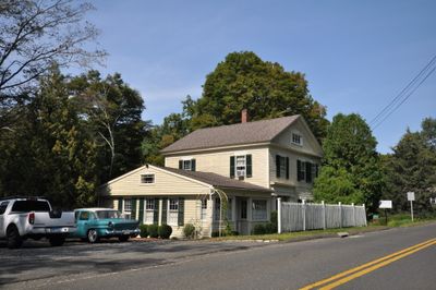
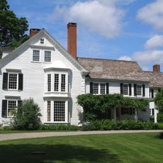
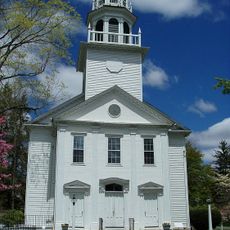
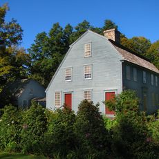
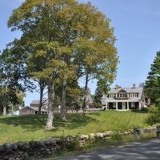
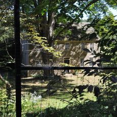
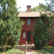
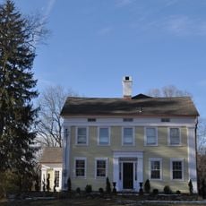
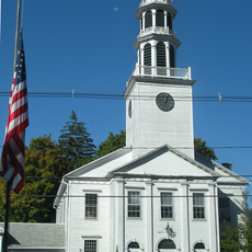
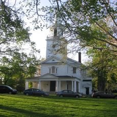
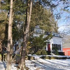
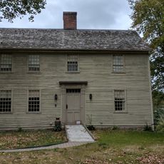
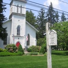
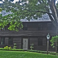
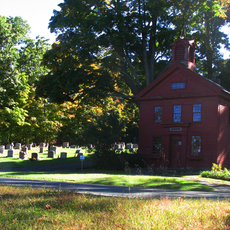
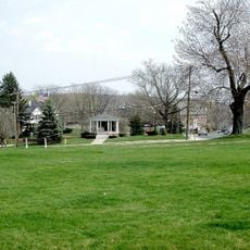
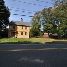
Hotchkissville is a historic district in Woodbury, Connecticut that stretches about one mile along the Weekeepeemee River Valley, centered around the intersection of Washington and Weekeepeemee roads. The area contains 202 structures, with 160 contributing buildings that display Federal, Colonial, and Greek Revival styles from the 1800s.

History

The area began as a colonial farming settlement and transformed into a textile manufacturing center after Josiah Hotchkiss converted a sawmill into a textile mill in 1814. This shift brought new people and structures to the rural landscape and shaped its economy for more than a century.

Culture

The district is named after Josiah Hotchkiss, whose family shaped the local economy for generations. Walking through the area, you see how residents mixed industrial work with farming, creating a unique blend of factory and agricultural life.

Practical

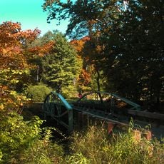
The best way to explore the area is to follow Washington Road on the east side and Westwood Road on the west side of the Weekeepeemee River. This allows you to see buildings on both sides of the river and understand how the community was spread across the landscape.

Did you know?

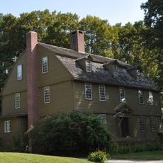
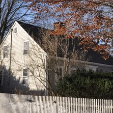
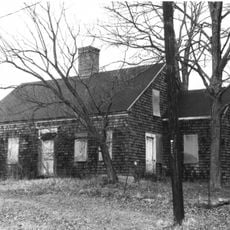
The district preserves worker houses that show the everyday conditions of mill employees while surrounding fields continued to be farmed. This blend of industrial work and agriculture in the same area is uncommon and offers a rare view of early American industrialization.

Location
Architectural style
Greek Revival architecture, Renaissance Revival architecture
GPS coordinates
41.56278,-73.21889
Latest update
December 14, 2025 13:07

AroundUs brings together thousands of curated places, local tips, and hidden gems, enriched daily by 60,000 contributors worldwide. Discover all places nearby (Connecticut).

Around this place
Quassy Amusement Park
United States of America

Quassy Amusement Park

7 km
Bellamy-Ferriday House and Garden
United States of America

Bellamy-Ferriday House and Garden

9.2 km
South Britain Historic District
United States of America

South Britain Historic District

10.8 km
Glebe House
United States of America

Glebe House

2.8 km
Christ Episcopal Church
United States of America

Christ Episcopal Church

8.4 km
Mine Hills Preserve
United States of America

Mine Hills Preserve

9.7 km
Tranquility Farm
United States of America

Tranquility Farm

7.2 km
The Hollister Homestead
United States of America

The Hollister Homestead

7.5 km
Josiah Bronson House
United States of America

Josiah Bronson House

8 km
Bethlehem Green Historic District
United States of America

Bethlehem Green Historic District

8.4 km
Reuben Curtiss House
United States of America

Reuben Curtiss House

10.5 km
Woodbury Historic District No. 1
United States of America

Woodbury Historic District No. 1

2.2 km
Jabez Bacon House
United States of America

Jabez Bacon House

2.9 km
Leroy Anderson House
United States of America

Leroy Anderson House

2.9 km
Washington Green Historic District
United States of America

Washington Green Historic District

10.3 km
Aaron Bronson House
United States of America

Aaron Bronson House

10.6 km
Hurley Road Historic District
United States of America

Hurley Road Historic District

10.9 km
David Sherman House
United States of America

David Sherman House

4.2 km
Minortown Road Bridge
United States of America

Minortown Road Bridge

3.9 km
Middlebury Center Historic District
United States of America

Middlebury Center Historic District

8.8 km
Skilton Road Bridge
United States of America

Skilton Road Bridge

8.9 km
Roxbury Center
United States of America

Roxbury Center

7.4 km
Caleb Martin House
United States of America

Caleb Martin House

7.4 km
Southbury Historic District No. 1
United States of America

Southbury Historic District No. 1

7.6 km
Watertown Center Historic District
United States of America

Watertown Center Historic District

9.4 km
Woodbury Historic District No. 2
United States of America

Woodbury Historic District No. 2

5.4 km
Nathaniel Richardson House
United States of America

Nathaniel Richardson House

10.6 km
Larkin State Park Trail
United States of America

Larkin State Park Trail

10.1 km
Show the full map
« Hotchkissville Historic District - Historic district in Woodbury, Connecticut, United States » is provided by Around Us (aroundus.com). Images and texts are derived from Wikimedia project under a Creative Commons license. You are allowed to copy, distribute, and modify copies of this page, under the conditions set by the license, as long as this note is clearly visible.

Discover hidden gems everywhere you go!

From secret cafés to breathtaking viewpoints, skip the crowded tourist spots and find places that match your style. Our app makes it easy with voice search, smart filtering, route optimization, and insider tips from travelers worldwide. Download now for the complete mobile experience.

Around Us App Screenshot

A unique approach to discovering new places

Le Figaro

All the places worth exploring

France Info

A tailor-made excursion in just a few clicks

20 Minutes

Around Us
Travel Guide & Maps
Download

Send to your phone

QR Code
1

Open the camera app on your mobile.

2

Point at the QR code with your camera. A notification will appear.

3

Tap the notification to open the link.