
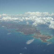
Isabel II barrio-pueblo, historical center and municipality seat of Vieques, Puerto Rico
Location: Vieques
Elevation above the sea: 20 m
GPS coordinates: 18.14721,-65.44282
Latest update: March 26, 2025 04:29
Vieques National Wildlife Refuge
4.4 kmBlue Beach
7 kmCaracas Beach
5.3 km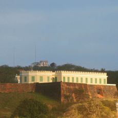
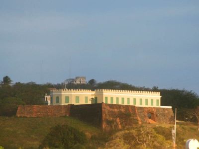
Vieques Fort
392 m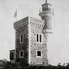
Cabras Island Light
18.1 km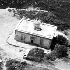
Puerto Ferro Light
6 km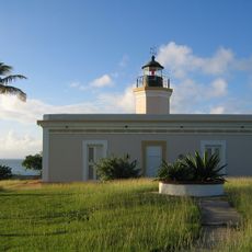
Punta Mulas Light
816 m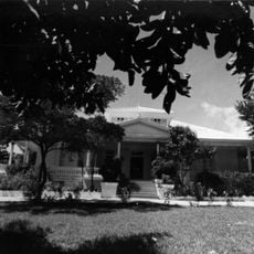
Frenchman's House Estate
6.1 km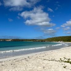
Playa Caracas
5.4 km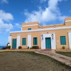
El Fortin de Conde Mirasol Museum
394 m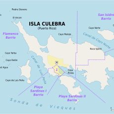
Cayo Lobo
20.9 km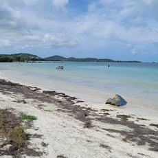
Medio Mundo Beach
22.9 km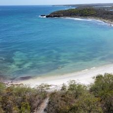
Playa Prieta
6 km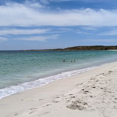
Playa Chiva
7 km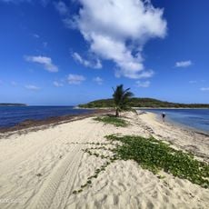
Playa Punta Arenas
14.5 km
Gringo Beach
3.5 km
Playa Media Luna
6.3 km
Playa Sardinas
22.6 km
Navio Beach
6.1 km
Melones Beach
22.3 km
Playa Los Dátiles
22.6 km
Luis Peña Beach
21.6 km
Cayo Luis Pena
20.6 km
Playa Sun Bay
5.9 km
Playa Media Luna
6.6 km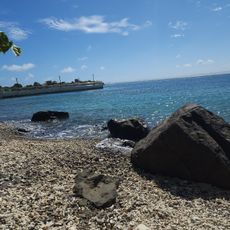
Playa de Sardinas
22.7 km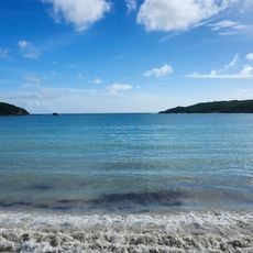
Playa Media Luna
6.3 km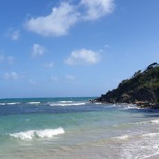
Playa Escondida
7.8 kmVisited this place? Tap the stars to rate it and share your experience / photos with the community! Try now! You can cancel it anytime.
Discover hidden gems everywhere you go!
From secret cafés to breathtaking viewpoints, skip the crowded tourist spots and find places that match your style. Our app makes it easy with voice search, smart filtering, route optimization, and insider tips from travelers worldwide. Download now for the complete mobile experience.

A unique approach to discovering new places❞
— Le Figaro
All the places worth exploring❞
— France Info
A tailor-made excursion in just a few clicks❞
— 20 Minutes