
Joseph E. Muller Bridge, bridge in Massachusetts, Hampden County; Massachusetts
Location: Massachusetts
Official opening: 1958
GPS coordinates: 42.21610,-72.60780
Latest update: March 8, 2025 01:20


Mount Tom
4.4 km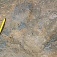
Dinosaur Footprints Reservation
3.1 km
Holyoke Canal System
1 km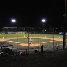
Mackenzie Stadium
2.1 km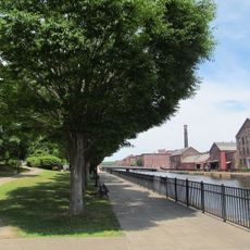
Holyoke Heritage State Park
1.2 km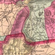
South Hadley Canal
536 m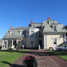
Wistariahurst
1.5 km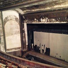
Victory Theatre
1 km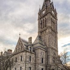
Holyoke City Hall
1.1 km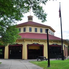
Holyoke Merry-Go-Round
1.1 km
Mount Holyoke College Art Museum
5.4 km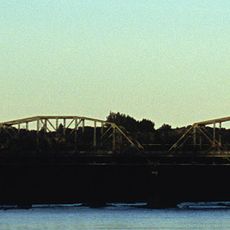
Willimansett Bridge
2.4 km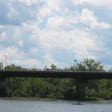
Vietnam Memorial Bridge
1.1 km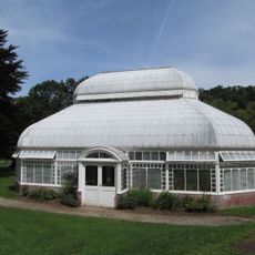
Mount Holyoke College Botanic Garden
5.4 km
Churchill, Holyoke, Massachusetts
1.8 km
Joseph Allen Skinner Museum
1.5 km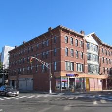
Clovis Robert Block
1.8 km
Woodbridge Street Historic District
6.1 km
Caledonia Building
958 m
Veterans Park (Holyoke, Massachusetts)
869 m
Carreau Block
3.5 km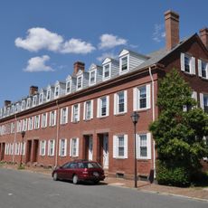
Hadley Falls Company Housing District
2.2 km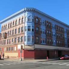
Friedrich Block
2 km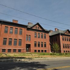
Chapin School
3.5 km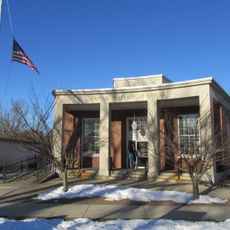
United States Post Office–South Hadley Main
5.6 km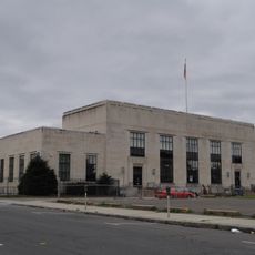
United States Post Office–Holyoke Main
924 m
Mount Tom State Reservation
6 km
North High Street Historic District
897 mReviews
Visited this place? Tap the stars to rate it and share your experience / photos with the community! Try now! You can cancel it anytime.
Discover hidden gems everywhere you go!
From secret cafés to breathtaking viewpoints, skip the crowded tourist spots and find places that match your style. Our app makes it easy with voice search, smart filtering, route optimization, and insider tips from travelers worldwide. Download now for the complete mobile experience.

A unique approach to discovering new places❞
— Le Figaro
All the places worth exploring❞
— France Info
A tailor-made excursion in just a few clicks❞
— 20 Minutes