Chest opened
+${chestReward.xp} XP
Explorer
NOUVEAU ×${chestReward.collectible.quantity}
tapez pour fermer

See the monuments around you in AR Open chests in the app

Around Us is built for your phone — point your camera at the streets and discover the monuments and places around you in augmented reality. Around Us is built for your phone — chests unlock when you walk, explore and capture nearby places.

•

Enable Location

We need your location to show you interesting places around you

Discover nearby places

Find interesting locations and hidden gems around you

Precise directions

Get accurate directions and distances to places

Your location is never shared with other users. It's only used when you tap the location button.

Monitor-Merrimac Memorial Bridge-Tunnel

Log in to your account

Start exploring — it's free

Trusted by 89,158 travelers worldwide

Continue with Google
Continue with Apple
or

We will send you a code to connect

By continuing, you accept our Terms and Conditions and our Privacy Policy

Check your inbox

We've sent a pincode in your inbox. Please enter the code below.

Monitor-Merrimac Memorial Bridge-Tunnel
Discussion Reviews 1 Photos
28.2k Popularity

Monitor-Merrimac Memorial Bridge-Tunnel, Bridge-tunnel complex on Interstate 664 in Virginia, United States

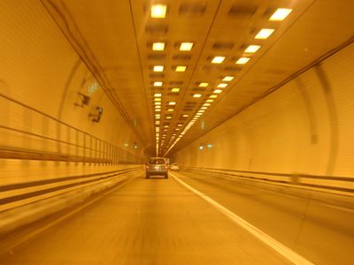
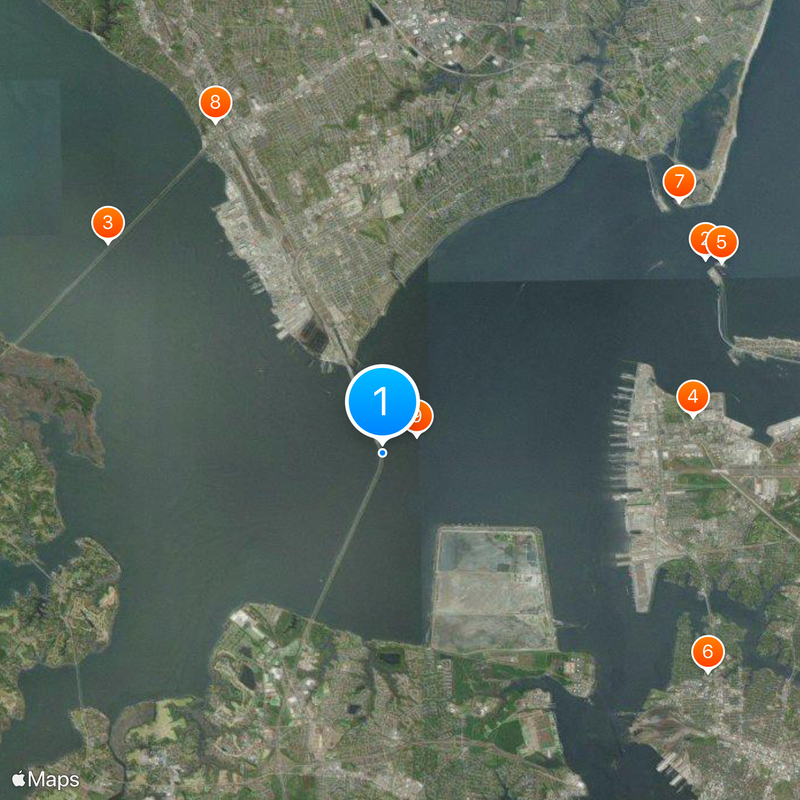
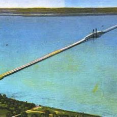
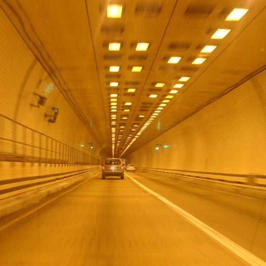
The Monitor-Merrimac Memorial Bridge-Tunnel is a bridge-tunnel complex on Interstate 664 in Virginia. The structure links Newport News and Suffolk through a combination of elevated sections and passages beneath the Hampton Roads harbor.

The facility takes its name from the 1862 naval engagement between USS Monitor and CSS Virginia. This historic encounter occurred less than a mile from where the crossing stands today.

This transportation link represents Virginia's engineering advancement in connecting coastal communities while maintaining navigation channels for maritime traffic.

The route carries thousands of vehicles daily on four lanes with no tolls. Tunnel segments run beneath the water while elevated sections pass over shallower areas.

Two artificial islands mark the transition between the elevated roadway and the underwater tube. These constructed landforms allow deep-draft ships to pass through the main shipping channel without obstruction.

The community of curious travelers

AroundUs brings together thousands of curated places, local tips, and hidden gems, enriched daily by 60,000 contributors worldwide.
Start exploring
Location
GPS coordinates
36.94084,-76.40167
Latest update
September 16, 2026 17:09
Around this place
James River Bridge
United States of America

James River Bridge

5.7 mi
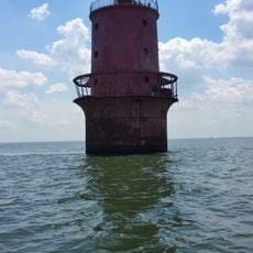
Newport News Middle Ground Light
United States of America

Newport News Middle Ground Light

0.6 mi
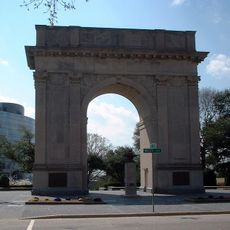
Newport News Victory Arch
United States of America

Newport News Victory Arch

3 mi
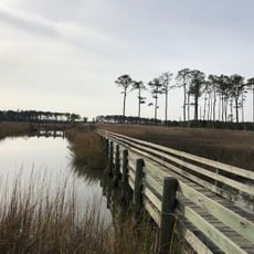
Ragged Island Wildlife Management Area
United States of America

Ragged Island Wildlife Management Area

5.6 mi
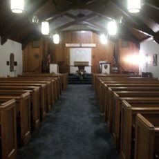
Commodore Levy Chapel
United States of America

Commodore Levy Chapel

4.6 mi
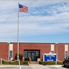
United States Navy Brig, Norfolk Virginia
United States of America

United States Navy Brig, Norfolk Virginia

5.5 mi
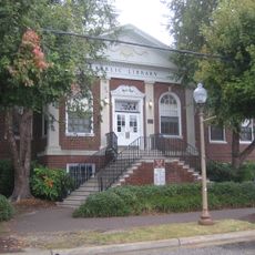
Newport News Public Library
United States of America

Newport News Public Library

3.3 mi
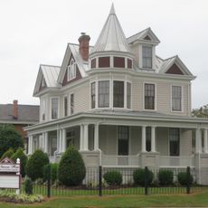
J. Thomas Newsome House
United States of America

J. Thomas Newsome House

3.4 mi
Old Wythe Historic District
United States of America

Old Wythe Historic District

4.5 mi
James A. Fields House
United States of America

James A. Fields House

3.2 mi
St. Vincent de Paul Catholic Church
United States of America

St. Vincent de Paul Catholic Church

3.4 mi
Boush-Tazewell House
United States of America

Boush-Tazewell House

5.7 mi
Craney Island Light
United States of America

Craney Island Light

4.9 mi
First Baptist Church
United States of America

First Baptist Church

3.2 mi
Noland Company Building
United States of America

Noland Company Building

3.2 mi
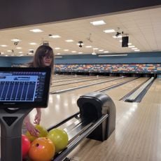
Pierside Lanes Bowling Center
United States of America

Pierside Lanes Bowling Center

4.4 mi
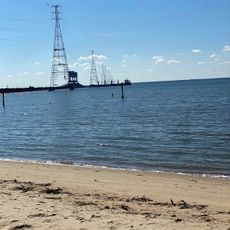
Huntington Beach
United States of America

Huntington Beach

6 mi
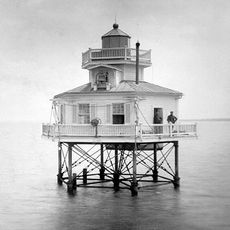
Nansemond River Light
United States of America

Nansemond River Light

3.1 mi
Medical Arts Building
United States of America

Medical Arts Building

3.2 mi
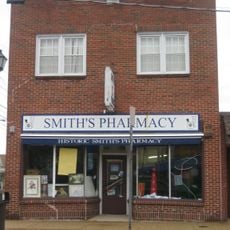
Smith's Pharmacy
United States of America

Smith's Pharmacy

3.6 mi
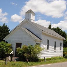
Little England Chapel
United States of America

Little England Chapel

5.7 mi
Greenlawn Memorial Park
United States of America

Greenlawn Memorial Park

3.8 mi
United States of America

Work of art

5.7 mi
United States of America

Scenic viewpoint

3.5 mi
United States of America

White Blind

3.5 mi
United States of America

White Blind

3.5 mi
United States of America

Scenic viewpoint

5.4 mi
United States of America

F/A-18

5.5 mi
Show the full map
Reviews
Share your experience

No review yet

Discussions
Start a discussion...

No discussion yet

« Monitor-Merrimac Memorial Bridge-Tunnel - Bridge-tunnel complex on Interstate 664 in Virginia, United States » is provided by Around Us (aroundus.com). Images and texts are derived from Wikimedia project under a Creative Commons license. You are allowed to copy, distribute, and modify copies of this page, under the conditions set by the license, as long as this note is clearly visible.

Discover hidden gems everywhere you go!

From secret cafés to breathtaking viewpoints, skip the crowded tourist spots and find places that match your style. Our app makes it easy with voice search, smart filtering, route optimization, and insider tips from travelers worldwide. Download now for the complete mobile experience.

Around Us App Screenshot
❝

A unique approach to discovering new places❞

— Le Figaro

❝

All the places worth exploring❞

— France Info

❝

A tailor-made excursion in just a few clicks❞

— 20 Minutes

Around Us
Travel Guide & Maps
Download

Send to your phone

QR Code
1

Open the camera app on your mobile.

2

Point at the QR code with your camera. A notification will appear.

3

Tap the notification to open the link.