Enable Location

We need your location to show you interesting places around you

Discover nearby places

Find interesting locations and hidden gems around you

Precise directions

Get accurate directions and distances to places

Your location is never shared with other users. It's only used when you tap the location button.

Mount Pleasant Historic District

Log in to your account

Start exploring — it's free

Trusted by 63,427 travelers worldwide

Continue with Google
Continue with Apple
or

We will send you a code to connect

By continuing, you accept our Terms and Conditions and our Privacy Policy

Check your inbox

We've sent a pincode in your inbox. Please enter the code below.

Discussion Reviews 1 Photos
1.6k Popularity

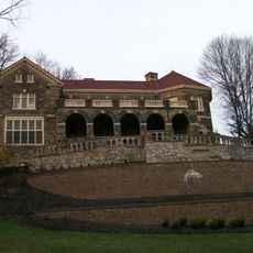
Mount Pleasant Historic District, National Historic Landmark in Mount Pleasant, Ohio.

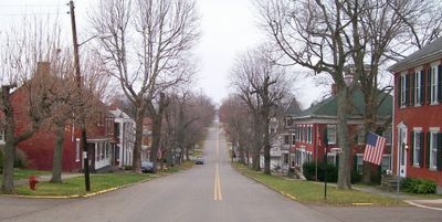
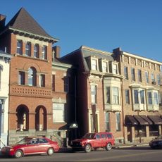
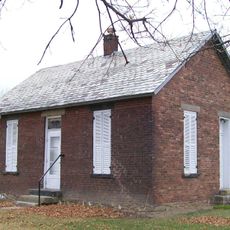
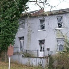
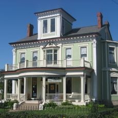
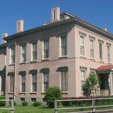
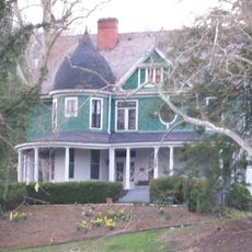
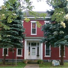
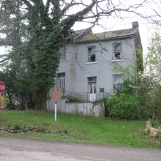
Mount Pleasant Historic District is a protected district in Ohio preserving structures and streets from the early 1800s. The neighborhood occupies the intersection of Union and Concord Streets, where residential buildings now stand where commercial enterprises once operated.

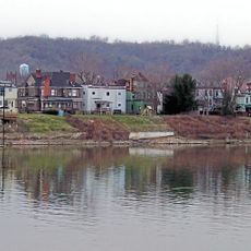
Founded in 1803 by Robert Carothers and Jesse Thomas, the district grew rapidly as a commercial hub. Over the following decades it became known for its role helping enslaved people escape bondage.

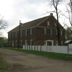
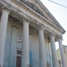
The Quaker meeting tradition continues to shape how people experience this place, centered on the 1814 meetinghouse that drew worshippers from across the region. Visitors can sense how faith communities built and defined neighborhoods through gathering spaces.

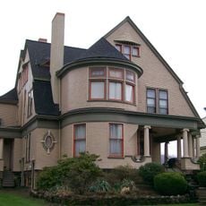
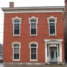
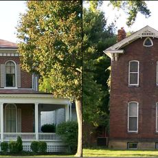
The district retains its original street layout from 1803, making it easy to walk and explore on foot. Taking a leisurely pace through the streets helps visitors notice details of the buildings and their architectural features.

In 1848 residents opened a store selling only products made without slave labor, an early example of conscious consumption. This shows how everyday purchasing decisions became a form of resistance against injustice.

The community of curious travelers

AroundUs brings together thousands of curated places, local tips, and hidden gems, enriched daily by 60,000 contributors worldwide.

Start exploring
Location
GPS coordinates
40.17444,-80.79861
Latest update
December 14, 2025 14:26
Around this place
Wheeling Suspension Bridge
United States of America

Wheeling Suspension Bridge

13.1 km
Wheeling Island
United States of America

Wheeling Island

12.8 km
Capitol Theatre
United States of America

Capitol Theatre

13.2 km
Fort Henry Bridge
United States of America

Fort Henry Bridge

12.9 km
Bridgeport Bridge
United States of America

Bridgeport Bridge

12.4 km
Aetnaville Bridge
United States of America

Aetnaville Bridge

11.8 km
Pike Island Locks and Dam
United States of America

Pike Island Locks and Dam

8.5 km
Hodgen's Cemetery Mound
United States of America

Hodgen's Cemetery Mound

8.8 km
Johnson Camden McKinley House
United States of America

Johnson Camden McKinley House

13.2 km
Friends Meetinghouse
United States of America

Friends Meetinghouse

368 m
Blaine Hill "S" Bridge
United States of America

Blaine Hill "S" Bridge

12.1 km
Wheeling Island Historic District
United States of America

Wheeling Island Historic District

12.8 km
Federal Building and United States Courthouse
United States of America

Federal Building and United States Courthouse

13.5 km
North Wheeling Historic District
United States of America

North Wheeling Historic District

12.8 km
Concord Hicksite Friends Meeting House
United States of America

Concord Hicksite Friends Meeting House

5.5 km
Benjamin Lundy House
United States of America

Benjamin Lundy House

450 m
John McLure House
United States of America

John McLure House

13.2 km
Henry K. List House
United States of America

Henry K. List House

12.9 km
H. C. Ogden House
United States of America

H. C. Ogden House

13.1 km
Elm Hill
United States of America

Elm Hill

13.6 km
Central School
United States of America

Central School

10.8 km
Stringer Stone House
United States of America

Stringer Stone House

9.4 km
Joseph Kirkwood House
United States of America

Joseph Kirkwood House

12.6 km
Harry C. and Jessie F. Franzheim House
United States of America

Harry C. and Jessie F. Franzheim House

13.4 km
Robert C. Woods House
United States of America

Robert C. Woods House

13.1 km
Monroe Street East Historic District
United States of America

Monroe Street East Historic District

13.4 km
Thomas T. and Wesley B. Frasier Houses
United States of America

Thomas T. and Wesley B. Frasier Houses

12 km
Benjamin Lundy Home
United States of America

Benjamin Lundy Home

416 m
Show the full map
Reviews
Share your experience

No review yet

Discussions
Start a discussion...

No discussion yet

« Mount Pleasant Historic District - National Historic Landmark in Mount Pleasant, Ohio » is provided by Around Us (aroundus.com). Images and texts are derived from Wikimedia project under a Creative Commons license. You are allowed to copy, distribute, and modify copies of this page, under the conditions set by the license, as long as this note is clearly visible.

Discover hidden gems everywhere you go!

From secret cafés to breathtaking viewpoints, skip the crowded tourist spots and find places that match your style. Our app makes it easy with voice search, smart filtering, route optimization, and insider tips from travelers worldwide. Download now for the complete mobile experience.

Around Us App Screenshot

A unique approach to discovering new places

Le Figaro

All the places worth exploring

France Info

A tailor-made excursion in just a few clicks

20 Minutes

Around Us
Travel Guide & Maps
Download

Send to your phone

QR Code
1

Open the camera app on your mobile.

2

Point at the QR code with your camera. A notification will appear.

3

Tap the notification to open the link.