Enable Location

We need your location to show you interesting places around you

Discover nearby places

Find interesting locations and hidden gems around you

Precise directions

Get accurate directions and distances to places

Your location is never shared with other users. It's only used when you tap the location button.

Old Harbor Historic District

Log in to your account

Start exploring — it's free

Trusted by 62,609 travelers worldwide

Continue with Google
Continue with Apple
or

We will send you a code to connect

By continuing, you accept our Terms and Conditions and our Privacy Policy

Check your inbox

We've sent a pincode in your inbox. Please enter the code below.

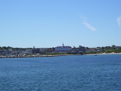
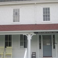
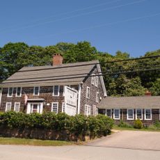
Old Harbor Historic District, Historic district in New Shoreham, US.

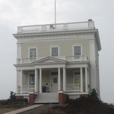
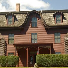
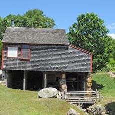
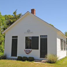
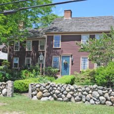
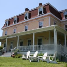
The Old Harbor Historic District is a neighborhood with around 42 buildings spread along Spring, High, and Water streets, bounded by the Atlantic Ocean and Main Street. Most structures date from the late 1800s and show features of Second Empire architecture.

The neighborhood was added to the National Register of Historic Places in 1974 to preserve the buildings that shaped this island community's development. This protected status recognized the importance of the collected structures to local history.

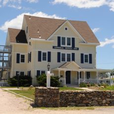
The streets show a mix of homes, shops, and inns that reflect how a historic harbor town once worked. You can see how visitors and residents still use these old buildings, which continue to shape the character of the place.

The area is best explored on foot, with flat streets that are easy to navigate. Many of the old hotels still operate today and offer visitors the chance to stay or dine in a historic setting.

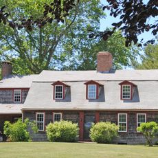
The area includes commercial, residential, and hospitality buildings from different eras, with the Empire Theatre from 1880 standing out as one of the most interesting structures. This mix of different building types shows how varied the economic life was in this harbor community.

The community of curious travelers

AroundUs brings together thousands of curated places, local tips, and hidden gems, enriched daily by 60,000 contributors worldwide.

Start exploring
Location
GPS coordinates
41.17220,-71.55750
Latest update
December 14, 2025 14:40
Around this place
Block Island Southeast Light
United States of America

Block Island Southeast Light

2.1 km
Theatre-By-the-Sea
United States of America

Theatre-By-the-Sea

22.8 km
Mohegan Bluffs
United States of America

Mohegan Bluffs

2.3 km
Burlingame State Park
United States of America

Burlingame State Park

24.4 km
Scarborough Beach
United States of America

Scarborough Beach

25.2 km
Block Island North Light
United States of America

Block Island North Light

6.4 km
Point Judith Light
United States of America

Point Judith Light

22 km
East Matunuck State Beach
United States of America

East Matunuck State Beach

23 km
United States of America

Roger Wheeler State Beach

22.7 km
Fishermen's Memorial State Park
United States of America

Fishermen's Memorial State Park

23.9 km
Fort Ninigret
United States of America

Fort Ninigret

24.5 km
Charlestown Breachway State Beach
United States of America

Charlestown Breachway State Beach

21.6 km
Ninigret National Wildlife Refuge
United States of America

Ninigret National Wildlife Refuge

21.8 km
Block Island Historical Society
United States of America

Block Island Historical Society

428 m
Frosty Drew Observatory
United States of America

Frosty Drew Observatory

23.5 km
Joseph Stanton House
United States of America

Joseph Stanton House

24 km
Babcock House
United States of America

Babcock House

22.5 km
Browning's Beach Historic District
United States of America

Browning's Beach Historic District

22.5 km
Sheffield House
United States of America

Sheffield House

22.2 km
US Weather Bureau Station
United States of America

US Weather Bureau Station

1.3 km
Hale House
United States of America

Hale House

25.1 km
Dewey Cottage
United States of America

Dewey Cottage

23 km
Willow Dell
United States of America

Willow Dell

25 km
Perry-Carpenter Grist Mill
United States of America

Perry-Carpenter Grist Mill

24.5 km
District Schoolhouse No. 2
United States of America

District Schoolhouse No. 2

25 km
Red House
United States of America

Red House

25.4 km
Hygeia House
United States of America

Hygeia House

1.3 km
Trustom Pond National Wildlife Refuge
United States of America

Trustom Pond National Wildlife Refuge

22.8 km
Show the full map
« Old Harbor Historic District - Historic district in New Shoreham, US » is provided by Around Us (aroundus.com). Images and texts are derived from Wikimedia project under a Creative Commons license. You are allowed to copy, distribute, and modify copies of this page, under the conditions set by the license, as long as this note is clearly visible.

Discover hidden gems everywhere you go!

From secret cafés to breathtaking viewpoints, skip the crowded tourist spots and find places that match your style. Our app makes it easy with voice search, smart filtering, route optimization, and insider tips from travelers worldwide. Download now for the complete mobile experience.

Around Us App Screenshot

A unique approach to discovering new places

Le Figaro

All the places worth exploring

France Info

A tailor-made excursion in just a few clicks

20 Minutes

Around Us
Travel Guide & Maps
Download

Send to your phone

QR Code
1

Open the camera app on your mobile.

2

Point at the QR code with your camera. A notification will appear.

3

Tap the notification to open the link.