Rock House Reservation, Protected area in West Brookfield, Massachusetts, US.
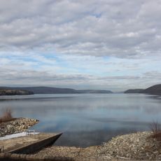
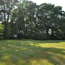
Rock House Reservation is a protected area in West Brookfield, Massachusetts, made up of hardwood forests, pine groves, and several miles of walking trails. The land shifts between dense wooded sections and more open stretches with views across the surrounding hills.
The area served as a winter camp for Native Americans, who valued the rock shelter's position along two major travel routes. By the late 1600s, European settlers had converted much of the land to farmland.
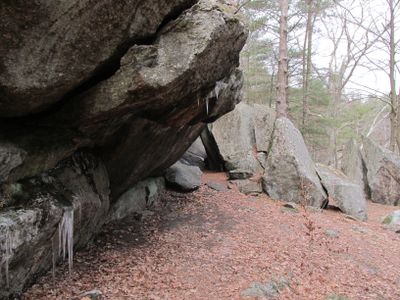
The name 'Rock House' comes from the natural rock shelter that sits at the heart of the grounds. Visitors can walk up to it today and get a clear sense of why it drew people to this spot for so long.
The reservation is open every day from sunrise to sunset, with a small parking area along Route 9. Sturdy shoes are a good idea on the trails, as the ground can be uneven in places.
Balance Rock, a large glacial boulder left by the Wisconsin Glacier, sits perched on a stone outcrop as if placed there by hand. This natural balance is the result of the glacier's slow retreat thousands of years ago, not human intervention.
The community of curious travelers
AroundUs brings together thousands of curated places, local tips, and hidden gems, enriched daily by 60,000 contributors worldwide.